Roads threaten Indonesia’s last Tiger territory

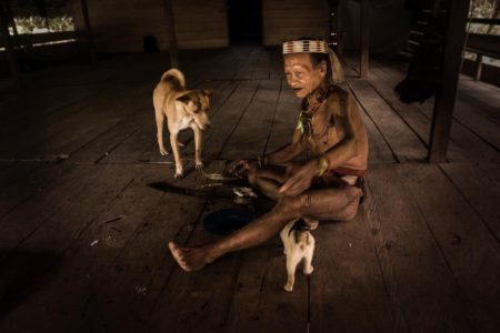
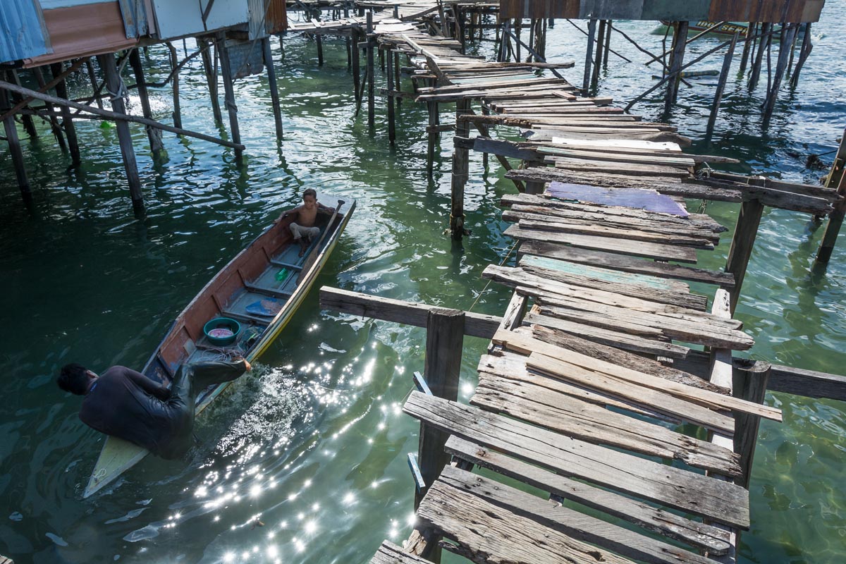
  • Sumatra’s Kerinci Seblat National Park is part of a UNESCO World Heritage Site known as the Tropical Rainforest Heritage of Sumatra (TRHS), which has been inscribed on UNESCO’s List of World Heritage in Danger since 2011.
  • UNESCO has noted particular concern about a spate of road projects planned for Kerinci Seblat and other protected areas within the TRHS.
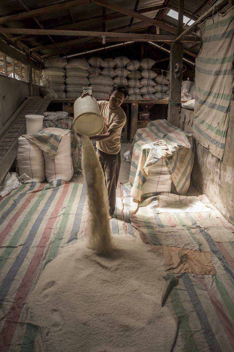
  • According to park officials, Indonesia’s forestry ministry has refused permits for all new roads within the park; the sole project to receive permission is the upgrade of an existing road.
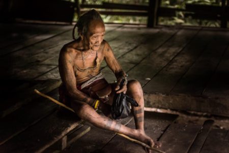
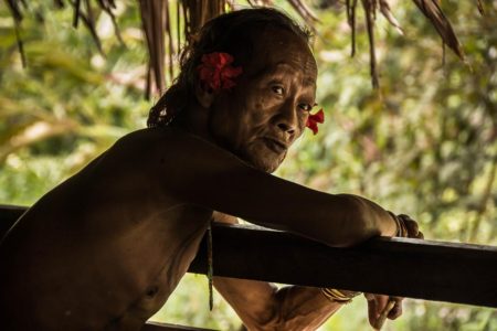
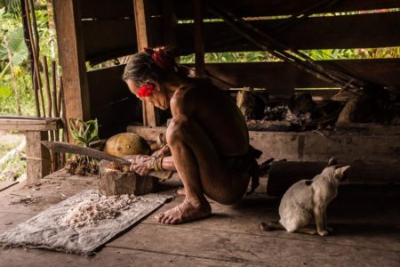
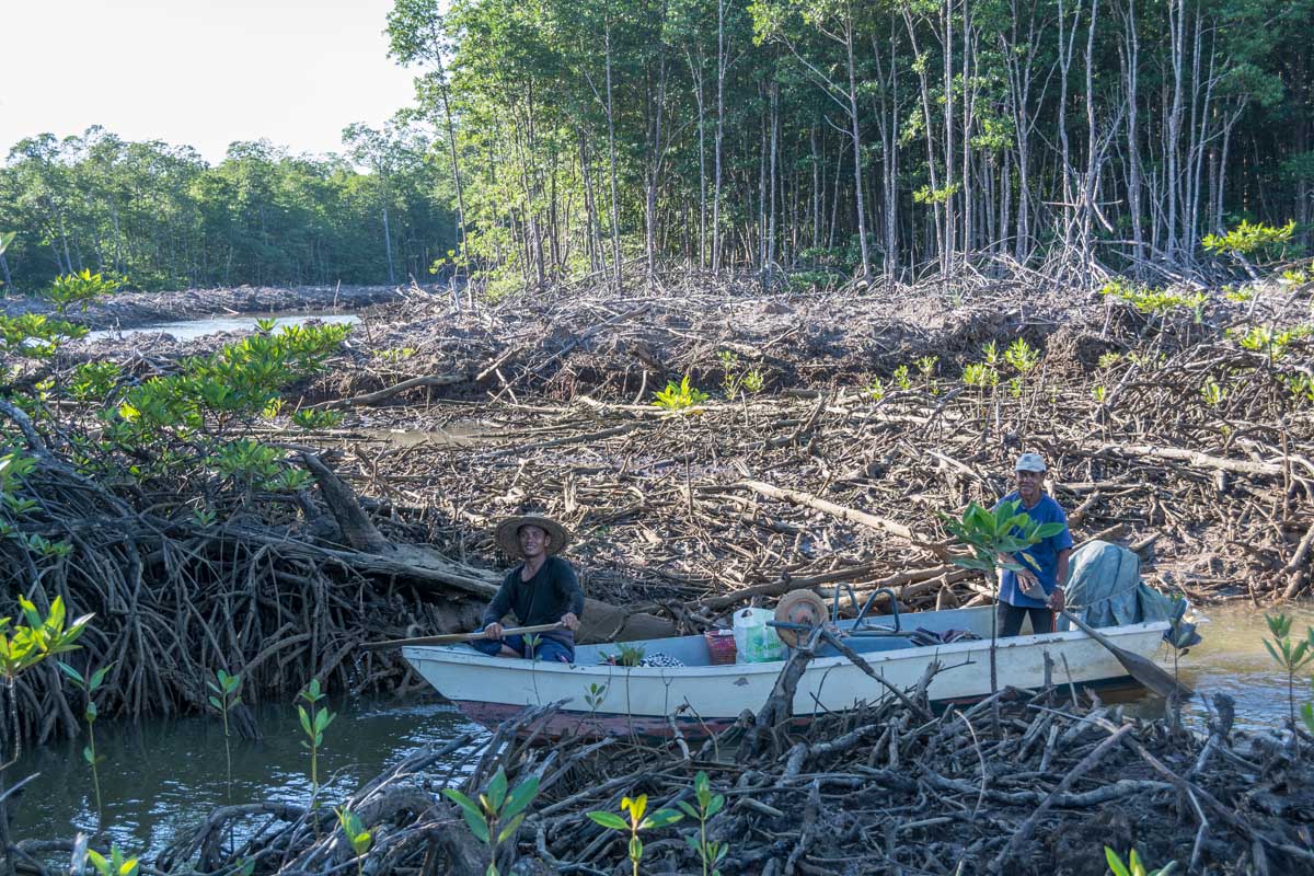
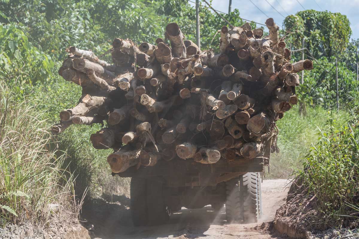
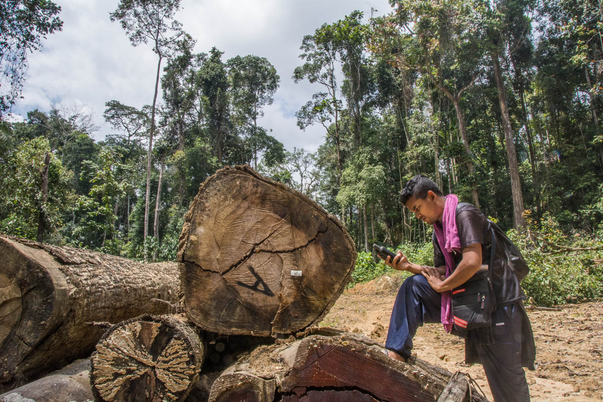
  • The park still faces immense pressure from encroachment for agriculture, logging, mining and poaching.

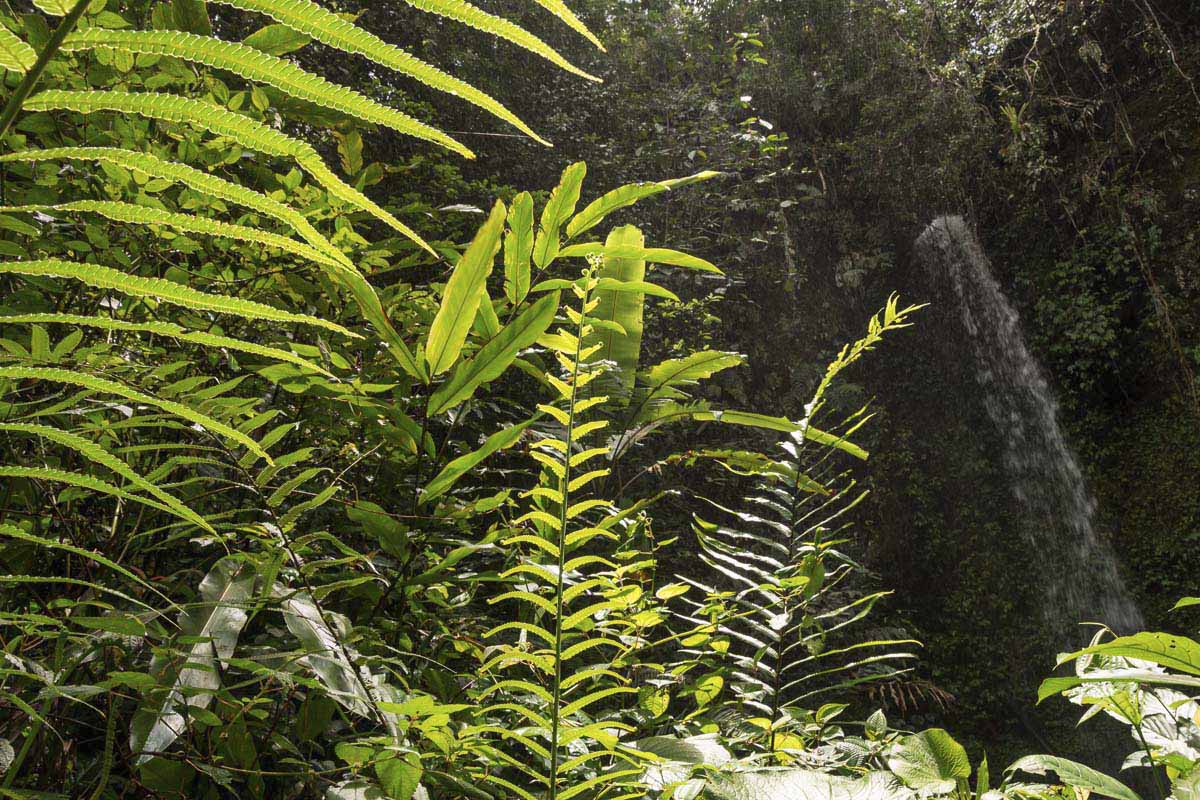
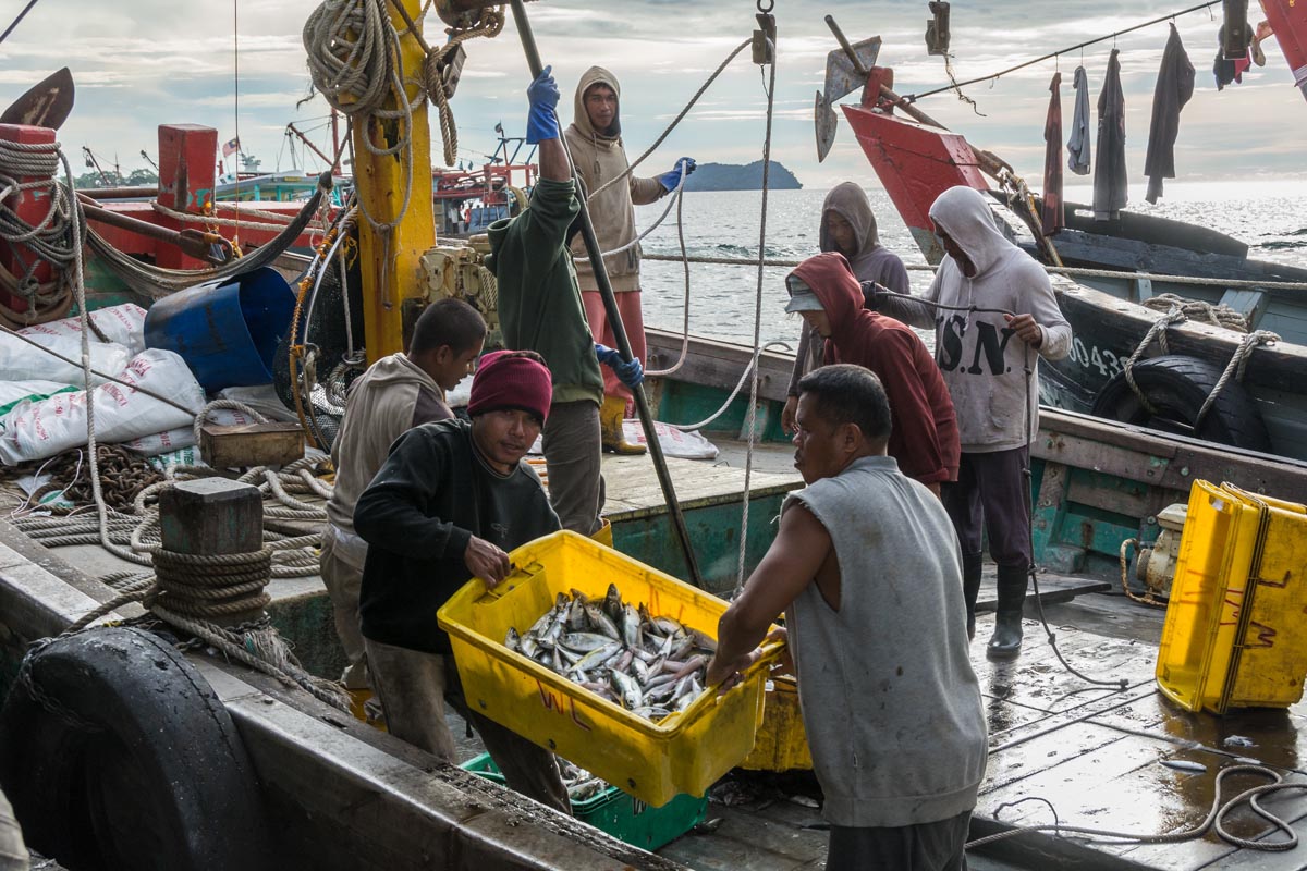
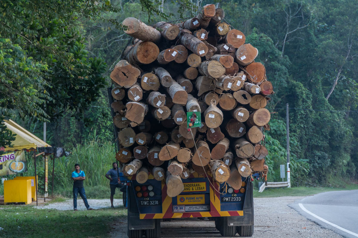
The rainforests that once carpeted Indonesia’s Sumatra Island are among the world’s most biodiverse ecosystems, home to iconic species like the Sumatran tiger, rhino and orangutan. They are also among the most imperiled; in just two decades, between 1990 and 2010, Sumatra lost 40 percent of its old-growth forest. The tigers, rhinos and orangutans that roamed those forests are now critically endangered.

Much of the intact forest that remains is protected, at least nominally, in a series of National Parks, and, since 2004, as a UNESCO World Heritage Site known as the Tropical Rainforest Heritage of Sumatra (TRHS).

In recent years, concern has grown that Indonesian authorities are not doing enough to protect this critical biodiversity hotspot. Since 2011, the site has been inscribed on UNESCO’s List of World Heritage In Danger due to the risks of logging, encroachment, road expansion and poaching.

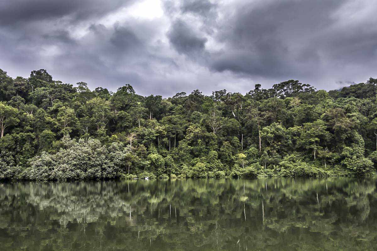
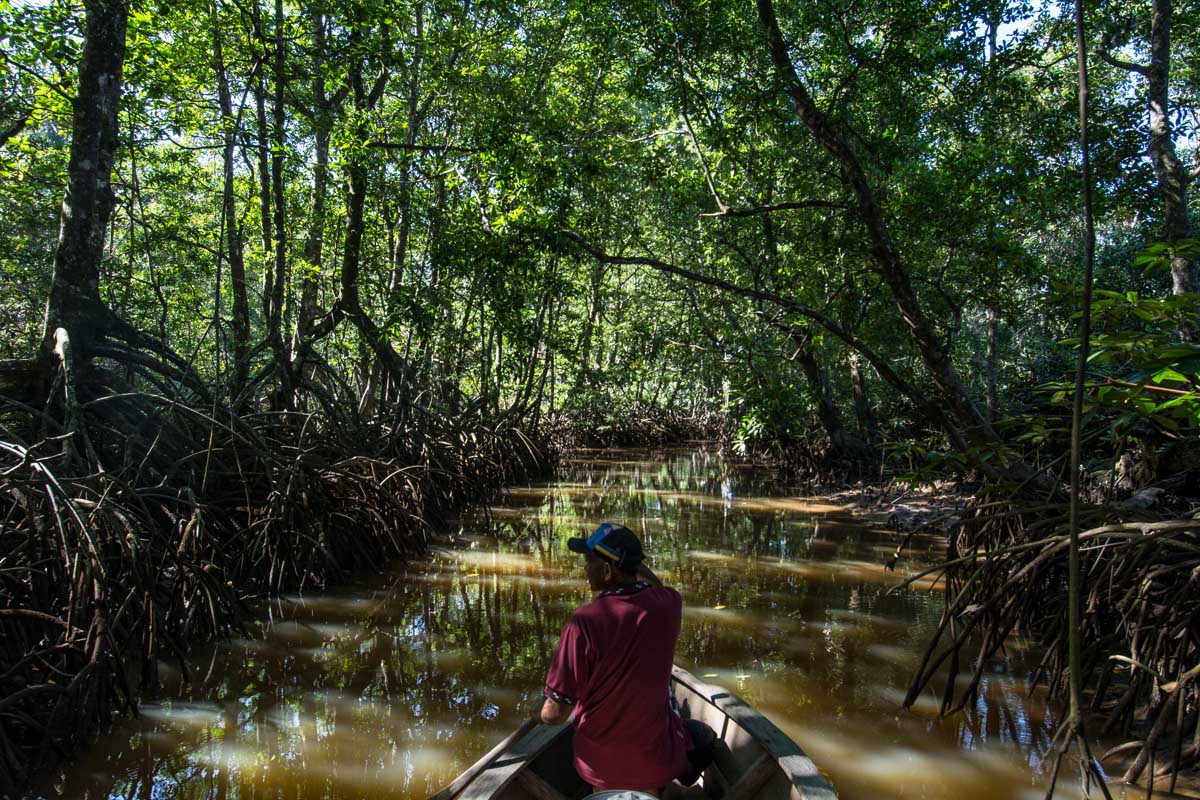
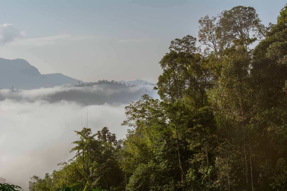
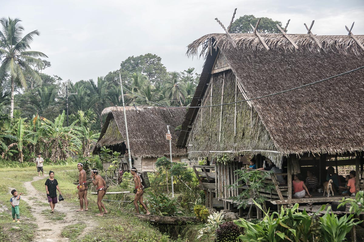
In 2016, UNESCO flagged up concerns about road construction in the area, particularly in Kerinci Seblat National Park, a protected area extending for 350 kilometers (217 miles) from northwest to southeast along the rugged spine of the Bukit Barisan Mountains.

In the years since, it’s been some good news and some bad news for Kerinci Seblat National Park.

Canceled Roads

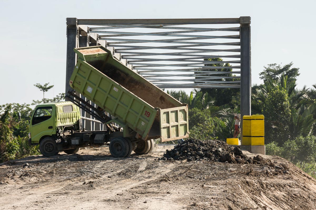
In 2016, UNESCO identified 12 planned or proposed road projects in four zones of the park. Now, park officials say, the list of road expansion projects of concern has been whittled down to five. And of those, four are cancelled. The only project currently set to go forward is the improvement of an existing road, which runs from Sandaran Agung mountain across to Tapan near the West coast.

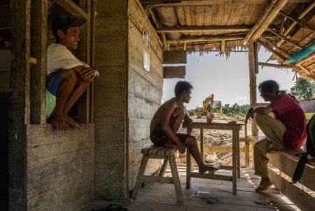
According to Hadinata Karyadi, a spokesman for Kerinci Seblat National Park in Sungai Penuh, the town encircled by the park, the local office of the forestry ministry had formally recommended to the minister that the four now-cancelled projects be denied approval. For example, Karyadi says his office urged the ministry to refuse approval for a proposed road through the village of Lempur because it threatened critical tiger habitat. Those rejections were duly issued over a two-year period, with the last project being denied a permit in 2018.

The road-improvement project that was approved presents fewer environmental concerns, Karyadi says, because it involves upgrading an already existing road rather than building a new one. The current road is steep, winding and currently in such bad condition that even public minibuses will not use it, Karyadi says. Once improved, though, he says the road will be sufficient to serve as an evacuation route in case of natural disasters — one of the frequent justifications for proposing new road projects in the park. “Improving the existing road is better than building a new one,” he says. “If it is good, it will be enough for evacuation needs for now.”

Some concerns do remain, because any increase in traffic on a road through the park could affect the local wildlife. In late 2018, Fauna & Flora International (FFI), an NGO working closely with the national park management, planned an “intensive biodiversity survey” to “assess impacts of upgrading a road running through the national park and make recommendations to government.”

For now, the most hazardous road proposals seem to be off the table, though FFI notes that “local political elites” continue to push for the revival of the cancelled projects. But the park and its ecosystems remain under serious threat due to population growth, agriculture and industry.

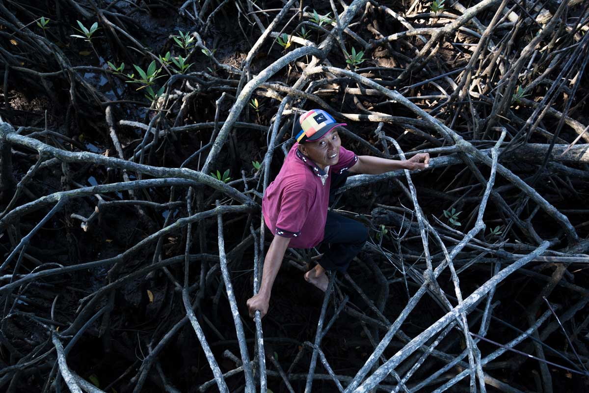
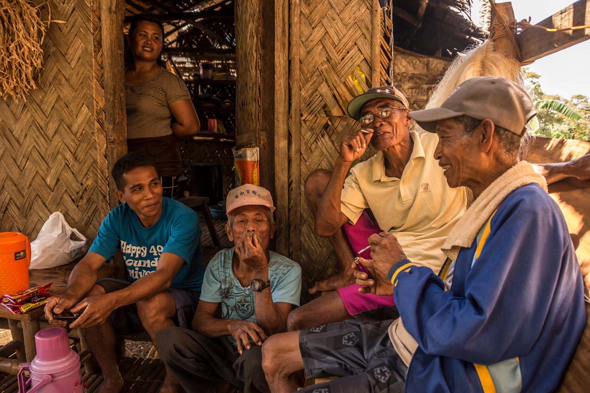
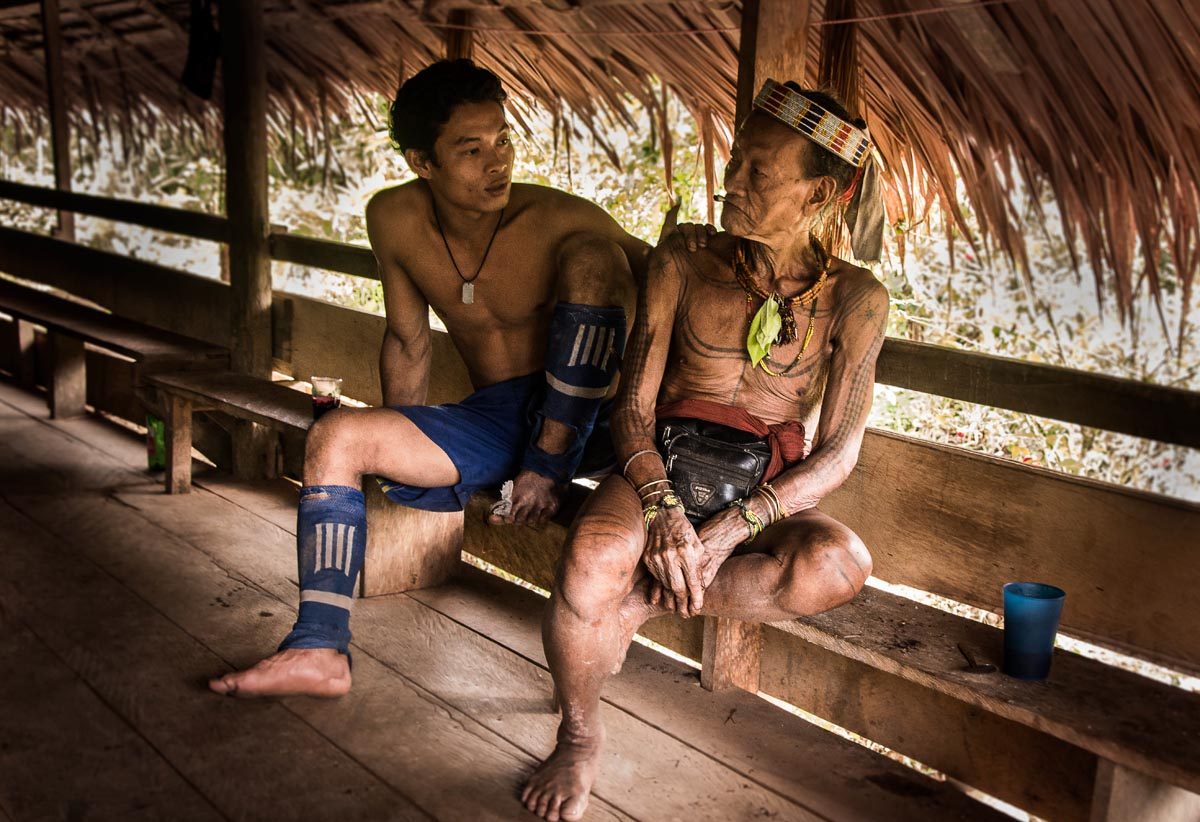
“Encroachment on the national park is the main problem,” Karyadi says. He adds that the current staff of around 70 rangers isn’t enough to police the huge perimeter and that his office has requested a larger budget.

A rejected road

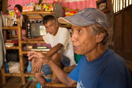
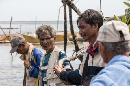
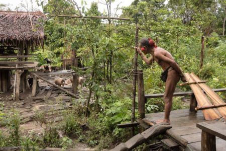
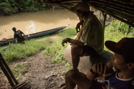
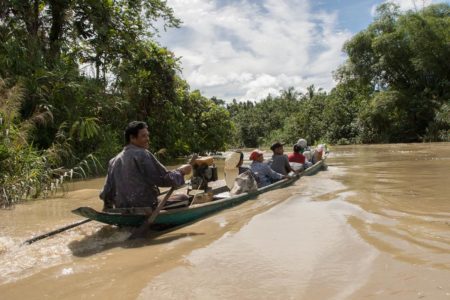
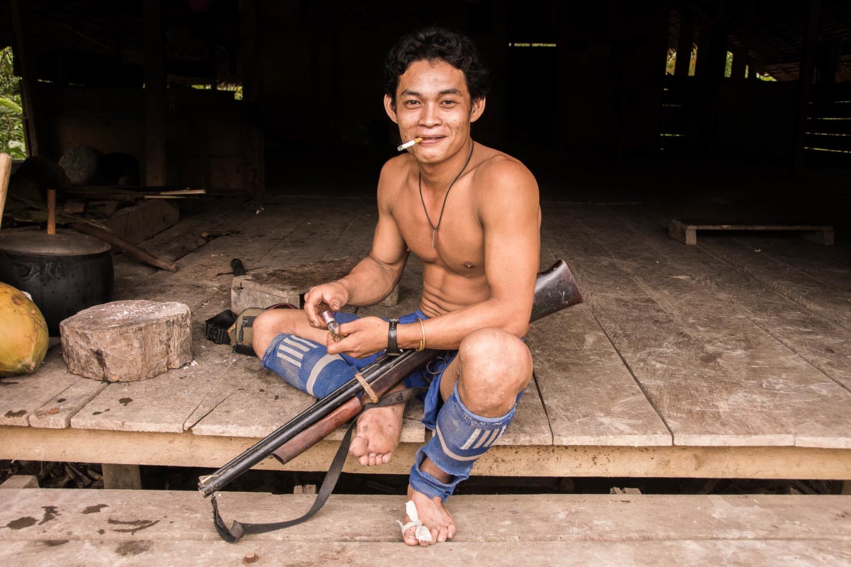
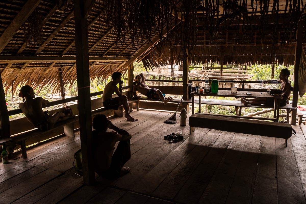
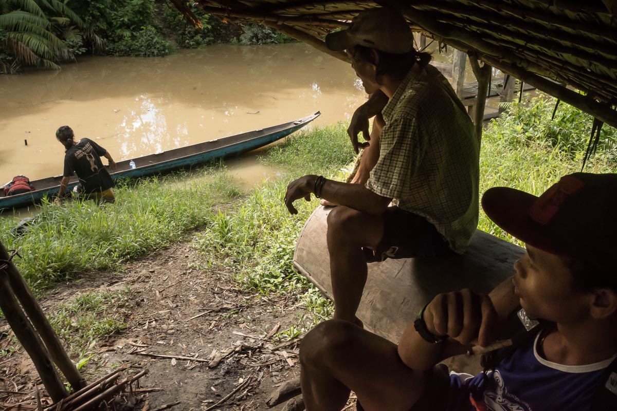
One of the most controversial projects was the proposed new road in the south of the park, through Lempur. At present a trail runs from Lempur, through the village rice fields and continues as a wide rocky walking trail that winds through the forest. According to locals, it’s been there ever since anyone can remember. These days it’s used mainly to get to local tourist sites such as Kaco Lake and for trekking to the national park.

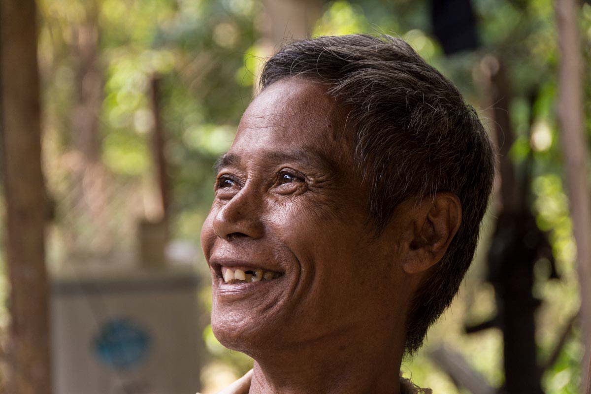
“My team made a full report and gave it to the ranger,” says trekking guide Andi Tiasanoawa in Lempur, explaining his response to the road proposal. “We don’t want people cutting the trees,” he says, adding that he makes his living from the forest and doesn’t want it damaged.

Guide Zacky Zaid, who has been trekking these hills regularly for 10 years, says a past road project in the area made people aware of the potential downsides such developments can bring. Zaid says that around five years ago the government agreed to build an access road to the village of Renah Kemumu inside the park boundary. “This route was one of the popular five-day treks that we did,” Zaid says. But once the road was built, the wildlife that the tourists came to see dwindled. “Lots of people cut the trees when the government built the road,” he says. “The nature is not really good anymore. There are no big trees anymore. For us I’m so sad. We closed trip there a couple of years ago.”

Ultimately, the Lempur road was rejected “because it threatened the tiger core area,” Karyadi says.

Fertile farming

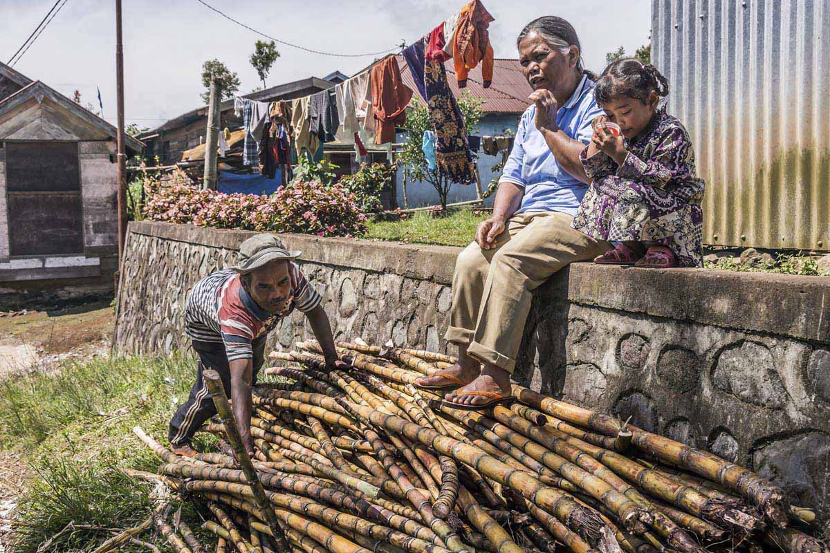
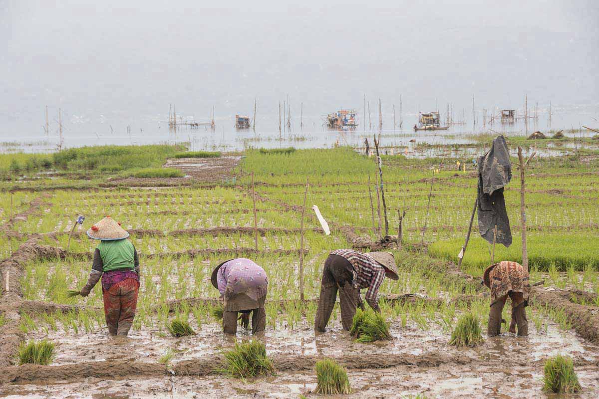
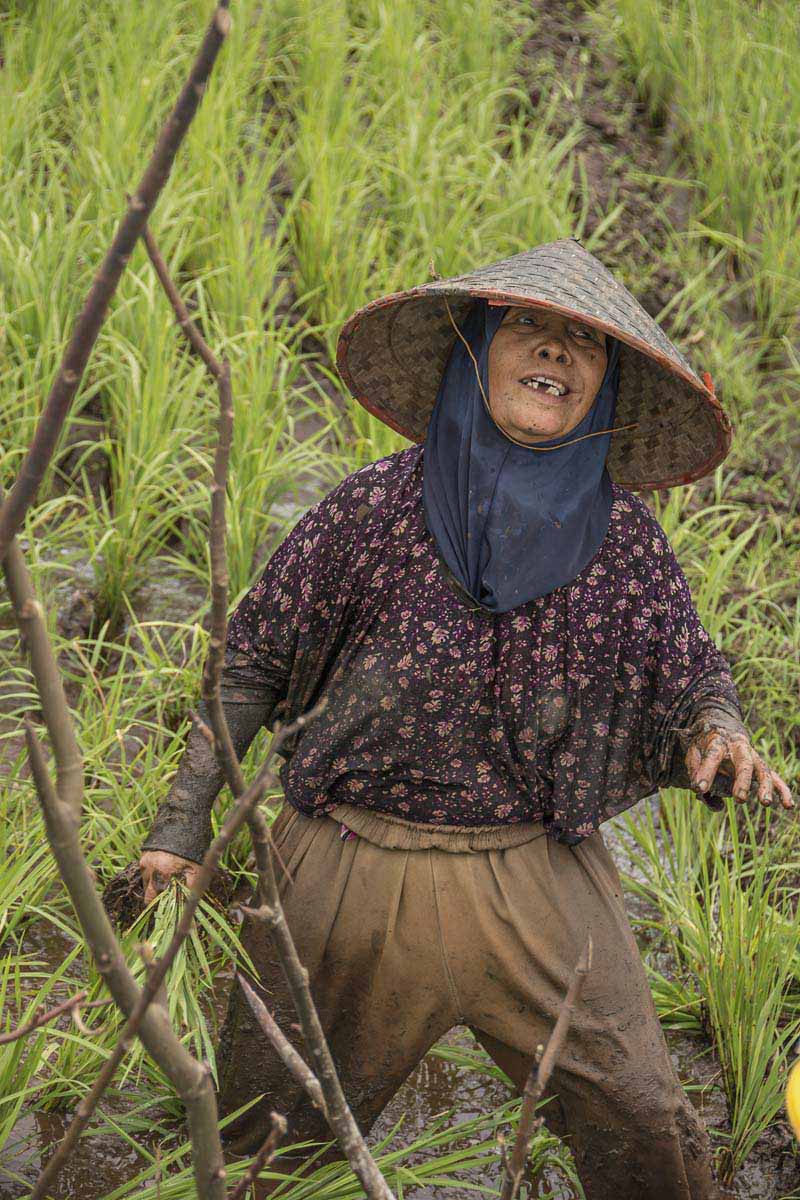
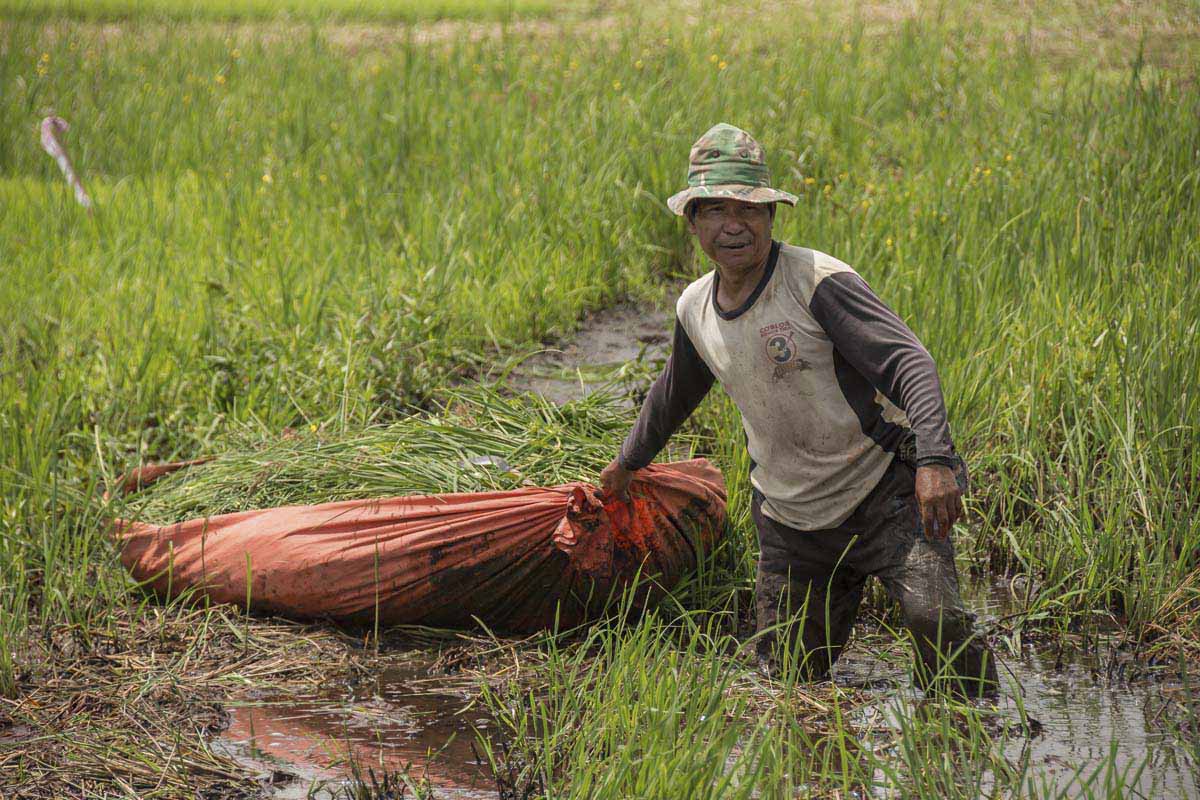
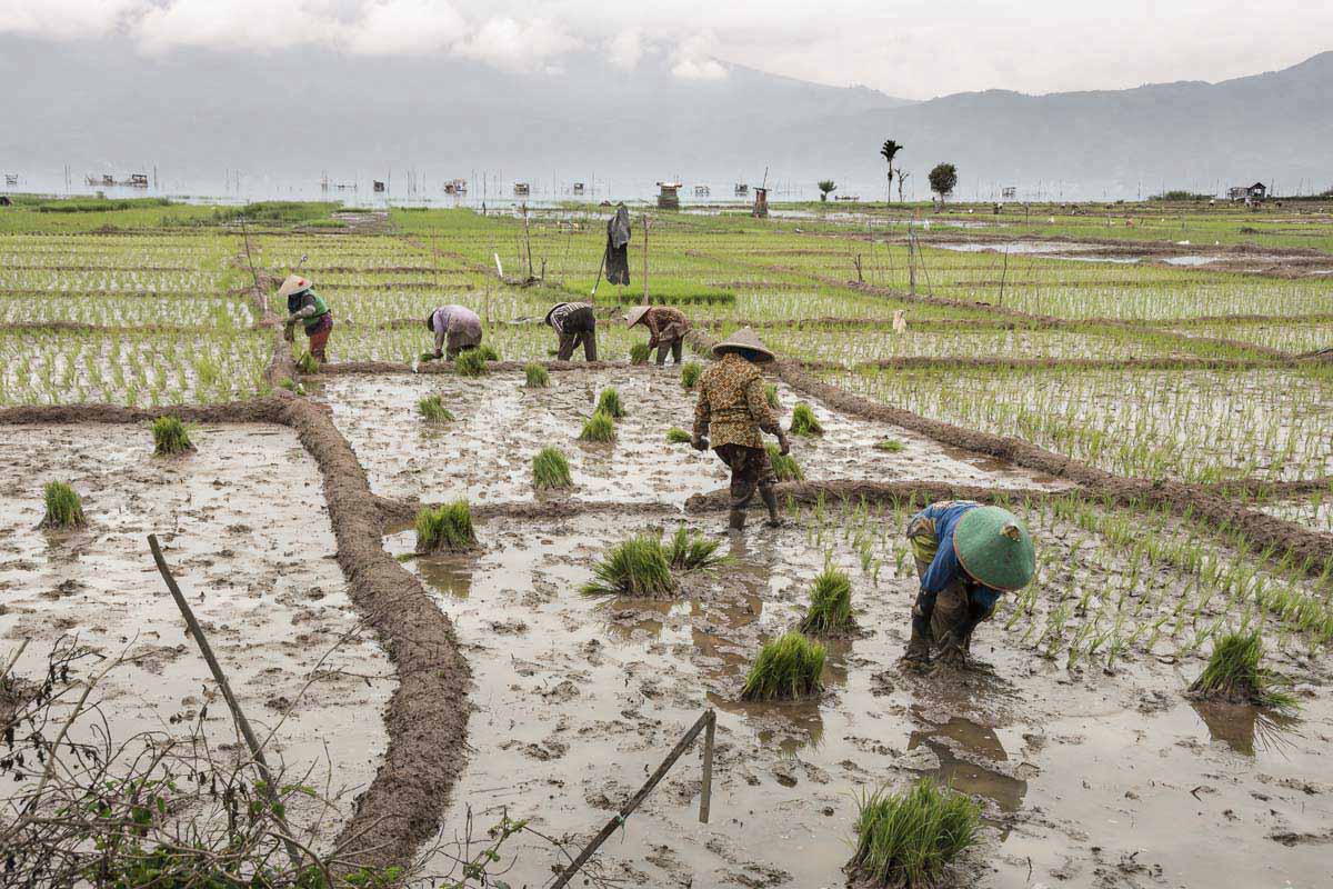
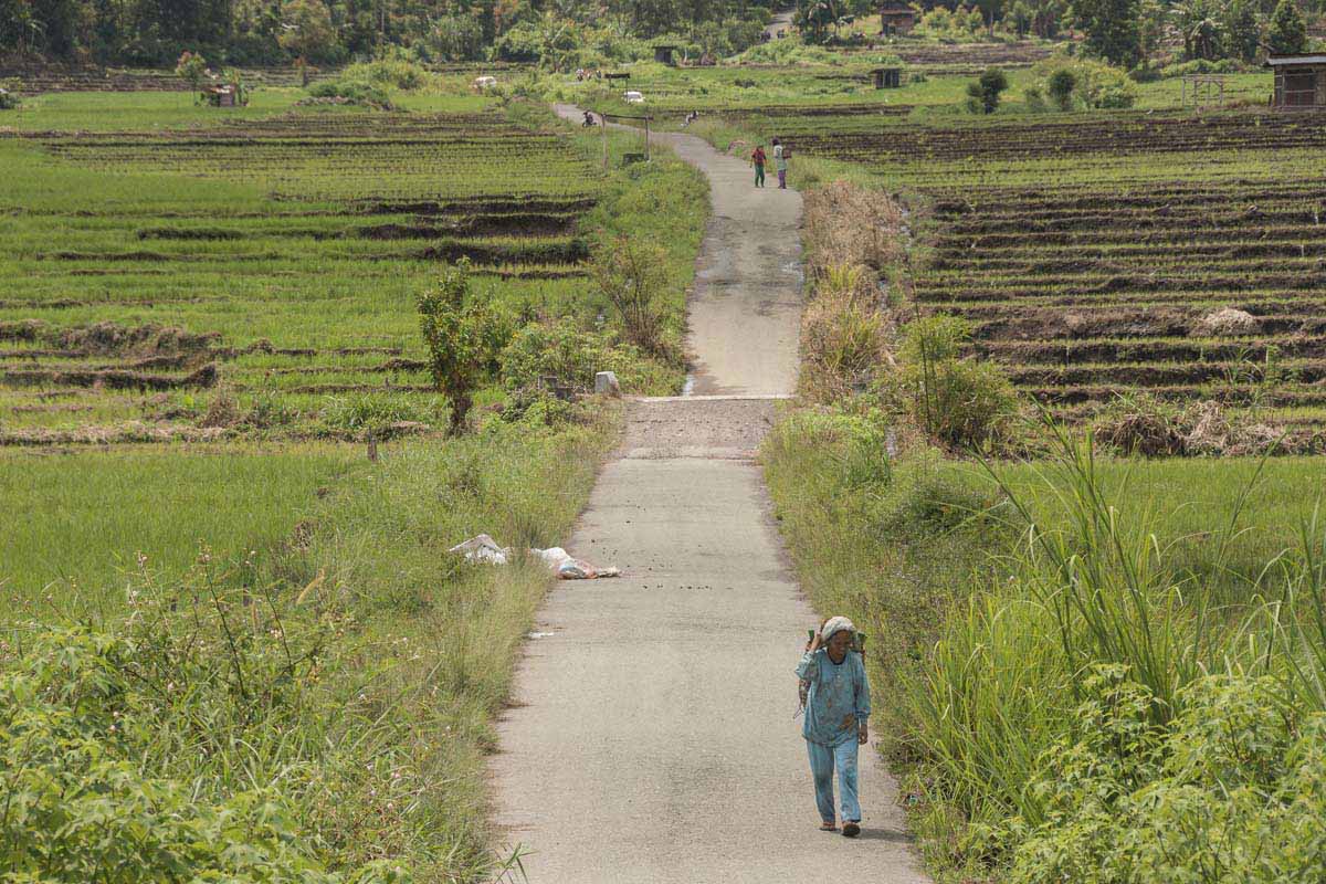
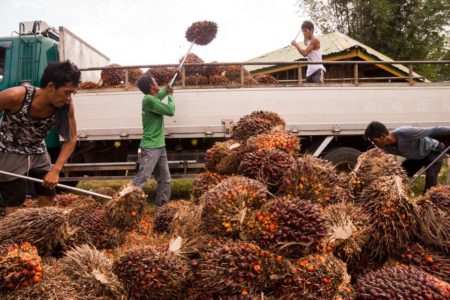
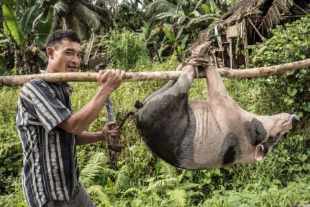
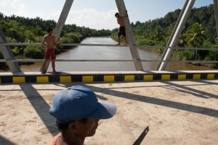
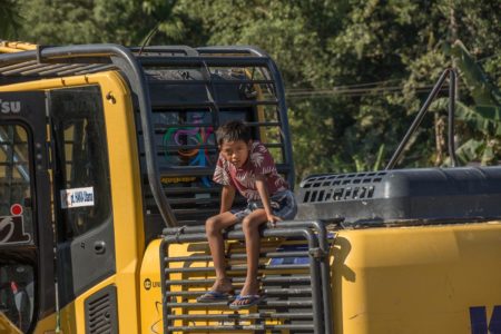
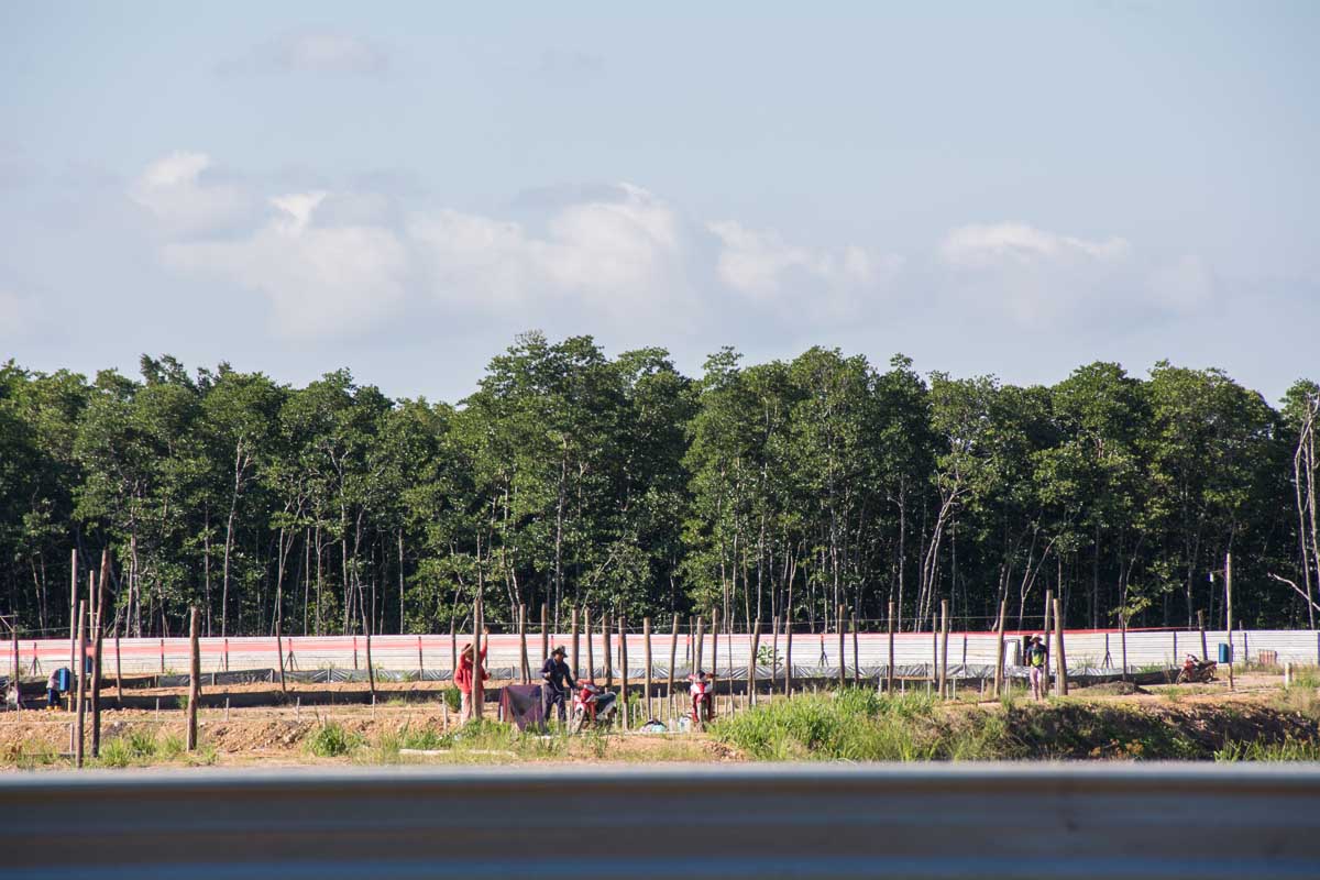
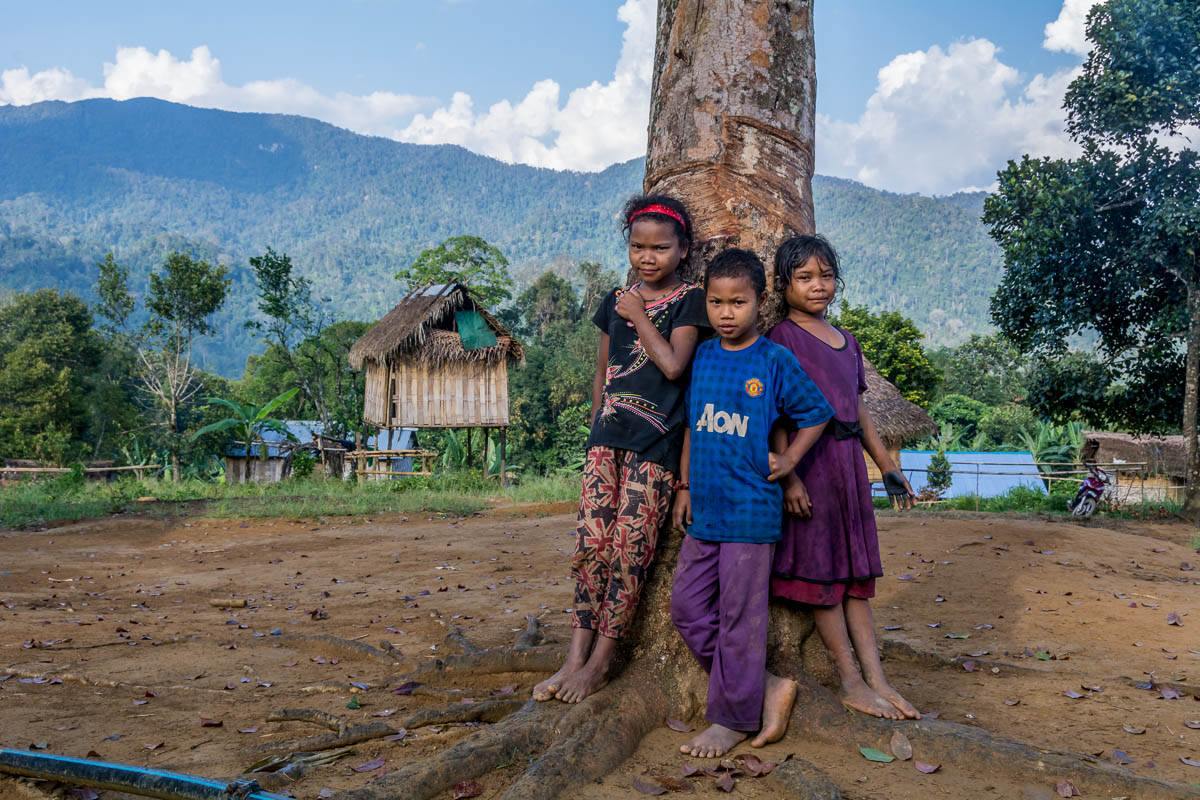
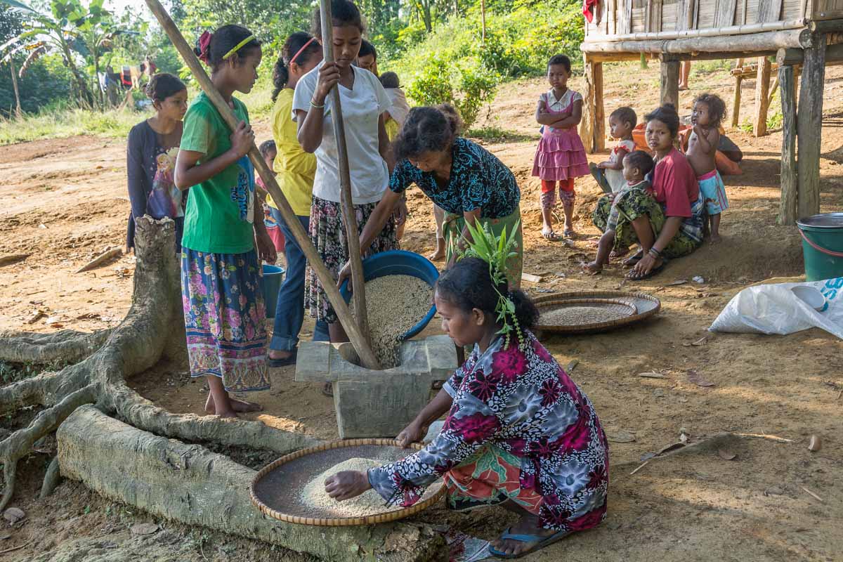
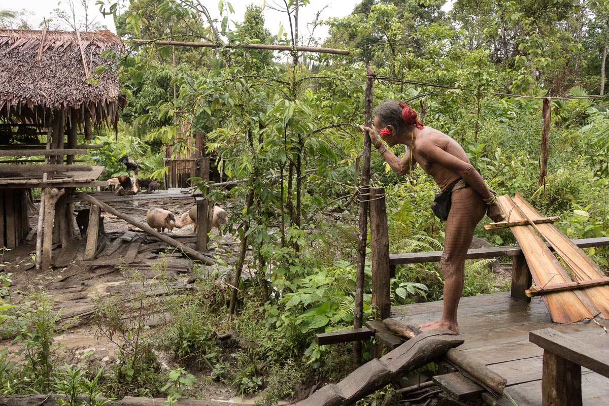
At 3,805 meters (12,483 feet) above sea level, Mount Kerinci is the tallest volcano in Indonesia, and dominates the landscape here. The alluvial sediment deposited by past eruptions provides the valley with mineral-rich soil that draws farmers. Steep hills that ring the valley create the boundary to the national park beyond. Migration into the valley has led to pressure on the park as farmers encroach on the hills.

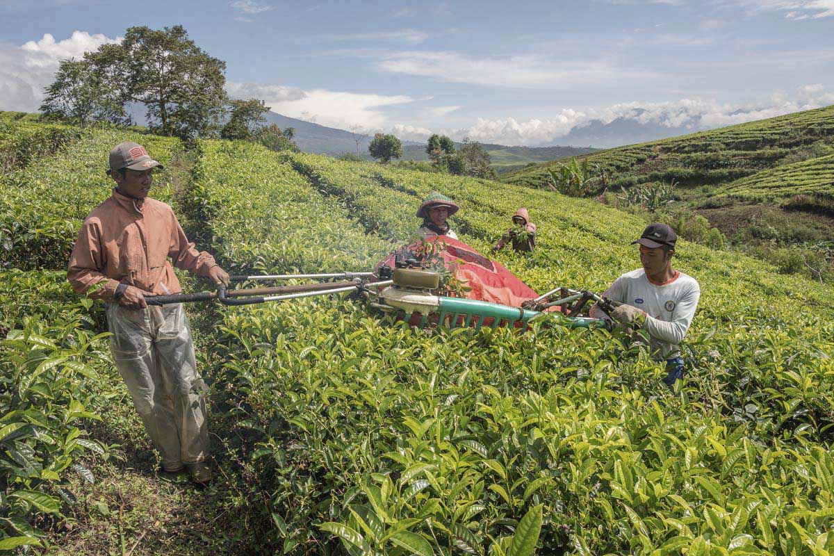
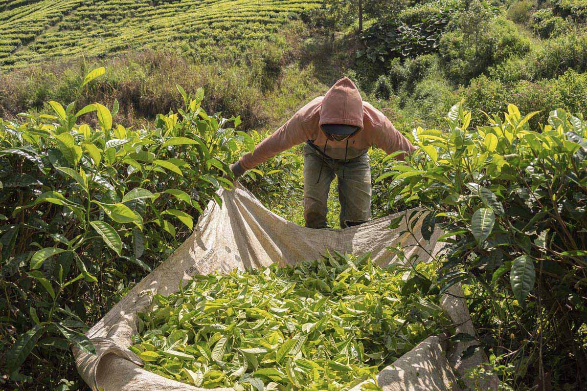
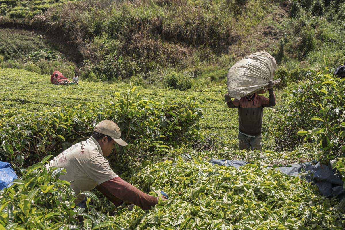
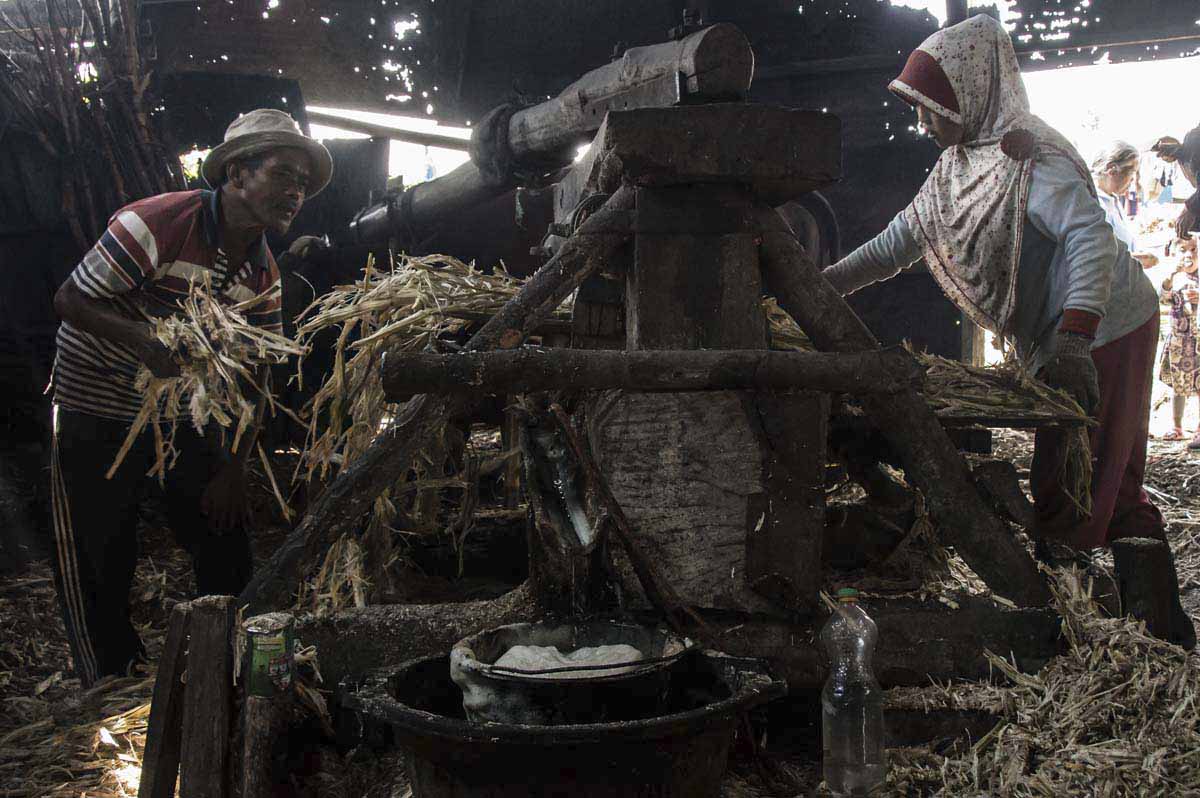
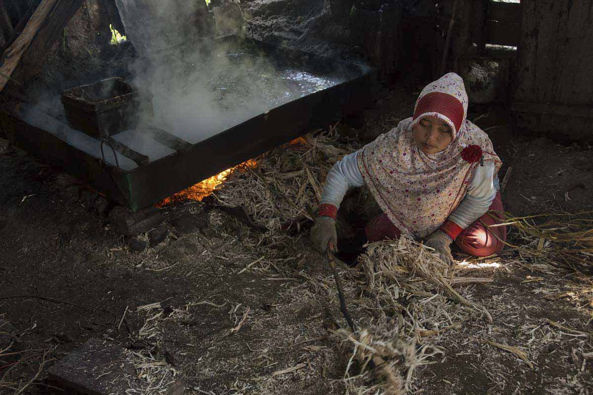
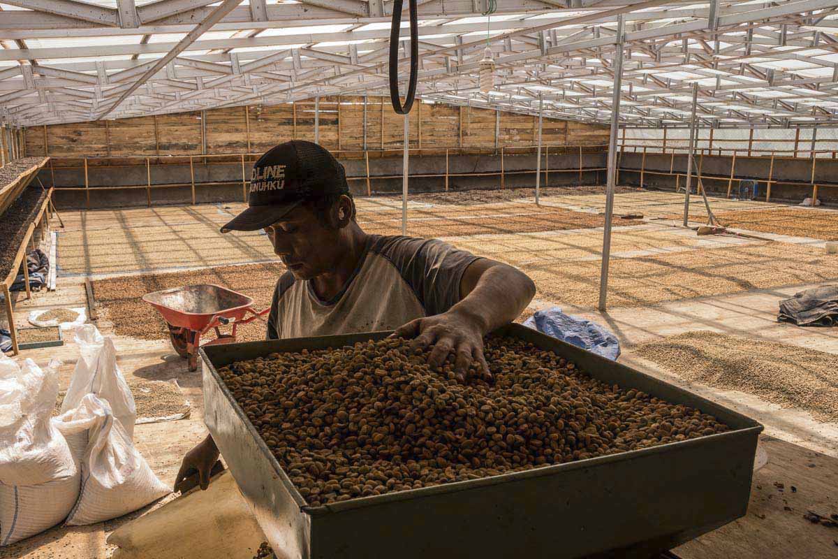
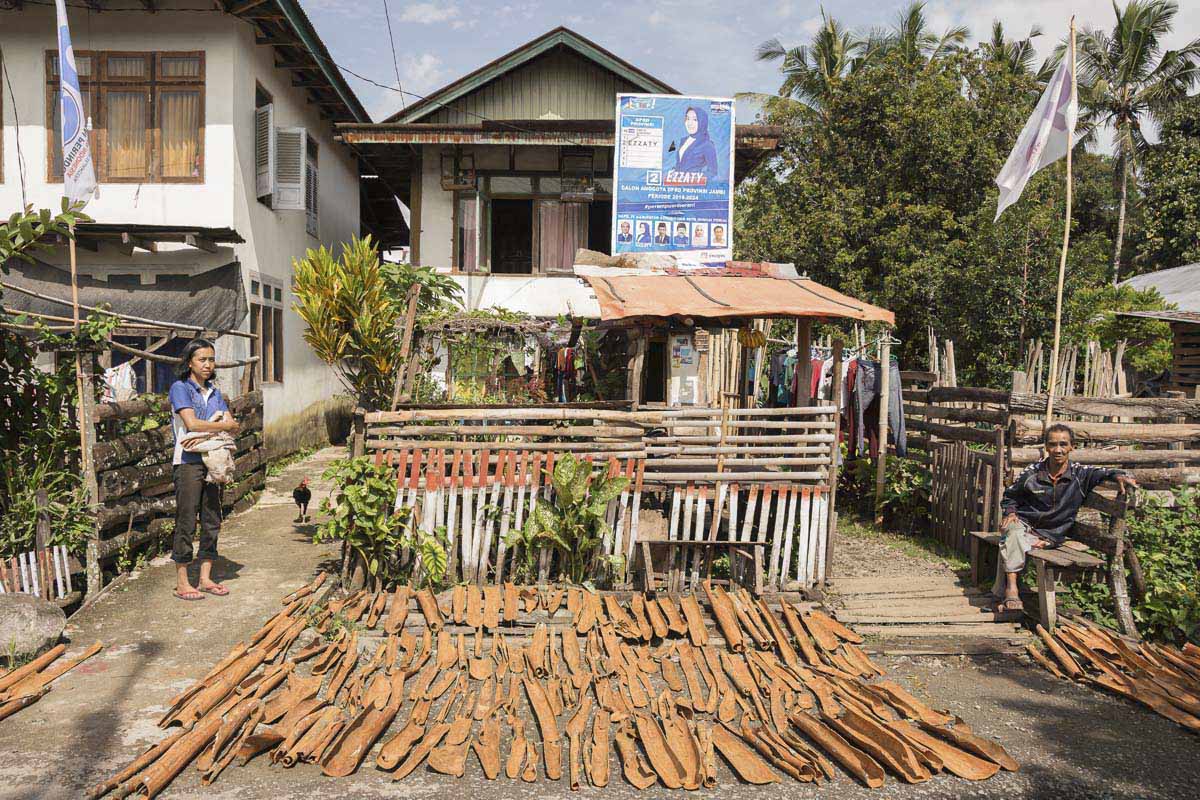
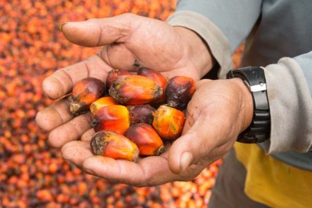
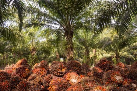
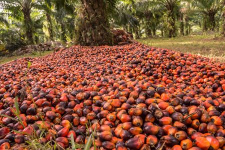
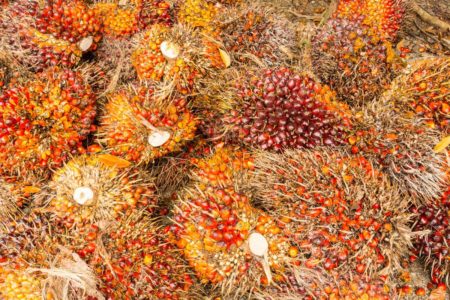
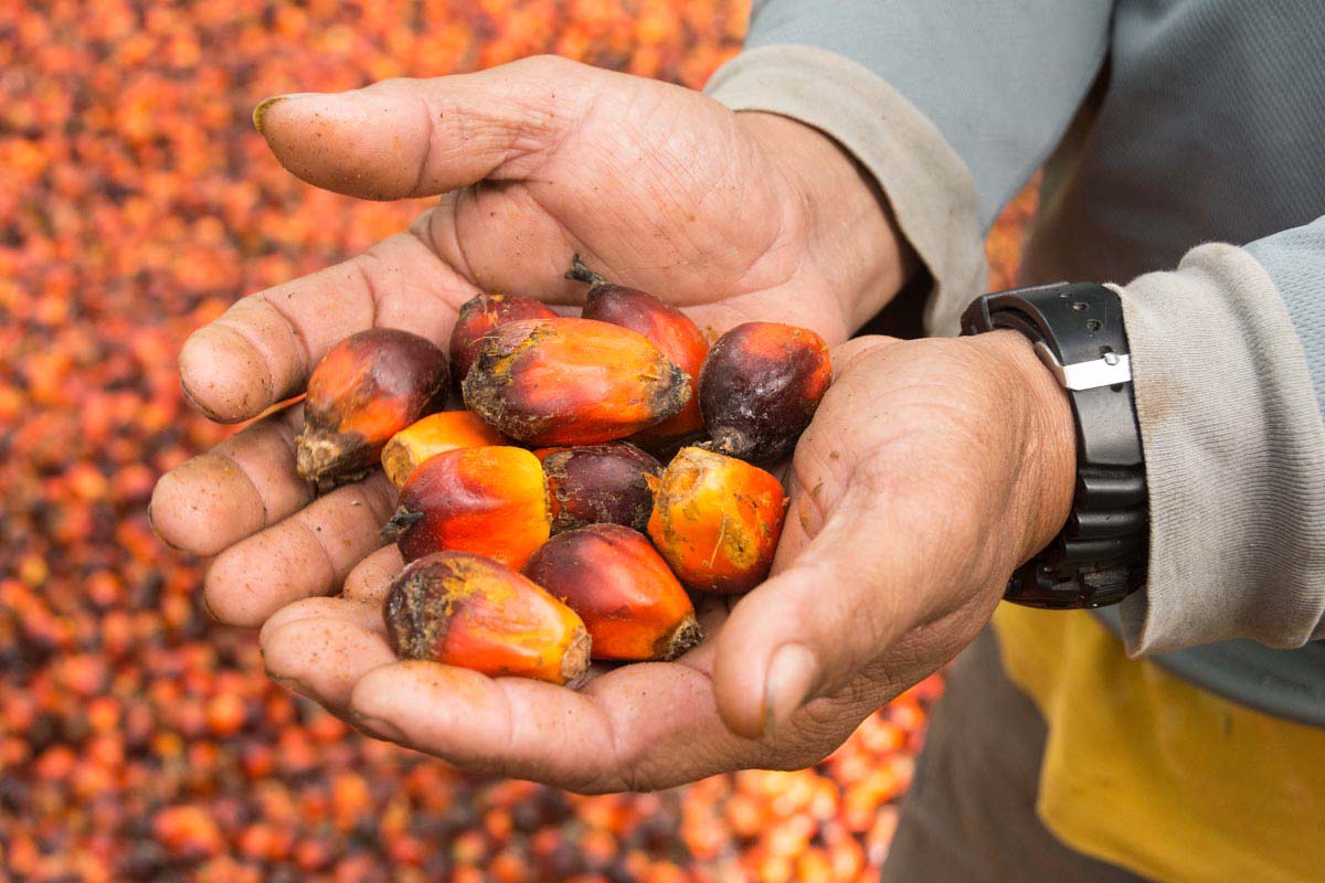
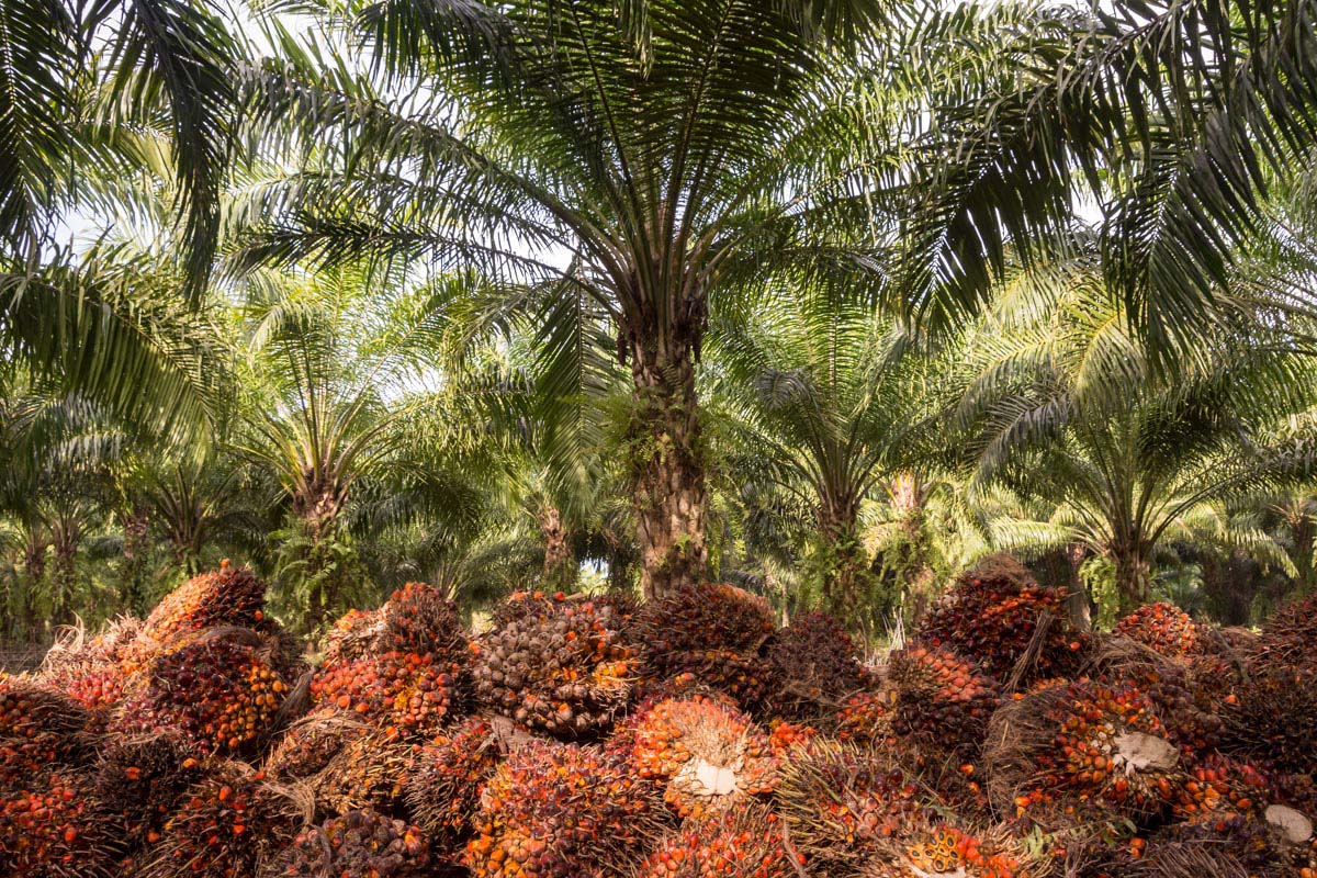
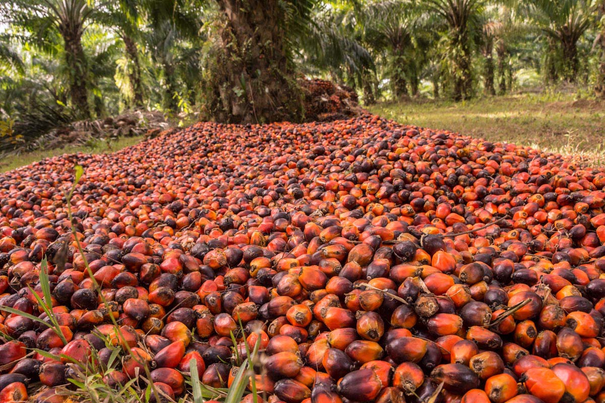
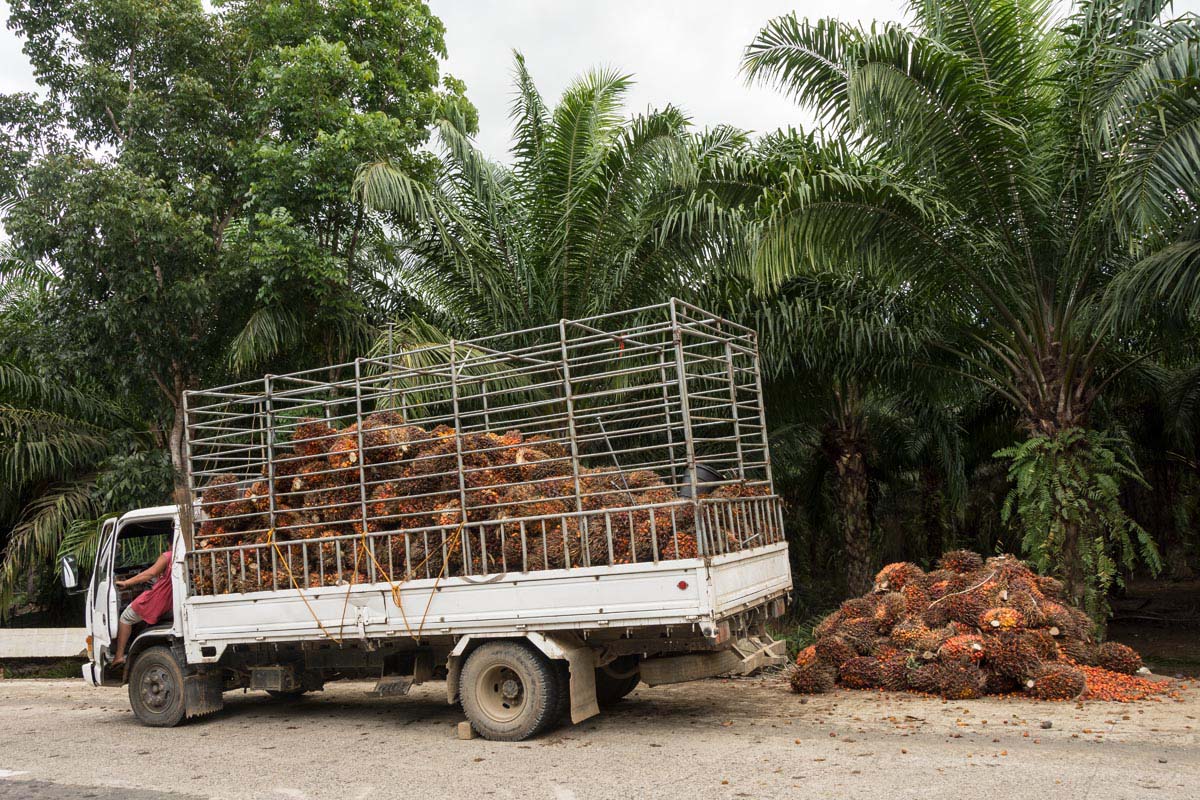
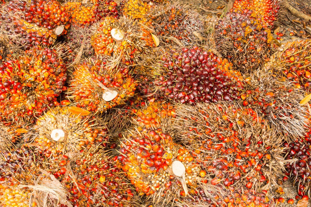
A huge 10,000-hectare (24,700-acre) tea plantation stretches across the valley floor; in between, farmer’s plots host a variety of everything from potatoes to tomatoes and coffee.

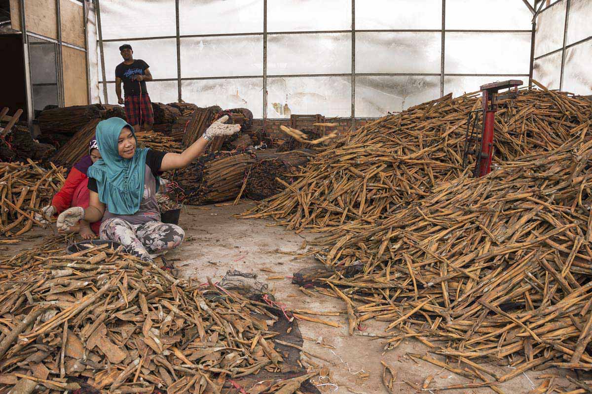
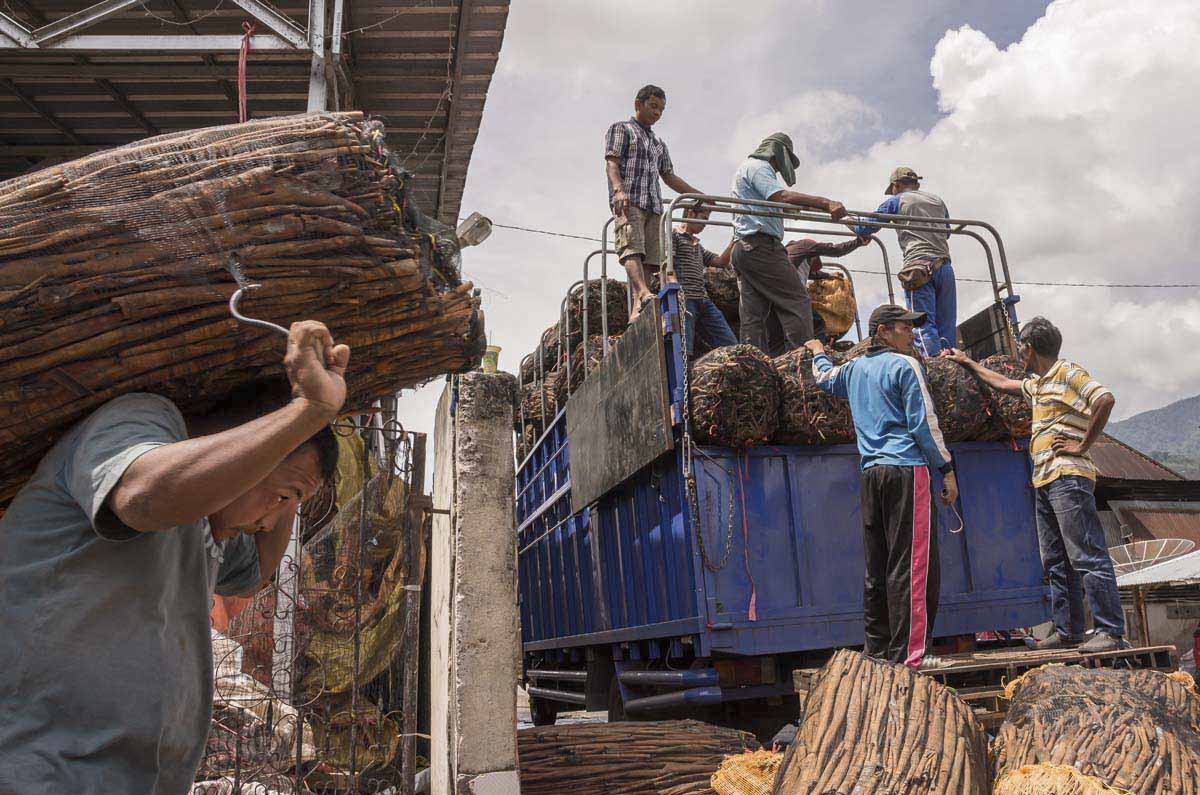
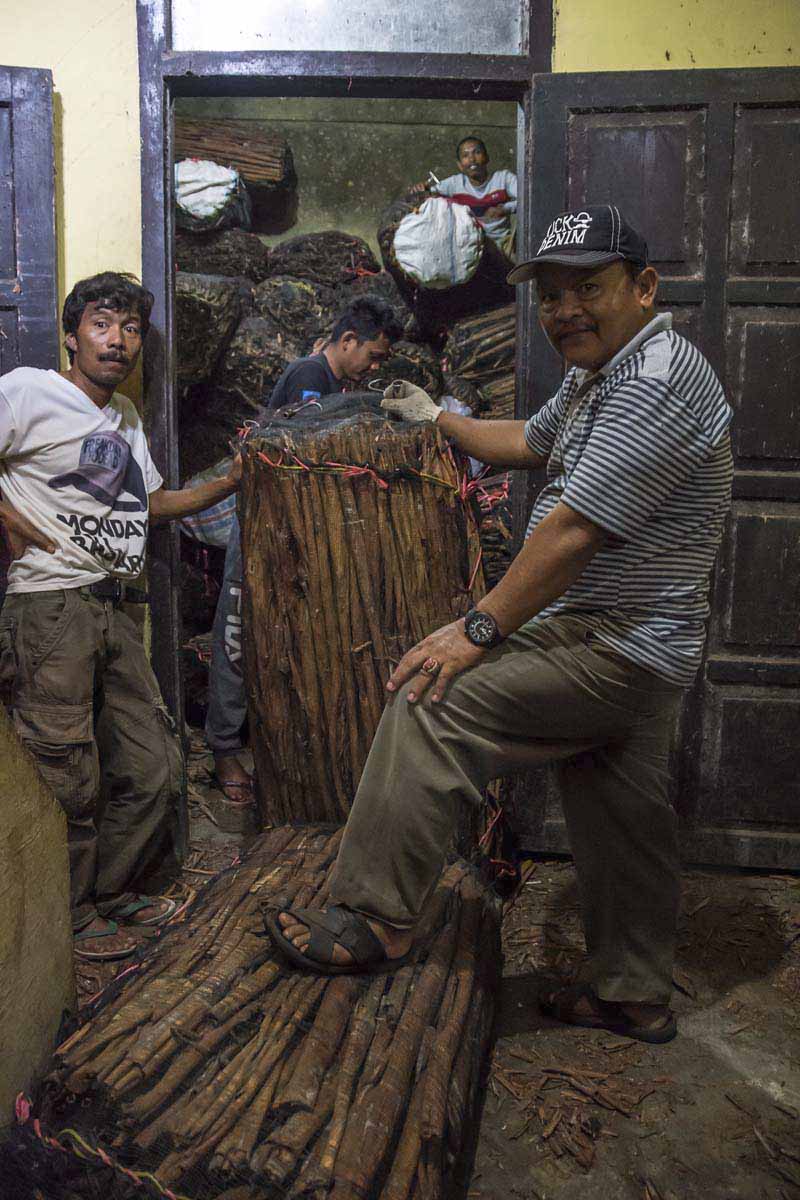
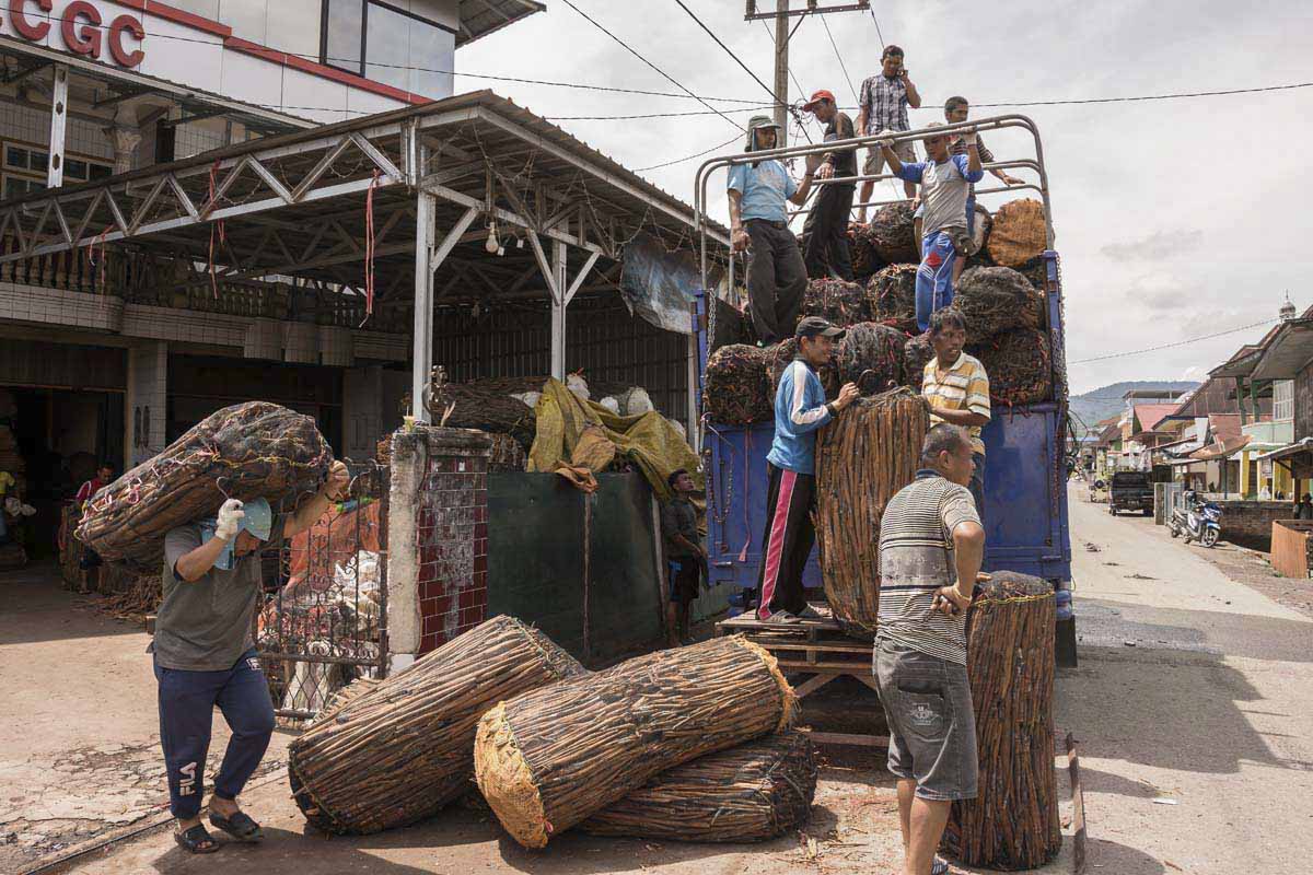
As the elevation rises and the valley floor gives way to the steep mountain slopes, the crops change to cinnamon, rubber, coffee and cloves. These tree crops give the slopes a forested appearance, but close up the hills are cultivated and densely populated with farming communities.

“The cinnamon boom is a particular problem” driving encroachment, says Karyadi. Others see it as a benign and sustainable traditional practice that also has economic benefits for poor farmers.

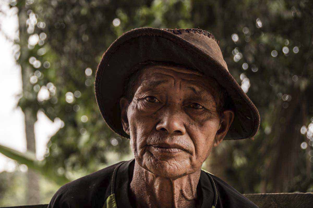
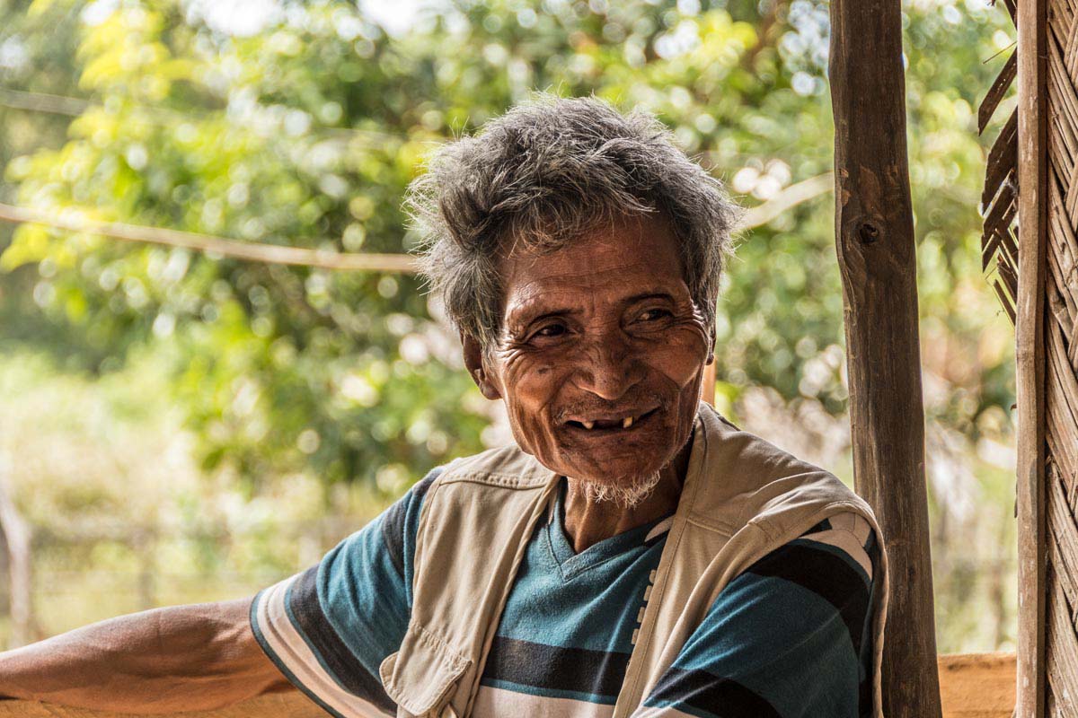
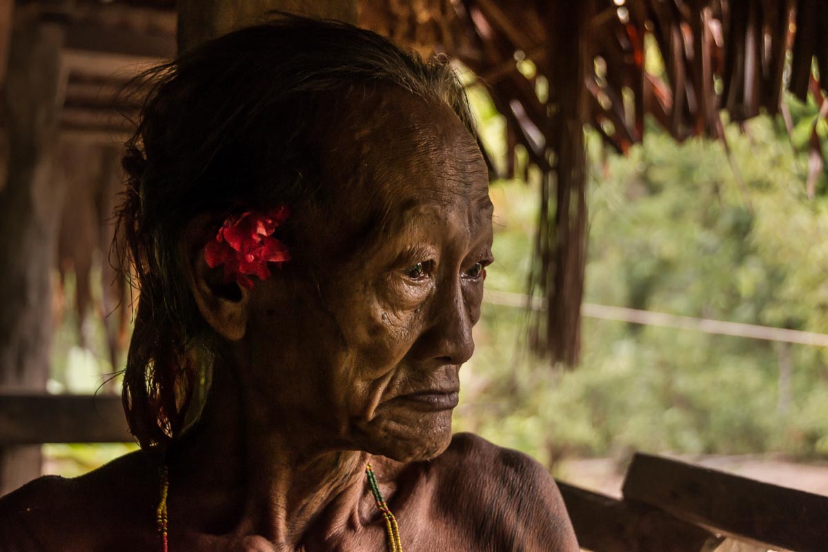
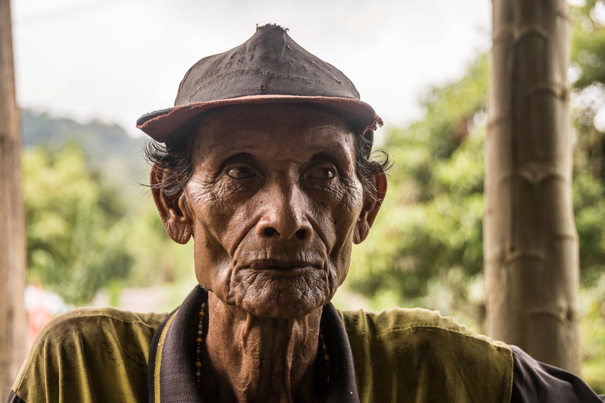
In the farming village of Talang Kemulun at the foot of the hills that form the valley’s southern perimeter, Eibru Hajar says he mainly grows cinnamon and coffee on his own land. “I have around a hundred cinnamon trees and cut them in a rotation cycle of 15 years,” he says. “I get around 50 kilos [110 pounds] per tree.

“The rangers come by every couple of months,” Hajar adds. “So I’m afraid of cutting the trees [inside the park boundary]. The penalty for cutting forest trees is a big fine and if you don’t have money you get several months in prison.”

But the threat of penalties doesn’t deter everybody, and NGOs like FFI report that land continues to be cleared within the borders of the park.

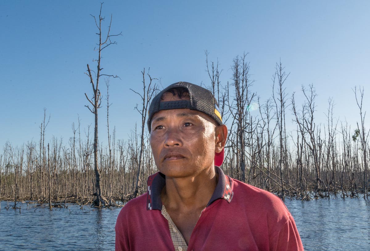
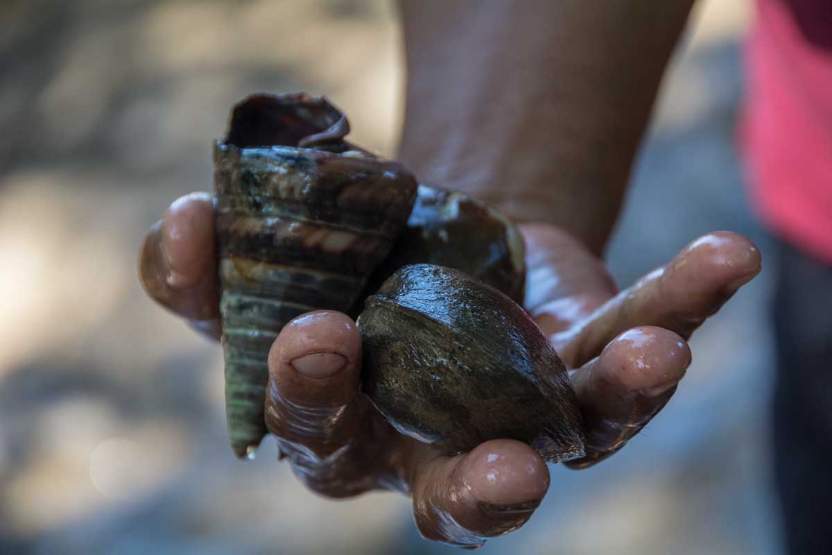
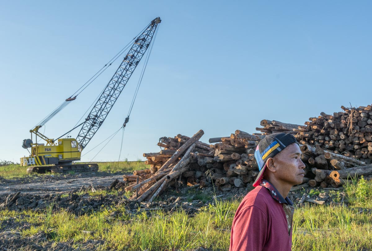
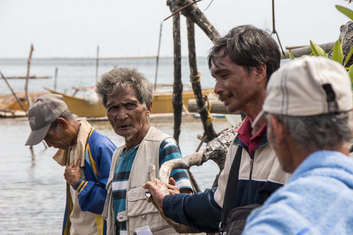
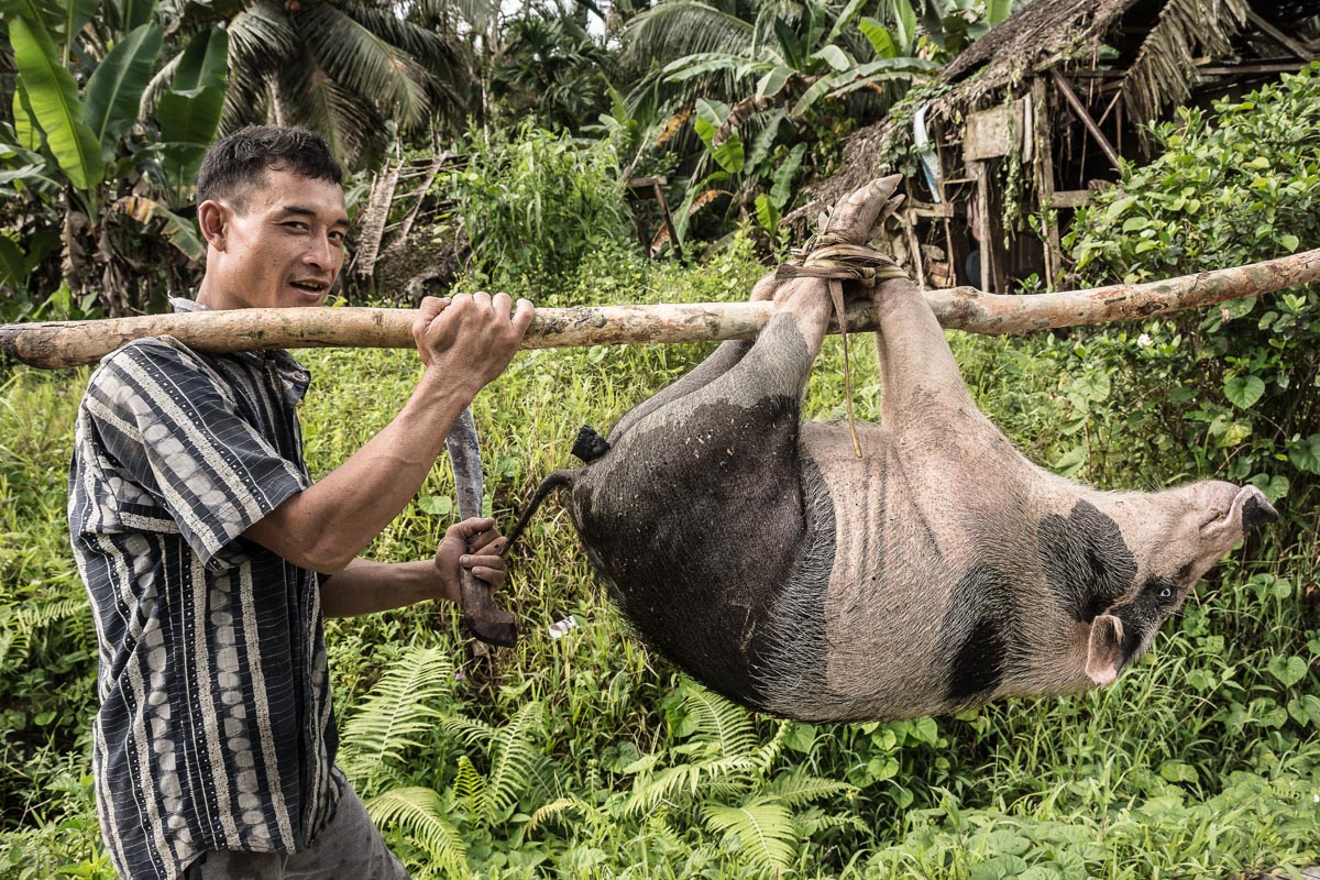
Illegal mining is another threat. In a 2018 report, FFI said it found alluvial gold mining sites in and around the park’s borders, “posing serious threat to a key tiger corridor with a dirt road constructed which entered the edge of the national park.” Despite the central government’s commitment to protecting the park, local political pressure on the park remains high. In 2017, it spilled into open conflict when gold miners held a municipal government official hostage, according to FFI.

FFI also tracks illegal logging and poaching of pangolins, tigers and other wildlife. It notes that law enforcement efforts since 2016 did seem to have an impact on reducing the poaching, but that these efforts remain a challenge.

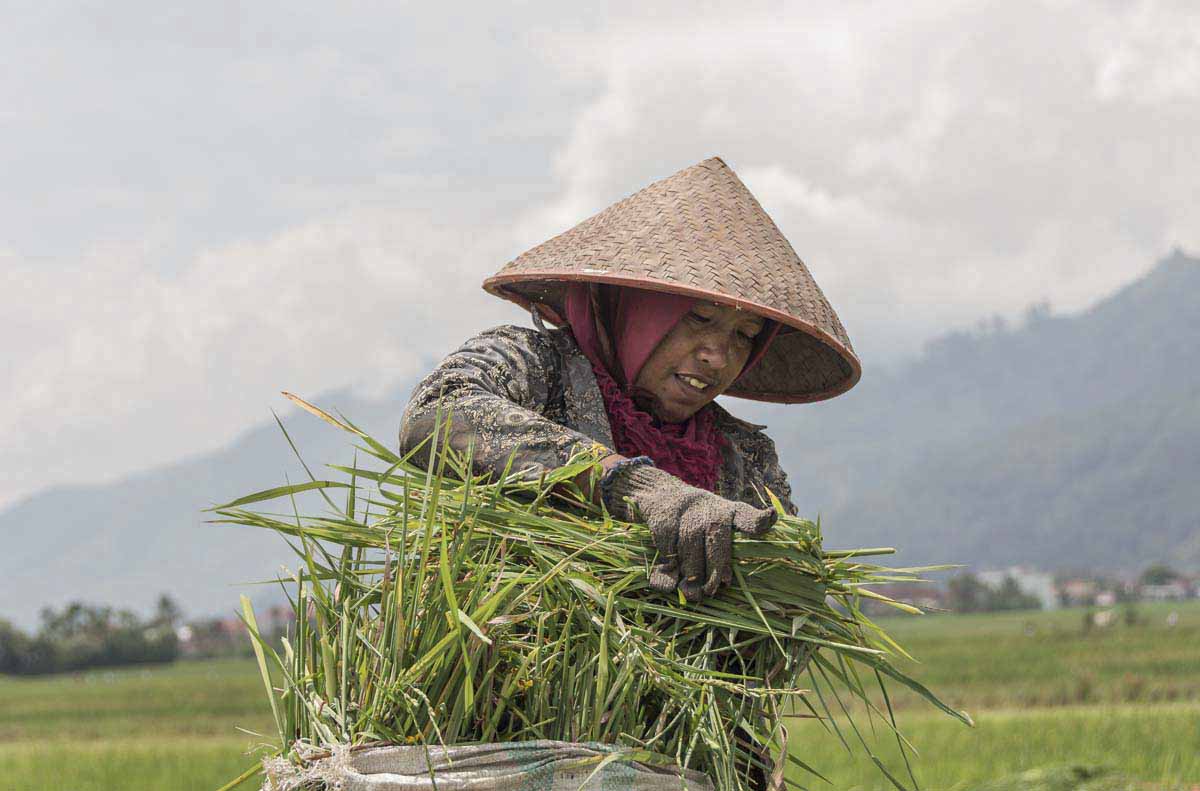
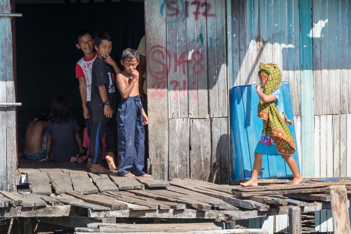
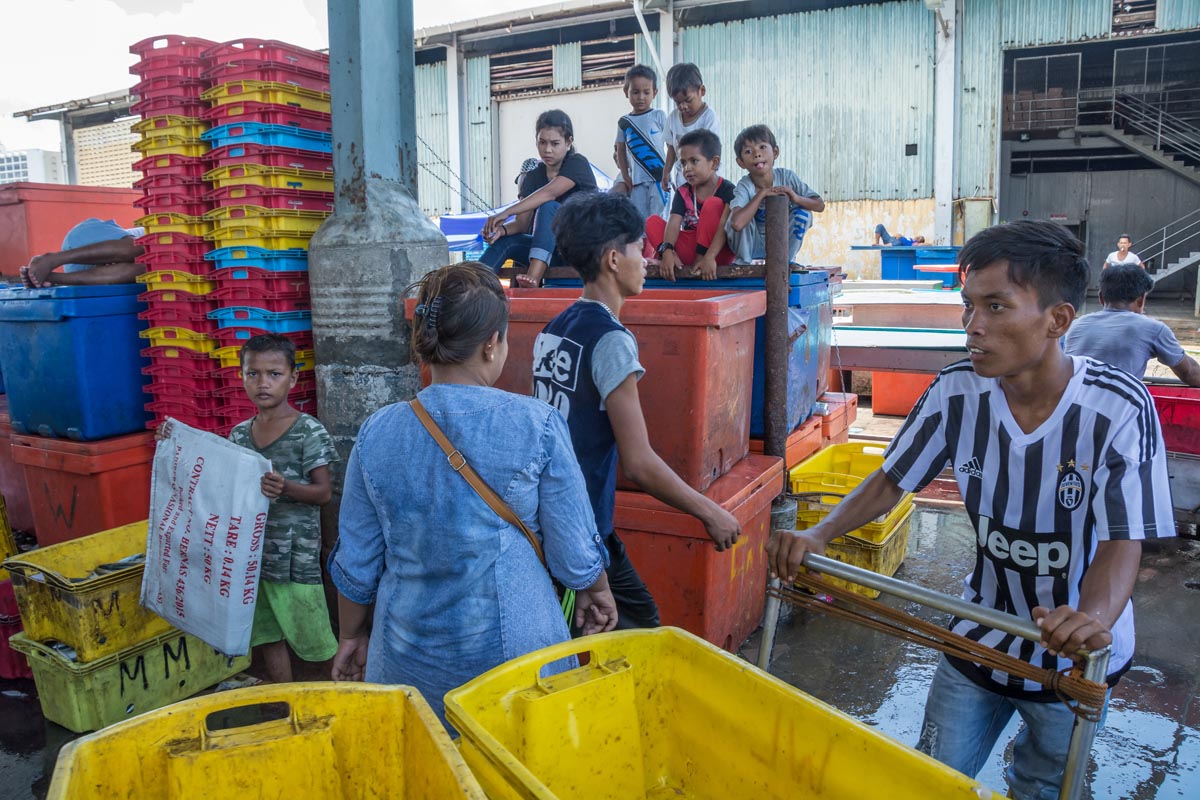
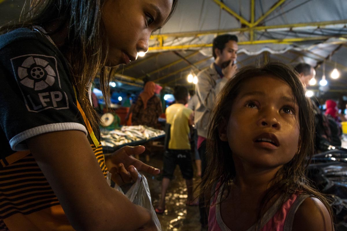
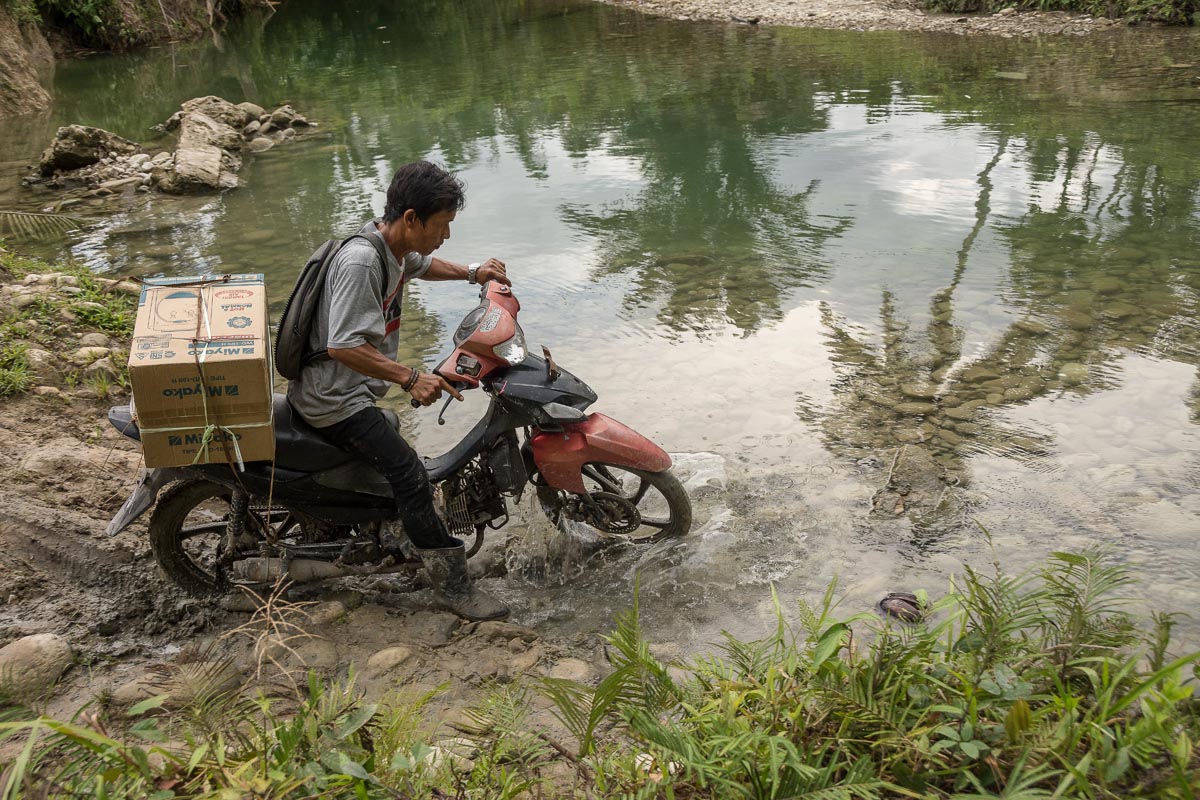
With agribusiness and extractive industries hungry for new land, the pressure on Sumatra’s forests is relentless. Kerinci Seblat is no exception, and migrant farmers have swelled the local population, placing further pressure on the national park.

Last year the park management set up a Role Model Program, to try and stem escalating encroachment, especially by migrant farmers who frequently claim that the park’s boundaries are unclear.

“The park boundary is well demarcated with concrete markers about one meter [3 feet] tall,” Karyadi says. “In some places locals have dug up the marker posts.”

The scheme aims to restore encroached forest and establish alternative livelihoods. Along the way are manifold obstacles, not least gaining the participation and cooperation of sometimes reluctant farmers.

“This week we caught some illegal loggers and handed them to the police. They will be judged by the law,” Karyadi says. His office is trying to navigate a tricky path between encouraging farmers to change their practices through incentives (some get financial rewards under the Role Model scheme), and punishing offenders who have clearly broken national park rules.

For now, encroachment by farmers is ongoing, but local political attempts to accelerate this by opening up new areas through road-building have been limited. Meanwhile, political tensions remain between politicians seeking more infrastructure building and the forestry ministry, which works with the support of international NGOs to maintain the integrity of the national park and its borders.

This article was first published by mongabay.com

On a Philippine island, indigenous groups take the fight to big palm oil

Palm oil tramples indigenous people's rights.
  • Many Palawan indigenous communities say they have suffered unfair land acquisition or lease arrangements for oil palm plantations. The situation hit a peak around 2007, when palm oil company Agumil Philippines promoted palm oil around the island as a miracle get-rich-quick crop.
  • Many tribal landowners leased or sold parcels of land to Agumil. Those who leased said they were provided loans from the government-run Land Bank of the Philippines, negotiated by Agumil, to clear the land and plant oil palm saplings. Title deeds to the leased land were lodged with the bank as collateral against the loans, where they remain.
  • Today the plantations are producing plentiful bunches of oil palm fruit. Still, landowners say they have yet to see any financial returns on their leased land. The problem all cite is that the loans came with crippling 14 percent annual interest rates, which left the original loan amounts inflating out of control. The terms of the lease contracts also stipulate that ongoing operational and managements costs be subtracted from the loan and harvest income.
  • Now tribal groups are fighting back on multiple fronts. A tribal representative in the municipality of Rizal recently won a mayoral election. The re-elected mayor of neighboring Brooke’s Point has also pledged a halt to more oil palm plantations. Three of the seven municipalities in southern Palawan have now placed limitations on oil palm cultivation.
  • The sandy path from the village of bamboo houses winds down through the coconut palms, which gives way to mangroves growing along the muddy shoreline. The seven elders inspect their fishing boats. Hand-built using timber from their communal forest, the small craft have bamboo outriggers to keep them stable in the open sea.

The Sarong community on the island of Palawan in the Philippines has for generations been living a similar way of life from the forest, cultivated fields, stands of coconut and fishing. But a few years ago, in 2012, their lives were turned upside down when they noticed that their communal forest was being logged and cleared without any consultation, let alone their permission.

“A contractor coming from another barangay [village] was clearing the land,” says Romeo L. Japson, who grew up in the community.

Community members say the company responsible then went on to plant oil palm saplings on 200 hectares (500 acres) of their ancestral land. They add that now, every time they pass by the plantation, they’re reminded of how their community forest was razed. To this day they are bitter that the situation persists and they have no redress.

They are not alone, as many other Palawan indigenous communities have also suffered what they see as unfair land acquisition or lease arrangements for oil palm plantations. The situation hit a peak around 2007, when palm oil company Agumil Philippines promoted palm oil around the island as a miracle get-rich-quick crop. Twenty-five percent Filipino- and 75 percent Malaysian-owned, Agumil is a subsidiary of Agusan Plantations (API) and operates the only palm oil processing plant on Palawan.

Now tribal groups are fighting back on multiple fronts. A tribal representative in the municipality of Rizal recently won a mayoral election. The re-elected mayor of neighboring Brooke’s Point has also pledged a halt to more oil palm plantations. Three of the seven municipalities in southern Palawan have now placed limitations on oil palm cultivation.

Meanwhile, a growing number of communities are responding to threats to their ancestral domains by pursuing legal recognition of their community land and water resources. Two communities celebrated success in 2018, and at least 12 more claims are in process.

Tribal land appropriation

Many tribal landowners leased or sold parcels of land to Agumil. Those who leased said they were provided loans from the government-run Land Bank of the Philippines, negotiated by Agumil, to clear the land and plant oil palm saplings. Title deeds to the leased land were lodged with the bank as collateral against the loans, where they remain.

“Until now I am riding only in my thongs,” said Mily Saya, landowner and member of the village cooperative in the barangay of Aramaywan. He explains how early company promises of a car and stone house failed to materialize. He says he “has no idea how to get back the land title” for his 4.7 hectares (11.6 acres) from the Land Bank.

“I don’t know how big the loan is from the Land Bank,” he says, explaining how the company planted oil palm seedlings on 1 hectare (2.5 acres) of his land but abandoned the rest with no explanation.

In time, the saplings matured and today the plantations are producing plentiful bunches of oil palm fruit. Still, members of the landowner cooperatives say they have yet to see any financial returns on their leased land. The problem all cite is that the loans came with crippling 14 percent annual interest rates, which left the original loan amounts inflating out of control. The terms of the lease contracts also stipulate that ongoing operational and managements costs be subtracted from the loan and harvest income.

“You will become a rich man,” Larry Arcuyo says he and other landowners were promised, “before entering into contracts” with Agumil. Arcuyo chairs the Aramaywan farmers’ cooperative, one of 14 such growers’ cooperatives on the island. He says Aramaywan has 26 members who have leased land to Agumil. “There are rich men in Palawan — rich of debt,” he says. “We are praying that someone helps us to resolve that problem.

“From the start almost 11 years [ago], the landowners have never seen any money even through the harvesting started eight years ago … Some landowners already died in the meantime,” Arcuyo says. He adds that the price per kilo of palm fruit set by Agumil “is already very low.” Even then, he says, this payment never reaches the farmers who have leased their land to the company; instead, “it is given to the Land Bank for settling the debt,” including for preparation of the land and the initial seedlings. “All decisions regarding finances are controlled by the company,” Arcuyo says.

According to the Coalition against Land Grabbing (CALG), a local indigenous organization campaigning for indigenous people’s rights, 9,000 hectares (22,200 acres) in Palawan have been cleared for oil palm plantations, and the government is inviting foreign investors to develop more. Agumil spokesman Eric Ang told Mongabay, “We intend to expand our business in the oil palm industry but for now we are consolidating in Palawan.”

CALG says that if rules and regulations had been implemented properly, Agumil would never have been able to develop its plantations in the first place. It claims the Philippines’ Indigenous Peoples’ Rights Act (IPRA Law) has been ignored, and that the Palawan Council for Sustainable Development (PCSD) has failed to implement its Strategic Environmental Plan as required under a 1992 act. The group also says that environmental compliance certificates should never have been issued to palm oil companies by the Department of Environment and Natural Resources. The department did not respond to an email request to comment from Mongabay.

Arbitration between tribes and company

The Palawan Palm Oil Industry Development Council (PPOIDC), a multi-stakeholder industry body, is seeking a solution to the ongoing disagreements. However, four meetings “resulted in deadlock,” according to the minutes of the most recent meeting, held last November, and an agreement has still not been reached.

According to lease agreements obtained by Mongabay, Agumil offered a land rental rate of 17,000 pesos ($333) per hectare for a 10-year period, amounting to 1,000 to 2,000 pesos ($20 to $40) per hectare per year to each landowner. In addition, it offered 200 pesos ($4) per ton for harvested palm fruit.

The price of processed palm oil has been dropping in recent months, and on May 31 stood at $563 per metric ton, the sixth-lowest monthly valuation in the past five years.

It was noted at the PPOIDC meeting that the estimated tonnage of palm oil per hectare was well below that promised to farmers by Agumil at the project initiation. In contrast, the palm oil cooperatives demanded a signing bonus of 20,000 pesos ($400), production sharing of 400 pesos ($8) per metric ton, and land lease rental of 10,000 pesos ($200) per hectare per year.

The meeting recommended that Agumil reconsider its offer to the cooperatives and if still no agreement could be reached, the committee should “render a report to the committee on Cooperatives, House of Representatives, and recommend/request Congress to provide legal assistance to the Palm Oil Cooperatives for the filing of appropriate case, a class suit against Agumil.”

It also recommended that the “Top management of the Landbank of the Philippines conduct a thorough investigation on the various accounts of the Oil Palm Cooperatives and possibly cooperate with the Oil Palm Cooperatives in filing appropriate legal charges against Agumil.”

Back in 2015, only one co-op had already repaid its loan and four were up-to-date with payments and on course for full repayment by 2023. Seven, however, needed loan restructuring and two had defaulted on their repayments. Restructuring in previous meetings had involved interest rate reductions from 14 percent to 7 percent, and the management fee charged by Agumil reduced from 10 percent to between 2.5 and 5 percent.

Summing up, board member B.M. Rama said that, “with what had happened to this industry, somebody must be [held] responsible and liable to this problem and that this case should be brought to the proper forum which is the court.”

Asked by Mongabay whether Agumil would be improving terms to co-ops in future, Ang said: “There is no change in the terms and conditions of the Lease Agreement entered between the Coops and the Company.” He maintained that the coops are still liable for a start-up 20 percent equity advance, a matter hotly disputed in the meeting. “We are agreeable to an independent audit of the 20 percent equity advance,” Ang said, adding that none of the co-ops had yet initiated the auditing process.

The idea that the capital debt of the co-ops be assumed by another entity was recommended by a study commissioned by the government’s Cooperative Development Authority. Ang says this “was explored by the Land Bank of Philippines (LBP) and Agumil.” Such a restructuring scheme has yet to be implemented, and according to Ang, would entail a new company assuming the capital debt and a further loan from the Land Bank along with a “processing agreement with Agumil.”

Moratoria stop palm oil plantations

These days, the tribes are getting organized and pursuing ways to seek justice for their lost earnings. Mobilizing to stem the spread of oil palm plantations in Palawan, groups such as CALG have networked with Palawan’s tribal groups to explain the risks of leasing their land. According to CALG chairman Kemil Motalib, the lessons have been learned and nobody is leasing land to Agumil any longer, though some are selling plots in areas where cultivation is still permitted.

There’s another cause for celebration among Palawan’s indigenous communities: the planting of oil palm has been banned in two other provinces in the Philippines, a trend others may follow in the coming months.

“No to expansion of palm oil planting in Rizal for five years,” says Motalib, explaining the substance of the moratorium declared by the Rizal municipal government in October 2018. Motalib, who is from the Tagbanwa tribe, said that a year of painstaking lobbying that included frequent meetings with government officials by CALG members and local indigenous people had finally paid off: “After one year the moratorium was signed by the Municipal Mayor of Rizal,” he says. “Agumil cannot question it because that is ordinance. That is the law made by the municipal government.”

This sense of victory was reinforced by the election of Rizal’s first indigenous mayor. Otol Odi, a member of the Palaw’an tribe, was won the May 13 election, polling nearly twice his nearest rival. Odi, now in his seventies, attracted widespread support among Rizal’s population of 50,000 with his platform of defending the area’s natural resources from big business.

The municipality of Quezon was the first in the Philippines to declare a moratorium on oil palm cultivation, back in 2014. After recent victories, CALG is now pressing for similar moves in the municipalities of Española and Bataraza. When asked by Mongabay whether Agumil would respect the moratoria, Ang said, “We will abide by any rules and regulations imposed by the Government.”

A further challenge to palm oil companies came from the May 16 re-election of Mary Jean Feliciano as mayor of Brooke’s Point. Despite Agumil being headquartered at Maasin near Brooke’s Point, where its processing plant is located, and using the town’s port facilities for exporting palm oil, Mayor Feliciano has pledged no new oil palm plantations in her region. (She says the two existing plantations can stay for now.) When asked what impact this would have on Agumil’s business, Ang said the company was “not aware of Mayor Feliciano’s pledge.”

Recognizing ancestral domain land

In an August 2018 ceremony, ancestral domain titles were awarded to the Tagbanwa tribes in the barangays of Berong and Aramaywan. In all, the titles awarded by the National Commission on Indigenous People (NCIP) covered 31,000 hectares (76,600 acres) of territory, comprising 23,000 hectares (56,800 acres) of land and 8,000 hectares (19,800 acres) of ancestral waters.

“The forest land is inside the ancestral domain because the forest provides many things, such as honey, rattan, and almaciga [Agathis philippinensis] tree resin,” says Sarong resident Romeo Japson. “They are hunting grounds and provide clean water to drink. There are also natural medicines in the forest that can prevent and cure many illnesses.”

After an application has been filed, it is assessed by the NCIP at the national office in Manila. Here the order is issued for a survey of the area to determine parcel size and boundaries.

“Ancestral domain land is the common land of the indigenous peoples. So the indigenous people are claiming their land, no limits to the thousands of hectares that they claimed. They can own that but only communally, not in the name of one person,” Japson says. He adds that marine and mangrove areas can also be applied for under ancestral domain.

However, there are hurdles. According to Motalib, it takes at least five years to process an application, with the domains granted to Berong and Aramaywan the result of “12 years hard work.” Part of this is due to the average cost per application of around 1 million pesos ($19,500), which can take a while to amass. Then there’s the issue of capacity.

“The NCIP is very stretched as there is only one office in the whole of Palawan and only a few staff,” Motalib says.

Despite the obstacles, the number of ancestral domain applications has grown, with 12 currently in the pipeline. CALG has an ambitious program in the works that intends to support three barangays each in the municipalities of Batarazza and Matarazza and six in Quezon, according to Motalib.

After years of struggling against the odds for the rights to their land, the indigenous peoples of Palawan appear to be making progress.

“Ancestral domain is the only way the Katutubo [indigenous peoples] can protect their rights, their land,” Japson says. “It will decide whether they live freely and whether they maintain their own traditions and culture.

“Indigenous people believe if there is a forest, there is food, there is medicine, there is everything else.”

Published by Mongabay.com

An Indonesian forest community grapples with the arrival of the outside world

  • Globally recognized for its outstanding biodiversity and unique cultural heritage, the Mentawai Archipelago’s Siberut Island is under increasing pressure
  • Siberut Island, part of the Mentawai archipelago in western Indonesia, is recognized as a U.N. Biosphere Reserve due to its outstanding cultural and ecological value.
  • The traditions of the indigenous Mentawai people, including agroforestry and customary land tenure, have allowed the people of the island live off the forest without depleting it.
  • Roughly half of the island is protected as a national park. The rest, however, has been parceled out for timber and biomass plantations, road building, and the development of a special economic zone including a yacht marina and luxury resort.

DOROGOT, Indonesia — Toikot rises as the golden light of dawn begins to shine on the heavy mist that cloaks the rainforest canopy outside his home in Indonesia’s Siberut Island. The pigs leave their sleeping place under his traditional uma clan house and set out to forage in the forest. Later they will return to the farmstead to eat sago.

An elderly indigenous Mentawai traditional healer, or sekerei, Toikot’s first task of the day is to gather “something beautiful from nature” with which to adorn himself. Today he plucks two red flowers and places one behind each ear. A loincloth, elaborate tattoos and headdress complete the distinctive customary dress for which the sekerei are known.

Toikot’s home, the farming community of Dorogot, is a cluster of forest farmsteads on the eastern side of Siberut, around three hours’ walk from the nearest village, mostly through arduous lowland swamp forest.

Siberut is the largest island in the Mentawai archipelago, which lies 140 kilometers (87 miles) west of the Indonesian island of Sumatra. The rainforest-swathed island has been isolated from the rest of Indonesia for half a million years, leading to an unusually high level of endemism. Two-thirds of the animals here are thought to be unique to the island.

This unique biological and cultural diversity was recognized in 1981 when UNESCO designated the island a Biosphere Reserve. This was consolidated in 1993 when Indonesia’s Ministry of Forestry established Siberut National Park, spanning 1,905 square kilometers (736 square miles) and covering most of the island’s western half.

Now, though, both Siberut’s traditional lifestyles and its biodiversity are under pressure from a spate of development projects. While the western half of the island is largely protected, the northeast is already home to a sizable timber concession and a biomass forestry concession. The central government also has big plans to develop a special economic zone in the south, and a highway linking it to the forest concessions in the north. The local government and a private company also plan to bring electricity to villages via a biomass project.

Land ownership and logging

These development plans are already coming into conflict with indigenous traditions in Siberut.

Mentawai ownership patterns are complex, relying on ancestral history passed orally from one generation to the next. Land tenure is deeply entwined with extended family clan kinship patterns, which create ties between the indigenous Mentawai people. “A land certificate is not so important as here we don’t sell the land. We know the story about the land, so that’s like a certificate,” says Fransiskus Samapoupou from Madobag village, echoing a widely held view on land ownership among the Mentawai. A candidate for a major political party in recent elections, he made land rights one of his key campaign issues. (Final election results are still not in, but Fransiskus’s name doesn’t appear among the winners in an unofficial tally.)

These sophisticated land ownership patterns, however, are not generally recognized by the government, since they rely on oral tradition rather than state-issued paper titles. As a result, the government claims ownership of most Siberut lands, and has allocated huge chunks to big development projects.

The government has since 1969 used its claim over the land to award forestry and logging concessions in the Mentawai Islands. The current logging operator is a Sumatra-based firm, PT Salaki Summa Sejahtera, which was in 2004 awarded a 45-year, 47,605-hectare (117,635-acre) timber concession covering the northeastern part of the island. Only a narrow buffer zone separates the logging concession and the national park. As of 2016, the company’s annual extraction target was 64,000 cubic meters (2.26 million cubic feet) of timber, focused on valuable species such as meranti, keruing and nyato mersawa.

Activists say that logging has brought few benefits, and many hardships, to the community. “The economic situation of the community has not improved. Our investigation shows that some of the company’s social obligations are not carried out,” says Rifai Lubis, director of the NGO Citra Mandiri Mentawai Foundation (YCMM).

As of 2011, the company was working with the Borneo Initiative, a forestry certification platform, to achieve a certificate of sustainable forest management. However, NGOs including YCMM have blamed the logging operations for increased incidence of flooding in the concession areas in recent years. “Logging carried out by this company must be one of the causes of flood event,” says Lubis. “The occurrence of flooding is increasingly common, and the volume of water during floods is also increasing.” These floods damage crops and have even washed away houses, he says.

Biomass plantations

In Siberut’s central eastern area, a company called PT Biomass Andalan Energi (BAE) was in 2015 granted a 20,030–hectare (49,500-acre), 36-year concession to cut down rainforest and replace it with fast-growing exotic tree species for export as feedstock to be burned to generate biomass energy. Most of this concession abuts the national park. According to plans, three main species are due to be planted: kaliandra (Calliandra calothyrsus), gamal (Gliricidia sepium) and lamtoro (Leucaena leucocephala). Maps show a network of service roads due to be constructed on the concession.

“These invasive trees species grow easily and can displace native species. It is feared that they could disturb the trees and biodiversity of Siberut National Park,” Lubis says. YCMM has launched a petition against the project as part of ongoing advocacy efforts, which in 2016 saw local protests against the project on the island. In 2017 the district government reacted by recognizing traditional rights as a step toward granting customary forest status.

The YCMM petition, which calls on Indonesia’s president to revoke PT BAE’s permit, alleges that the biomass company acquired the permit without obtaining the consent of the local indigenous people, and that letters and petitions from tribal councils and Mentawai environmentalists, submitted in 2017, were ignored.

A previous petition to stop the company by Rainforest Rescue ended in May 2018 after drawing 245,576 signatures.

New road project

“I walk to Madobag once a week to see my grandson,” says Toikot.

His grandson, like many high school students, lives away from home because the arduous six-hour round trip makes a daily commute impossible. To market their farm produce, people living in the interior often make the longer and more expensive journey to the market at Muara or the port at Maillepet by motorized dugout canoe. Even so, Toikot is against the prospect of new roads in the area. “A road might make it easier to walk, but there would be more accidents with cars and motorbikes,” he says. “People’s chickens would get run over.”

A muddy walking trail is all that links the school village of Madobag to the outside world for now. But the route is set for a major upgrade. Work is already underway to build the Trans-Mentawai highway, a two-lane paved road running north-south along the eastern half of Siberut Island, with transport links to neighboring islands, passing through the villages of Rogdog, Madobag and Matotonan along the way.

As of April, only one river bridge and a few miles of paved road had been completed, in the Muara area, an hour by motorized canoe downstream from Dorogot. A second river bridge now nearing completion has taken eight months to build and abruptly stops on the south bank, where dense forest remains. A worker on the project told Mongabay he had been working on it for six to seven months, earning the equivalent of $5.70 per day.

“A big road would be good, but if it means cutting down my areca nut trees, the government must pay,” says Aman Derik Ogo, an elderly man at a trailside coffee shop in Mangaroot village, just beyond the current end of the paved road.

On the track towards Madobag, Kornelius Sakaliou disappears from the path and slashes weeds at the base of a huge durian tree towering some 20 meters (60 feet) high. “I inherited this durian tree from my grandfather who planted it years ago,” Sakaliou says. He adds he’s horrified that widening the track into a road could condemn his durian tree, and he’s not alone.

“The government must ask who the land and trees belong to,” says local politician Fransiskus. “I want people to get money for their land and money for their durian trees.” That he’s put this issue at the top of his agenda reflects the widespread concern here about compensation for land and property requisition.

Coastal development

Life in the forest contrasts starkly with plans by the district government to establish a special economic zone on the south coast. Key to this project is the Mentawai Bay Resort, a 2,639-hectare (6,521-acre) coastal development, for which Java-based firm PT Putra Mahakarya Sentosa was awarded a contract. According to the company’s plans, the resort will stretch across about 10 kilometers (6.2 miles) of beachfront and extend up to 6 kilometers (3.7 miles) inland, into what is currently a traditional farming area full of multi-cropped agroforestry gardens among the forest. The area that will be swallowed up by the project also includes a freshwater lake on which people rely for fishing, particularly during the stormy rainy season when rough seas make it dangerous for fishing boats.

The first phase of construction will focus on a 300-hectare (741-acre) airport, an adjacent harbor and yacht marina, hotels, and a theme park. In all, five beachfront hotels, villas and condominium towers will take up 900 hectares (2,224 acres). A golf course, zoo, eco-theme park, hospital, college, and industrial center are also planned. A spiritual area and cultural village are included in recognition of Siberut’s unique cultural heritage.

When it comes to recognition of land rights, however, the developers are lagging behind, says Lubis of the YCMM. “There is compensation given, but only for coconut palms. Whereas land is not compensated.” Lubis says the compensation varies depending on the number or coconut palms lost, and is paid out on an annual basis for five years. Local farmers are still holding out for a comprehensive compensation package that recognizes other assets such as fruit trees, and for now construction remains deadlocked.

Biomass electricity

In addition to these large, state-backed initiatives, projects at the local level are already having an impact. In March 2017, work commenced on a biomass power plant, developed by Jakarta-based PT Charta Putra Indonesia (CPI). According to its project portfolio, the company has plans to generate power from tourist trash in Bali and establish a biomass plant in Jambi, on the Sumatra mainland. The Mentawai Distributed Power project is the company’s flagship, a $12.4 million project financed by international donors including the U.S. Agency for International Development (USAID), via the Indonesian government-administered Millennium Challenge Account (MCA).

In a 2018 presentation, founding director Jaya Wahono described biomass energy as a way to make use of the 20 million hectares [49 million acres] of degraded and marginalized lands in Indonesia. By harvesting just two to three bamboo poles per month, he said, households can meet their energy needs.

In the villages of Rogdog and Madobag, electricity meters freshly installed on the porch of each house remain a mystery to many people. In particular, people are unclear how the new electricity they have been receiving for the past year will be paid for.

“I don’t have an agreement with the company yet. They just gave me a hundred bamboo saplings to plant and 100,000 rupiah [$7] as payment for planting them,” says clan leader Aman Patdoini in Rogdog.

Wahono anticipates that after five years of growth, each seedling will yield 100 poles, equal to around 200 to 300 tons of bamboo feedstock per household. If that proves correct, the 200 households in Rogdog village would produce up to 60,000 tons of bamboo feedstock in five years, more than enough to cover the 2,555 tons required annually to fuel the plant at seven tons per day.

These estimates may be optimistic: instead of the monocrop plantation depicted in the company’s marketing materials, seedlings planted in one garden visited by Mongabay were interspersed among other crops, as is customary on the island. Several farmers also said that because they keep pigs they had given their seedlings to neighbors and helped plant them.

But most hope the sale of bamboo will be enough to cover their electricity bill. “It’s undecided whether they’ll have to pay for electricity,” says Gervasius Tasiriottoi of Rogdog village, who is in charge of keeping population records for the local government. “Maybe they can give harvested bamboo in exchange,” he speculates.

“For now, while staff training takes place, the generator is being run on gasoline. It will be switched to wood in a few months’ time,” says Tasiriottoi. The bamboo harvest is still several years away, though. “In the meantime the company are offering 300 rupiah per kilo [less than a cent per pound] for wood,” says Tasiriottoi. At the entrance to the 300-kilowatt power plant is a pile of logs gathered locally.

“There is plenty of wood, so for now they’re not cutting trees,” Tasiriottoi says. However not all agree, and there’s widespread concern about the impact the project could have on the remaining forest in the area. “There will be a four-year wait until the first bamboo harvest, so I worry the jungle will be destroyed because there is not enough wood. Wild pigs and monkeys will be affected,” says Aman Patdoini.

“Electricity is good, but if the company plant in my garden there will be problems,” says Aman Derik Ogo. “This is our land. Even for me I’m old already. If they grow bamboo everywhere, where can a person find their livelihood? No trees anymore, no medicine, no food. Water all gone. No more firewood. Nothing, because everything used in the biomass plant. No trees anymore so Mentawai people will die.”

An island at the crossroads

The Mentawai are a tight-knit tribe proud of their cultural heritage. Their forest-dependent customary beliefs and livelihood traditions have proven resilient over the ages, allowing them to live off the land without depleting it. Now, development projects are attracting a mixed reception from the Mentawai. While some benefits like electricity and transportation are broadly welcomed, concerns and suspicions about the negative impacts of development are widespread, and opposition is growing to projects that threaten the forest and cultivated gardens.

Back in Dorogot, life remains much as it has been for generations. To the untrained eye the multi-crop forest garden, where natural forest has grown around cultivated trees, could easily be mistaken for dense jungle. As the sun sinks in the sky and the pigs amble back in search of sago feed, Toikot leaps to his feet with a start. “Can you hear that eagle?” he exclaims. “It’s after my chicks.” The ambitious development plans about to take shape nearby seem distant for now, but for how much longer?
Citation:

Meyers, K., Pio, D., Rachmania, S., Hernandez, A. (2006) 25 Years of Siberut Biosphere Reserve: Saving Siberut and Its Unique Culture and Natural Heritage. UNESCO, Jakarta, Indonesia.

Published on Mongabay.com 

Opposition to fracking grows as risks worsen

“It is an extraordinarily perverse decision given the reality of accelerating climate change. Essentially the government is locking us in to a whole new fossil fuel industry.”

At least twelve earthquakes have awoken the usually quiet rural area around the village of Newdigate. The area is close to the oil exploration sites of UK Oil and Gas (UKOG) at Horse Hill and Angus Energy at Brockham.

Along with searing global temperatures attributed to climate change, the quakes have not deterred the government from pressing ahead with measures to smooth the way for the onshore oil and gas industry.

Water reinjection

Critics say the timing is a cynical ploy to accelerate development over the summer – traditionally a time of low public scrutiny.

David Smythe, Emeritus Professor of Geophysics at the University of Glasgow, told The Ecologist: “We know from the US that re-injection can trigger quite major earthquakes, bigger than the ones in Surrey.

“For every barrel of oil that’s produced … you get seven barrels of water that you have to get rid of … The usual way of doing it that you have another borehole nearby and you force it down there back underground … That’s called re-injection.”

The reinjection site doesn’t even need to be close by to trigger an earthquake: “They can be 40-50 miles away”.

It has now become clear that the quakes were relatively near the surface, increasing the likelihood that they were caused by human interference.

Weak regulation

Smythe explained: “In the case of UKOG at Horse Hill it is just possible that they started some activity that they haven’t told anyone about. Re-injection or well testing or something like that, before the first of the Newdigate earthquakes that was on 1 April this year.”

On the 27 June 2018, the same day as one of the bigger earthquakes, UKOG put out a press release that stated: “Production flow test operations commence.”

The Ecologist invited UKOG to comment on reports linking its operations to the earthquakes but it did not respond.

Smythe said: “It’s clear from the evidence that they will ignore the regulations and permits with impunity. And they say they’re not active at a certain day but you know, whose checking up on them?”

Recent regulatory and government approvals coupled with a draft law designed to dissolve planning obstacles, have given oil and gas companies a summer fillip.

Commercial fracking

On 24 July, energy minister Claire Perry announced: “I am content that Hydraulic Fracturing Consent should be granted” for an extraction license at the Preston New Road exploration site in Lancashire.

This is the first time that horizontal commercial fracking has been allowed on mainland Britain since a moratorium was put in place in 2011 due to earthquakes linked to operations.

Green MP Caroline Lucas said in parliament the decision had been: “smuggled out on this last day before recess.”

“It is an extraordinarily perverse decision given the reality of accelerating climate change. Essentially the government is locking us in to a whole new fossil fuel industry.”

Residents Action on Fylde Fracking have challenged fracking company Cuadrilla’s apparent exemption to water restrictions at a time when Northwest water provider United Utilities has imposed a hosepipe ban from 5 August.

‘Water protector’

That same day that the government awarded the license, six activists were arrested for locking on using arm pipes and obstructing the fracking site entrance road. A Cuadrilla press release on 24 July stated: “Cuadrilla can confirm that it plans to take legal action against six individuals.”

When asked whether he was there to enforce the injunction one policeman at the site that day said the injunction covered, “actions on this road and any other road as well, but that’s their [Cuadrilla’s] concern and not the police. It’s a civil matter.”

Fiona [last name withheld], an activist at Preston New Road, described herself as a “water protector” and was doing her shift on “rig watch.”

She said that the injunction had not stopped protesters blockading the site. “I’m staying here all the time. It feels really important.” she said. One protestor said that the cost of challenging the injunction at Preston New Road had so far proved prohibitive.

The six anti-frackers from Surrey including from Leith Hill Protection Camp, were in court in early July and are expecting the verdict on their legal challenge in August. The ruling could have significant implications for civil liberties including the right to protest against fracking companies.

Eroding democracy

On 17 May, government minister Greg Clark announced that it would introduce a bill to allow oil companies to bypass the planning application process altogether by allowing exploration to go ahead as “permitted development.”

The bill is currently under public consultation over the summer and if successful could see central Government excluding local and county planners from much of the process.

Campaigners say this amounts to an erosion of local democracy. Fiona said the campaigning organisations around Preston plan group meetings with their MPs to lobby against the plans. The plans could enable companies such as Angus Energy easier access to drill.

According to campaign group Brockham Oil Watch, Angus has ignored planning requirements and went ahead with unauthorised drilling. Now, a year and a half later, its retrospective application was approved on 8 August by Surrey County Council, to the dismay of campaigners.

Ada Zaffina of Brockham Oil Watch said: “They [Angus Energy] misled the council into believing they were doing maintenance on an existing well and not drilling.”

Ignoring opposition

In a letter to The Times, 6 August, four senior academics said: “A moratorium is urgently needed on hydrocarbon exploration in the area of Surrey recently affected by 12 earthquakes.”

However their professional concerns failed to sway Surrey County Council which on 8 August passed a controversial application by 7 votes to 4 for Brockham operator, Angus Energy to drill. The company said it was “pleased to acknowledge today’s planning approval.”

Zaffina, who spoke at the meeting, said: “This permission was given against the objections by the Parish Council, Mole Valley District Council and the local people”. Campaigners were shocked that the Council decision had ignored widespread local opposition.

Referring to letter in The Times, Zaffina said: “The Oil & Gas Authority can hardly be regarded as independent or impartial. Its objective is to support the industry in maximising the economic recovery of oil and gas, and it is largely funded by the industry.

“We are disappointed that the planning officers relied on such advice in favour of the recent advice from a group of leading independent geologists.”

Self regulation

Smythe argued that existing permits do not require the company to submit an appropriate level of detail: “Unfortunately under the regulations in which Angus energy operate, there has been no requirement for them to report on a daily or weekly basis, what they are doing to report about re-injection – how much and how often.”

Zaffina agreed that self-monitoring by the industry is not adequate: “Even the way the permit applications work is really old school. In some US states you have a live, searchable online database that can be accessed by the public. Here you have nothing like that.”

At nearby Leith Hill campaigners were dismayed to receive news that the Environment Agency had issued an approval decision for exploration to go ahead on 23 July.

In its decision the Environment Agency highlighted the biological sensitivity of this ancient woodland classified as both a Site of Special Scientific Interest (SSSI) and an Area of Outstanding Natural Beauty (AONB).

Yet it has still given the green light for industrialisation of this protected area.

Radioactive materials

The decision report stated that: “The permit will authorise as part of the mining waste activity the flaring of any waste gas arising from well testing.”

The decision also allows naturally occurring radioactive materials “in concentrations exceeding those set out in … the Regulations.” It also determines that “an environmental permit for a groundwater activity is not required.”

A concerted Government drive to promote the industry is now underway. Ongoing consultations over the summer could decide whether onshore projects are included in the Nationally Significant Infrastructure Projects regime, allowing central government to override regional decisions about projects.

This dovetails with provision for extra resources for fast-tracking decisions on appeals of oil and gas applications that were refused at the county level. Whether the measures will kickstart the nascent industry in the face of widespread public opposition, has yet to be seen.

Further Information

Brockham: https://brockhamoilwatch.org/

Preston: http://pnrgroup.org.uk/

Leith Hill: https://www.voiceforleithhill.co.uk/

This story was published in The Ecologist Magazine, 17 August 2018 here.

Stateless children of Borneo

A boy paddles using his shoes in an upturned aluminium washing-up bowl he is using as a boat offshore from Gaya Isand, Sabah, East-Malaysia. He is one of thousands of stateless people on Gaya island, mainly from the Bajau Laut community of sea-gypsies and immigrants from the Sulu area of The Philippines.

Thousands of undocumented immigrants live in Sabah, East Malaysia on Borneo Island. Some have lived there for many years and have families. Not eligible for official documentation they are stateless people. Lacking official recognition, children cannot attend state school and many end up with no education working in menial jobs. Others are exploited by traffickers. Many are Bajau sea-gypsies, others are immigrants from the Muslim Sulu area of Southern Philippines. Indonesian workers also come across the porous border from Kalimantan seeking work.

Many of the Bajau Laut sea gypsies have now settled in Sabah. Climate change, overfishing and poverty have caused them to give up their nomadic life on the sea in favour of the shanty towns of coastal Sabah. The presence of migrants has been tolerated because many are contributing work in the state. However in recent years a rise in Muslim terrorist activity at tourist resorts around the coast has made the government less tolerant towards the migrants and less inclined to provide residency papers. So these shanty communities remain in limbo, trapped in an insecure situation where they cannot progress.

This story follows children from the shanty villages of Gaya Island, offshore from capital Kota Kinabalu, as they fight, play and hustle for a living in the capital’s busy fish docks and markets.

Communities struggle to save Sabah’s shrinking mangroves

Mastupang Bin Somoi, 52, from Kampung Sungai Eloi stands in front of an area of mangrove forest which has been killed off for clearance through unknown means. The authority for clearing the area is contested because at the time the company responsible did not have the required environmental impact assessment.
  • A development plan establishing shrimp farms and timber plantations begun purportedly to reduce poverty in northern Sabah, Malaysia, has attracted criticism from local communities and NGOs, which say the project is ignoring communities’ land rights.
  • Satellite imagery shows the clearing of large tracts of mangrove forest for shrimp farms. Critics of the development say this is depriving forest-dependent local communities of their livelihoods as well as threatening mangrove wildlife.
  • Several communities have banded together and are together petitioning the government to officially recognize their rights to the remaining mangroves and prevent further clearing for development.

TELAGA, Malaysia — The district of Pitas in the Malaysian state of Sabah is situated on the 40-kilometer Bengkoka peninsula on the island of Borneo, stretching east into the South China sea.

This forested, hilly area slopes down to the coast along the Telaga River, through ancient mangrove forest. But since the 1980s, it has been increasingly opened up by government-sanctioned development projects; more recently, in 2013, mangrove clearance has resumed for the commercial farming of shrimp (also referred to as prawns). This resurgence has brought the company Sunlight Inno Seafood Company Sdn Bhd, which is supported by the government, into conflict with local communities that depend on the mangroves for their livelihoods.

In response to mangrove clearance, six indigenous Orang Asli communities in the district have come together to form the “Group of Six” (G6) collective Pitas action committee. It aims to save around 1,000 acres of the remaining mangroves and get this area legally designated under their Native Customary Rights (NCR).

Farmer and fisherman Mastupang Bin Somoi, 52, from Kampung Sungai Eloi, is founder and Chairman of the G6 collective. In his gardens he grows vegetables, rice and a few rubber and oil palm trees. He shows me a handful of large shellfish he has gathered from the muddy riverbed at the nearby boat landing. He says the villagers in the area depend on a mix of farming, fishing and collecting non-timber forest products from the mangrove forest for their livelihoods.

“They used to be quite friendly, they were not scared of humans, but now after their habitat’s been destroyed they’ll keep their distance,” Somoi says as he watches two proboscis monkeys (Nasalis larvatus) bound through the trees. As the boat he’s on proceeds along a channel through the mangroves, a two-meter (6.5-foot) estuarine crocodile (Crocodylus porosus) slides from the bank into the water. These mangrove forests are home to a wide diversity of vulnerable species, some of them listed under the Convention on International Trade in Endangered Species of Wild Fauna and Flora (CITES).

“This sign says, ‘no encroachment’,” says Somoi, pointing to a sign tied to a tree. The signs have been placed by the communities to demarcate the perimeter of the mangrove forest claimed under their NCR. Around 2,300 acres have already been cleared under the project and this is set to expand next into an additional 1,000 acres, pending the outcome of an Environmental Impact Assessment (EIA) started in 2015.

Further along, Somoi points out a burial site he says is sacred to the communities. Soon the dense mangrove forest opens into a clearing of stark devastation with dead mangrove roots bleached silver by the tropical sun and the dark peat earth beneath torn into grooves by heavy equipment. Most of the forest has already been cleared and the communities are desperate to retain the remainder on which they depend for resources, as well as the other ecosystem services it provides.

The shrimp farms cut out of the mangrove forests are secured with two-meter-high solid metal fences backed with coils of razor wire to keep people out. One plot visited by Mongabay was an area about 400 meters (1,300 feet) across containing artificial ponds in which water was being circulated with turbine pumps; a handful of workers was on-site.

Lanash Thanda, president of the NGO Sabah Environmental Protection Association (SEPA), described how the project was originally initiated by the Sabah Forest Development Authority (SAFODA) as part of the 2010 Malaysian Economic Transformation Programme to bring economic development to the poverty stricken area. “There is no water connection so people save rainwater from their roofs and when that is gone have to pay for deliveries,” Thanda said. She explained that levels of poverty in Pitas are high compared with most of Sabah. However, according to Thanda, the project has floundered due to mismanagement and a lack of processing, storage and transportation infrastructure. “Look at their office – it’s new. That’s the prawn farm company. When I came in November it wasn’t there,” said Thanda, explaining how the project is proceeding despite initial deficiencies. “The Sunlight company was supposed to open a plant in Pitas to process prawns and provide 3,000 jobs, but nothing is happening,” Thanda told Mongabay. She said local people are dismayed that foreign workers have been brought in, and that few of the jobs originally promised have materialized. Sunlight Inno Seafood Company Sdn Bhd did not respond to requests for comment.

The boat stops at a large stand of dead mangrove trees. The communities suspect they were poisoned because at the same time the trees died, “all the fish died” in the area, Thanda said. This area of mangroves was frequently used by local communities, and its destruction galvanized members from the G6 collective into action. In June 2015 they confronted workers clearing the area with heavy equipment.

“We spoke to the other G6 communities. Thirty-seven members came down. We posted a notice and painted the hitachis [digging equipment],” Somoi said. “In the notice we explained that we are giving you [the equipment operators] 24 hours notice to vacate this area, because this is our NCR [Native Customary Rights] area. If you do not leave after this we will not be responsible for actions taken against you from the communities. Then we left.” According to Thanda, thirty staff from the G6 communities working in the shrimp farms were sacked within the following month. She suspects that this was punitive retaliation by the shrimp company for protesting further clearance.

The equipment was subsequently removed and the Environmental Protection Department responded that an EIA would now be conducted on the area to assess whether clearance should proceed. But despite beginning in 2015, the EIA is still pending. The G6 collective has since been active in denouncing the conduct of the EIA process and the project in general. Meanwhile, according to SEPA, in December 2015 the State Cabinet approved clearance of a further 3,000 hectares of mangrove forest in the region.

On April 27, 2017, a delegation from the G6 collective travelled to the state capital Kota Kinabalu to deliver a letter to Chief Minister Datuk Seri Musa Aman, requesting that he intervene to stop the mangrove clearance. The Borneo Post reported that the letter requested the First Minister “to intervene and protect the land in their villages from alleged encroachment by the owners of a prawn farming project there.” The Chief Minister has yet to respond to their request.
Clearance of the forest is nothing new to the communities. Bihahon Rumindon, 67, from Kampong Boluuh village (which is a member of the G6 collective), has been fighting for recognition of his land title for years. He says that while he was awarded the land by the Sabah Forestry Development Authority (SAFODA) in 1971, SAFODA did not follow though on the allocation commitment and instead used it for a local acacia plantation project now managed by Acacia Forest Industries Sdn Bhd (AFI). The company is currently structured as a 50:50 joint venture between SAFODA and the Hijauan Bengkoka Plantations Sdn Bhd (HASB) company and supported by SAFODA.

According to AFI literature, HASB is: “a Sabah based company the ultimate shareholders of which are two international timber funds. Tropical Asia Forest Fund (TAFF) is the majority shareholder managed by New Forests.”
Requests for comment sent to AFI were unanswered by press time.
Rumindon explained that his people, the Rungus indigenous people, were originally nomadic. He and his neighbors agreed to settle on the land offered to them by SAFODA. He said the department offered 18 acres of land per family if they agreed to give up their nomadic tradition, settle there and clear the forest to cultivate crops. “There was a survey conducted and stones put in the ground in 1974,” Rumindon explained, thumbing through a thick folder of correspondence with government officials.

According to Rumindon, in the late 1970s the community agreed to requests from the original acacia company, Hijuan Planters, to rent the land, because the company said it would clear it. Mongabay visited AFI’s loading dock where cranes load vast piles of acacia logs onto barges destined for pulp and paper mills. “SAFODA says we are encroachers” said Rumindon, who despite his age is still struggling for a just outcome and says it was SAFODA that leased it to the company. Rumindon says the land was never returned. AFI, which took over operations more recently, retains occupation of the plantation area still under operation, and their claim appears to be supported by SAFODA.

“It took seven years to get hold of the [paper] plan,” Rumindon explained, unrolling a large detailed plan of community land from the land department. It appears to conflict with an earlier plan that clearly shows the plots allocated to community families. “SAFODA began designing reforestation and settlement projects in Bengkoka in early 1979,” reads a translated version of SAFODA’s website. “Acacia mangium cultivation was started in 1981. This project is the only large-scale institutional farm dedicated to commercial purposes.” The site does not mention an earlier land agreement, and requests for comment sent by Mongabay to several senior SAFODA staff went unanswered.

In its charter, translated from Malay to English, SAFODA says it is committed to: “Restoring and maintaining an environmentally friendly balance including flora and fauna through forestry activities.”
Rapid clearance of natural eco-systems for development projects in Sabah is an ongoing issue of concern to conservationists, and the situation in Pitas is no exception. As forest is razed for development, already-threatened species may be placed at greater risk. Meanwhile, local communities may face the loss of the many valuable ecosystem services mangrove forests provide, such as fishing, foraging and water catchment.
So far, local indigenous groups say their appeals for official recognition of their rights over these lands have largely been ignored. Critics say government development plans remain firmly in favor of supporting big businesses, despite damaging environmental consequences.

by Rod Harbinson on 13 September 2017.

Originally published by Mongabay Series: Global Forest Reporting Network

Activists defy Malaysian state to defend indigenous forests

Temiar indigenous activists in Pos Gob district in Kelantan state, West Malaysia.
  • Deep in the rainforests of northern Malaysia, anti-logging campaigns are trying to stop logging companies from entering forests they say belong to Orang Asli communities.
  • Blockades are being set up in peninsular Malaysia’s northern state of Kelantan by groups that say logging activities are damaging forests and the surrounding environment.
  • Kelantan has seen more forest clearing in recent years as the state ramps up tree plantation development.
    Activist groups say forestry departments are granting forest access to logging companies, while restricting access to forest-dependent communities.
  • Malaysian courts ruled recently that forests being targeted by logging companies belong to indigenous Orang Asli communities.

GUAMUSANG, Malaysia – In their fight for the rights of peninsular Malaysia’s native people, the Orang Asli, an alliance of women are making waves in the country’s highly conservative society as they support the efforts of communities and activists trying to stop logging of the region’s forests. The women represent a variety of fields and organizations and are speaking out and even risking arrest in their struggle for the forests and the communities that depend on them.

Mongabay joined them on a convoy deep into the rainforests of northern Malaysia’s Kelantan State to supply provisions to anti-logging campaigns, traveling by night to evade detection by State Forestry Department police. Here, the Temiar indigenous peoples are resisting deforestation by setting up road blockade camps in local forest reserves. By March 2017, three blockade camps had reportedly been torn down by forestry police, but the Temiar vowed to set up more.

  •  

The terrain was mountainous and the dirt logging trail had been regularly pounded by the heavy monsoon rains, making progress treacherous. The convoy passed Orang Asli villages along the road, punctuated with log piles and bulldozers at the trackside.

“If we see any of the big guys [elephants], turn off your engine and lights and wait for them to pass,” Karin Lee of PEKA (Preservation of Natural Heritage Organization) announced over the radio to the convoy.


Published on Mongabay.com

Britons protest Brexit to remain in the European Union

A boy holds up a placard reading 'Be a star' in Whitehall. Protesters marched from Park Lane to Parliament Square in favour of remaining in the EU.

Within days of the June 2016 EU referendum anti-Brexit protests were held by ‘Remainers’ who gathered from all over the United Kingdom to protest in London.

Thousands took to the streets to object to the result of the EU referendum vote which was won by the leave campaign by a slim minority. The win was attributed to lies perpetrated by the leave campaign and amplified by segments of the mainstream media, together with widespread discontent at ever- widening wealth inequality in the country.