

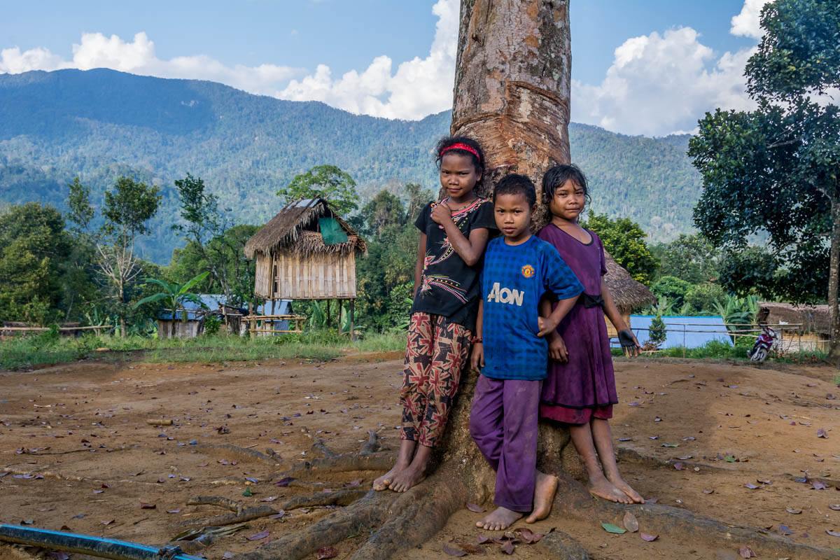
- Globally recognized for its outstanding biodiversity and unique cultural heritage, the Mentawai Archipelago’s Siberut Island is under increasing pressure
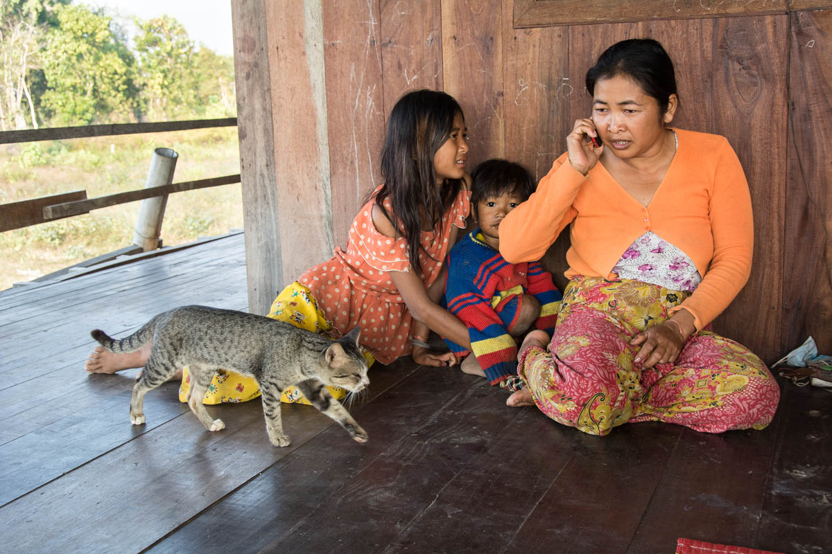
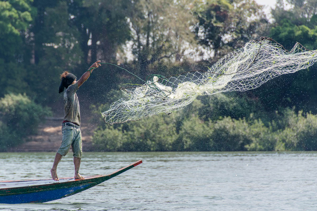
- Siberut Island, part of the Mentawai archipelago in western Indonesia, is recognized as a U.N. Biosphere Reserve due to its outstanding cultural and ecological value.
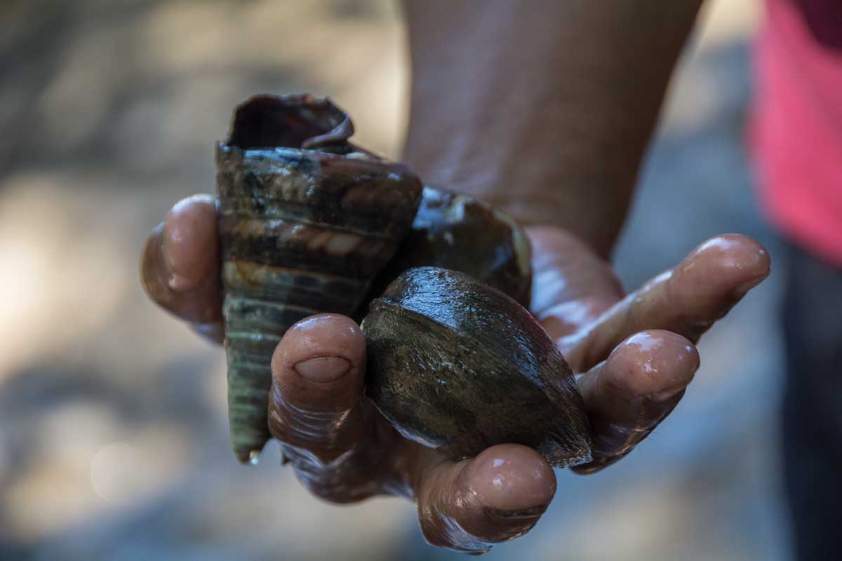
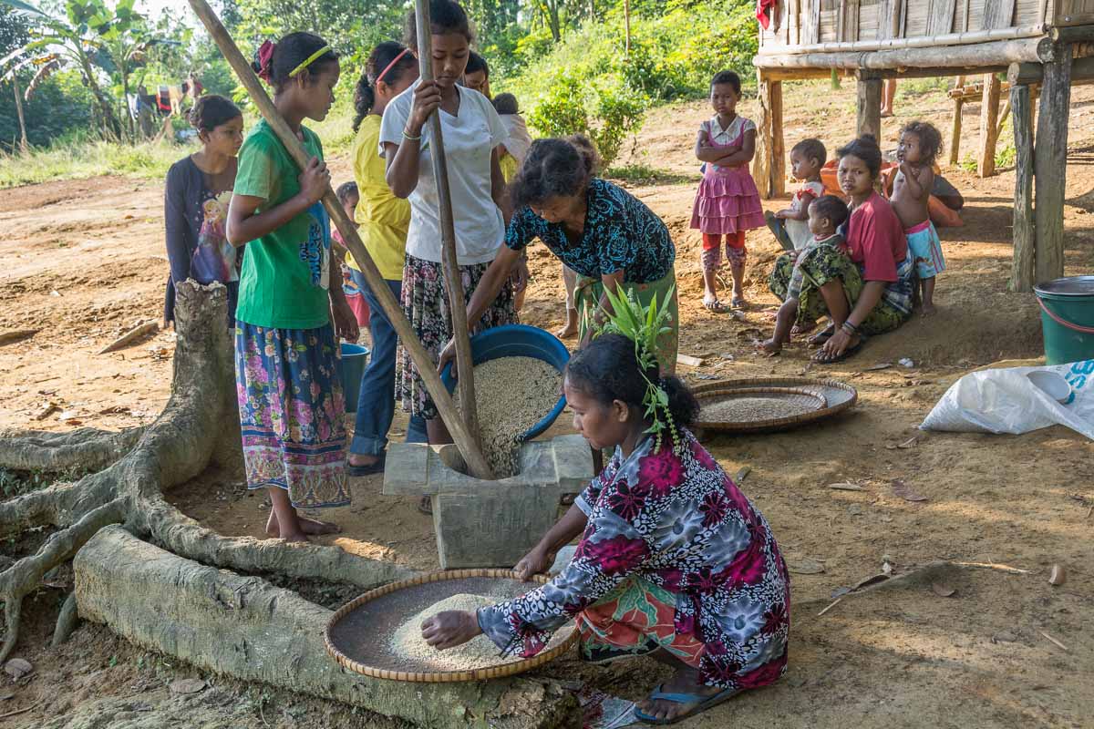
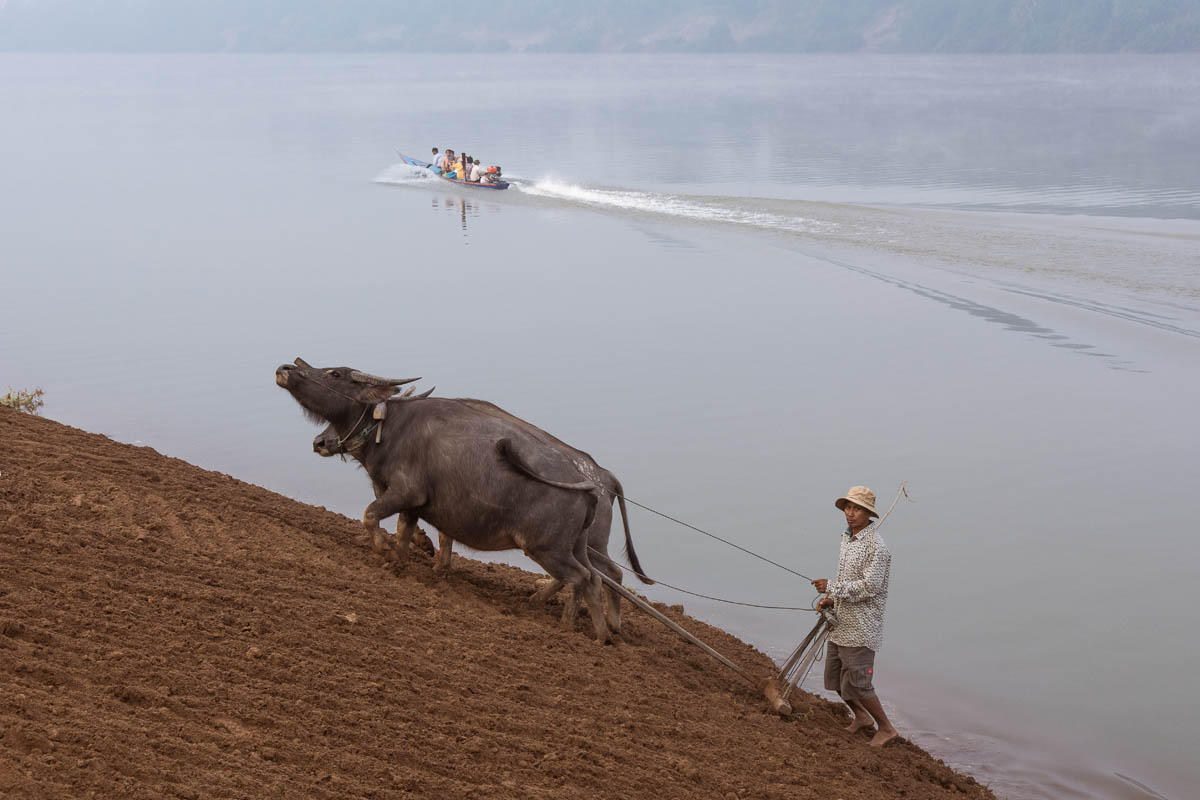
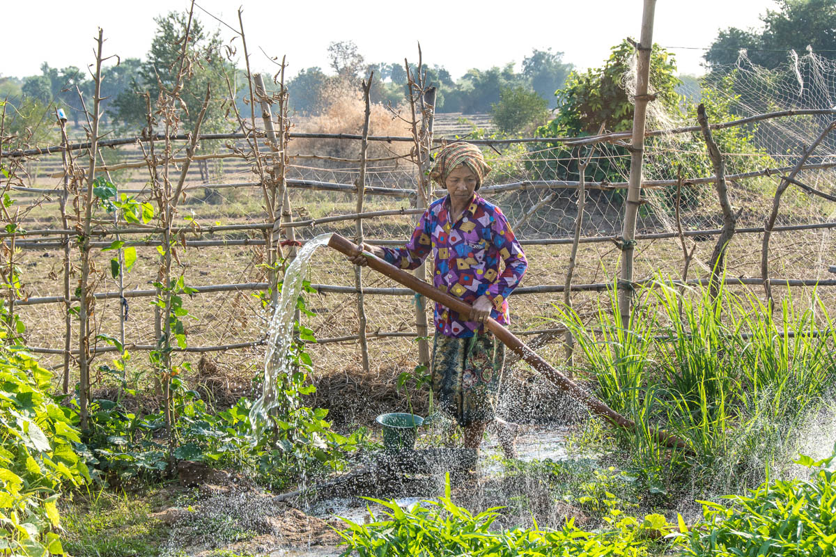
- The traditions of the indigenous Mentawai people, including agroforestry and customary land tenure, have allowed the people of the island live off the forest without depleting it.
- Roughly half of the island is protected as a national park. The rest, however, has been parceled out for timber and biomass plantations, road building, and the development of a special economic zone including a yacht marina and luxury resort.
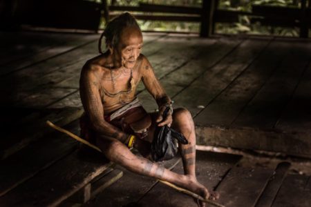
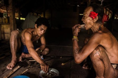
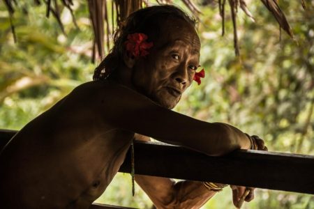
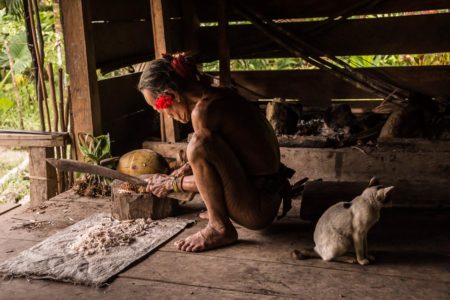
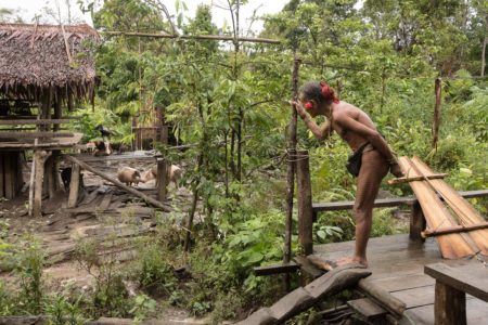
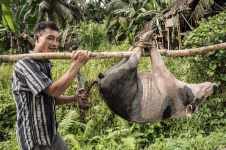
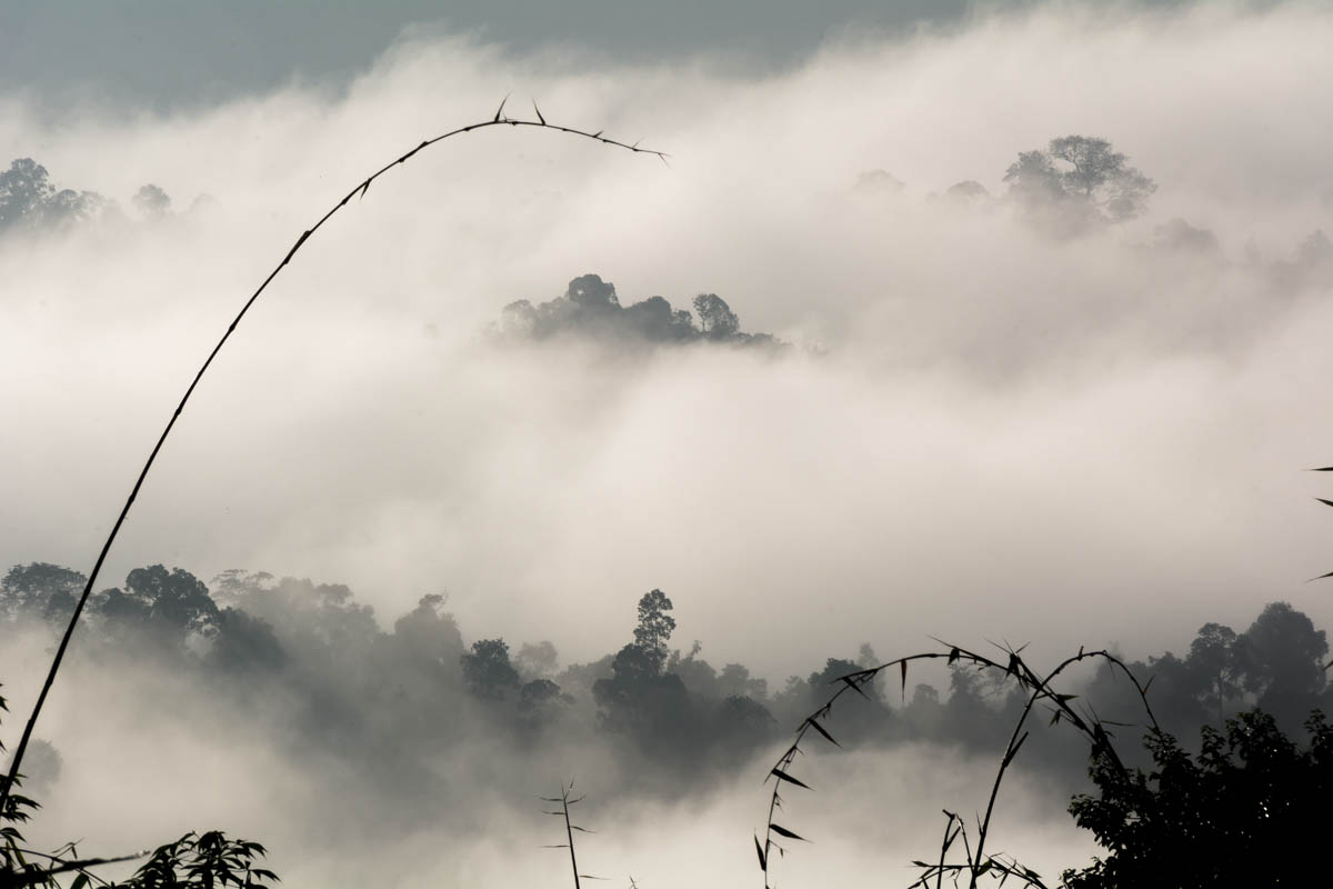
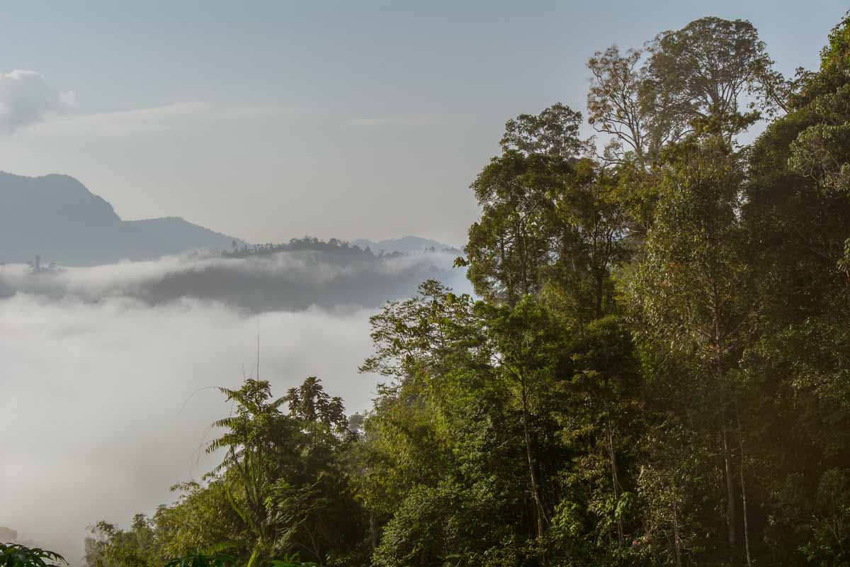
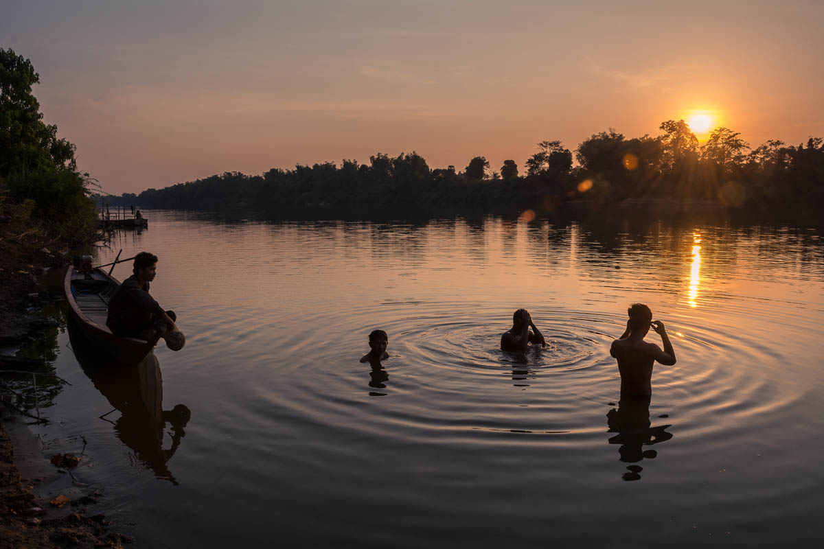
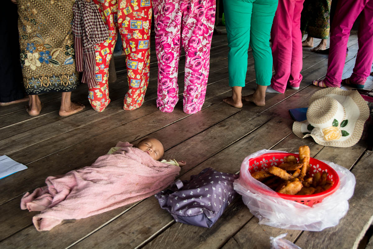
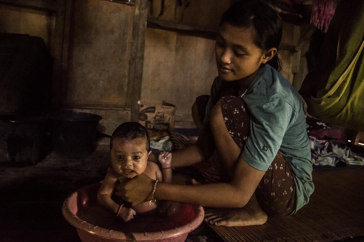
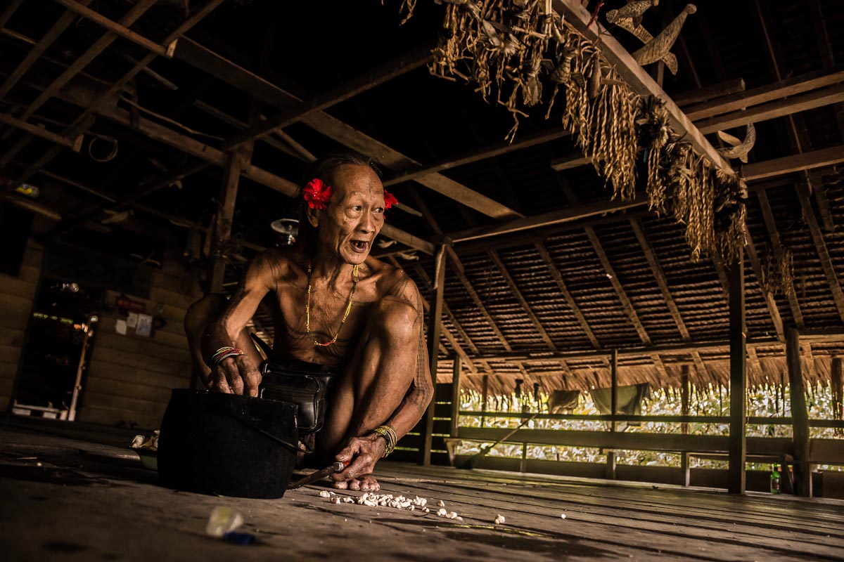
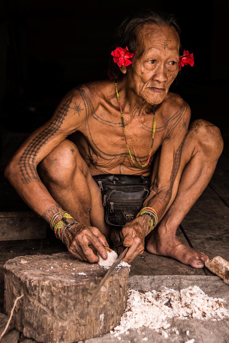
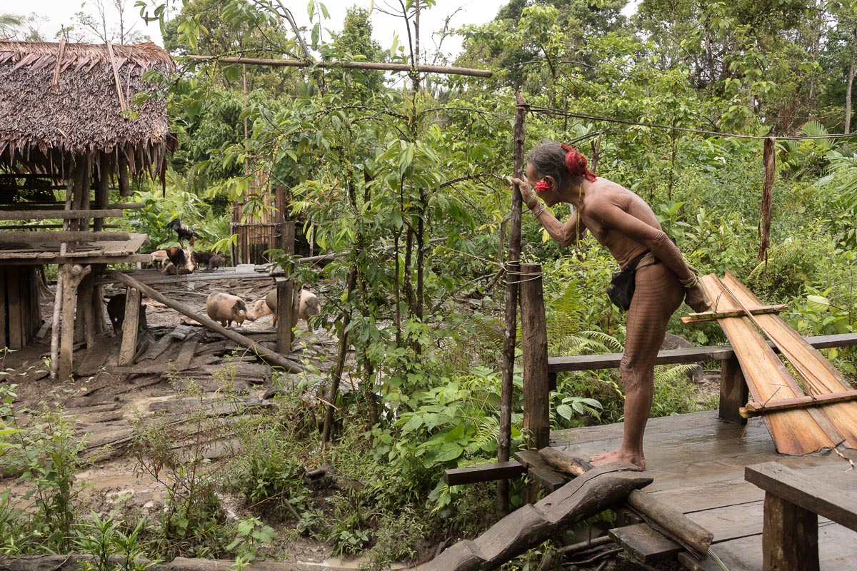
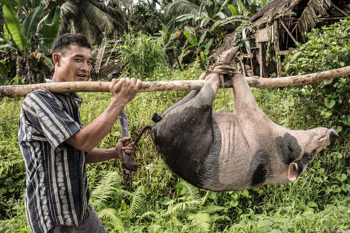
DOROGOT, Indonesia — Toikot rises as the golden light of dawn begins to shine on the heavy mist that cloaks the rainforest canopy outside his home in Indonesia’s Siberut Island. The pigs leave their sleeping place under his traditional uma clan house and set out to forage in the forest. Later they will return to the farmstead to eat sago.
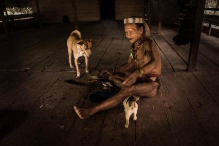
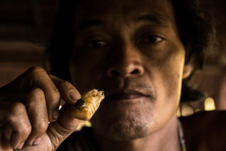
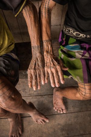
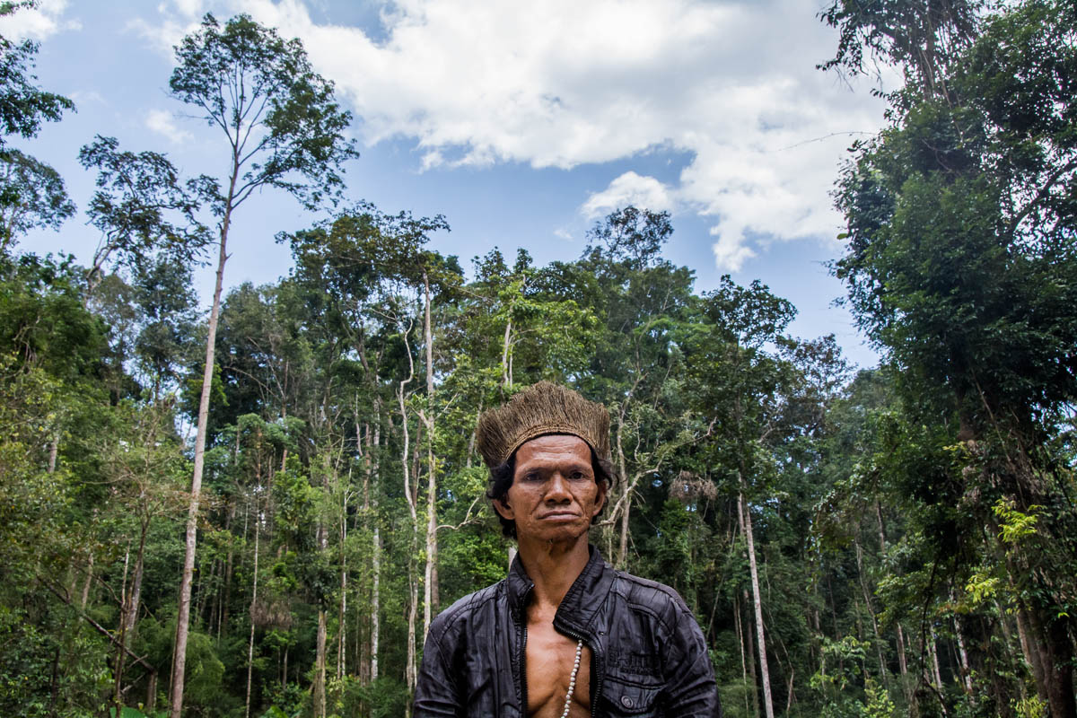
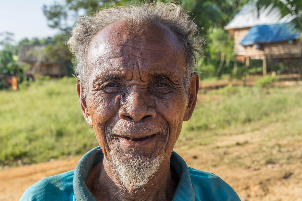
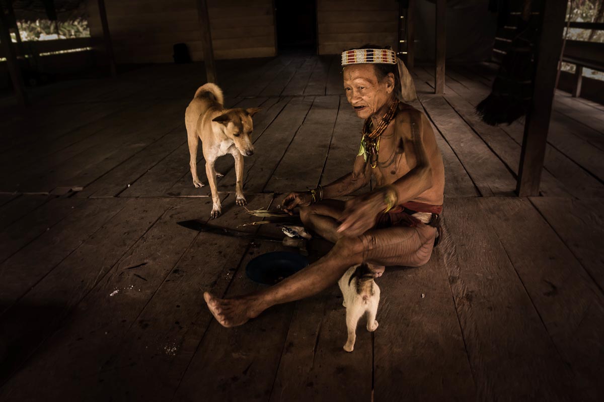
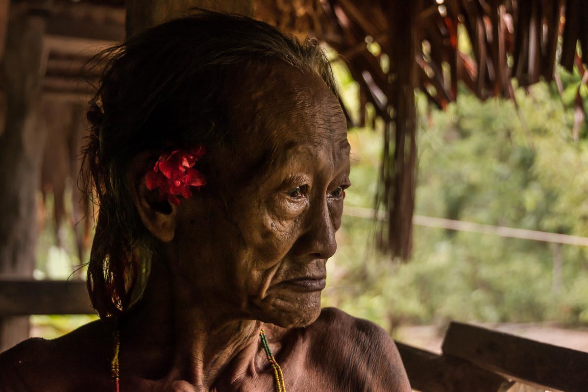
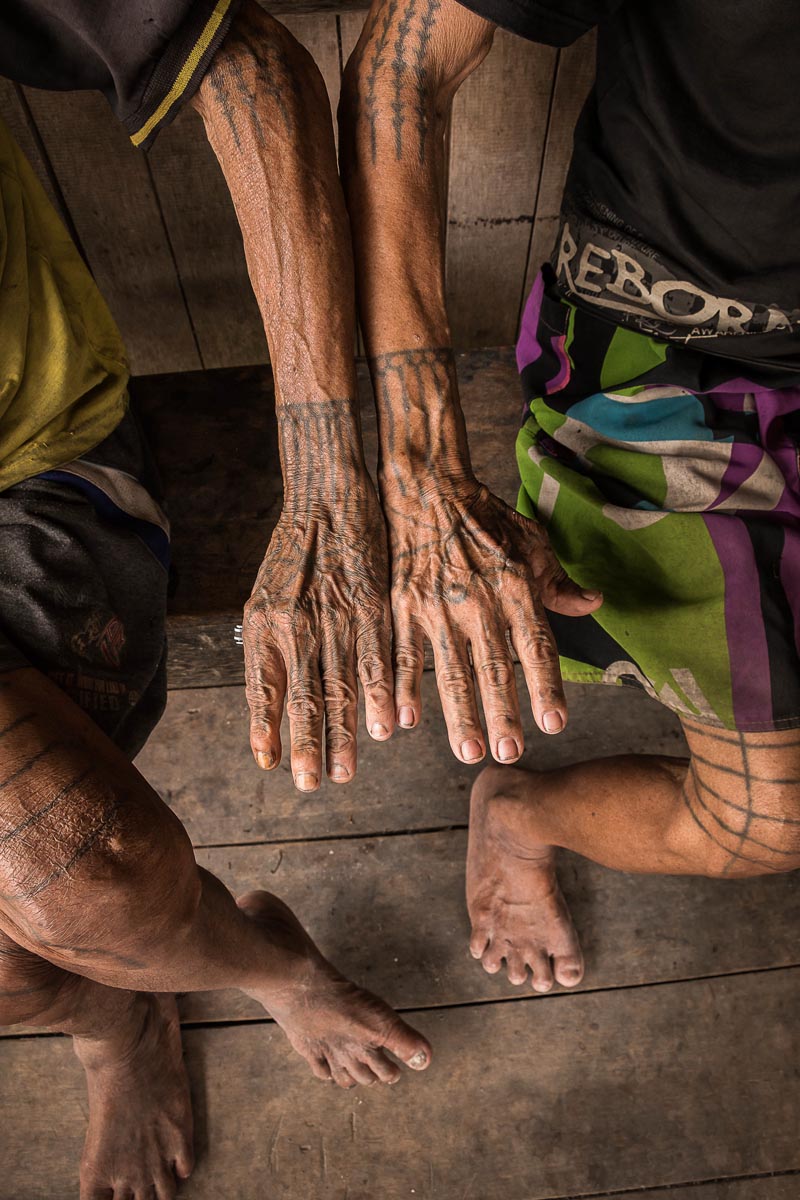
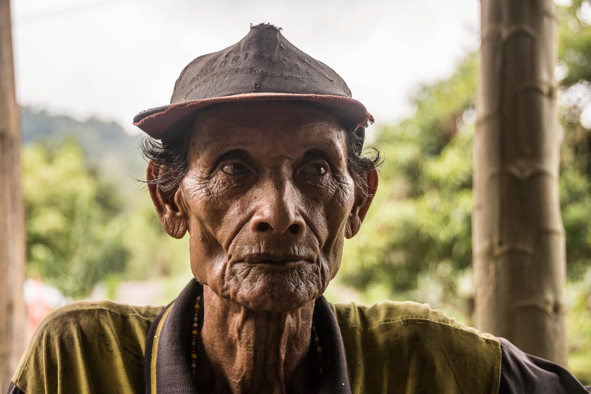
An elderly indigenous Mentawai traditional healer, or sekerei, Toikot’s first task of the day is to gather “something beautiful from nature” with which to adorn himself. Today he plucks two red flowers and places one behind each ear. A loincloth, elaborate tattoos and headdress complete the distinctive customary dress for which the sekerei are known.
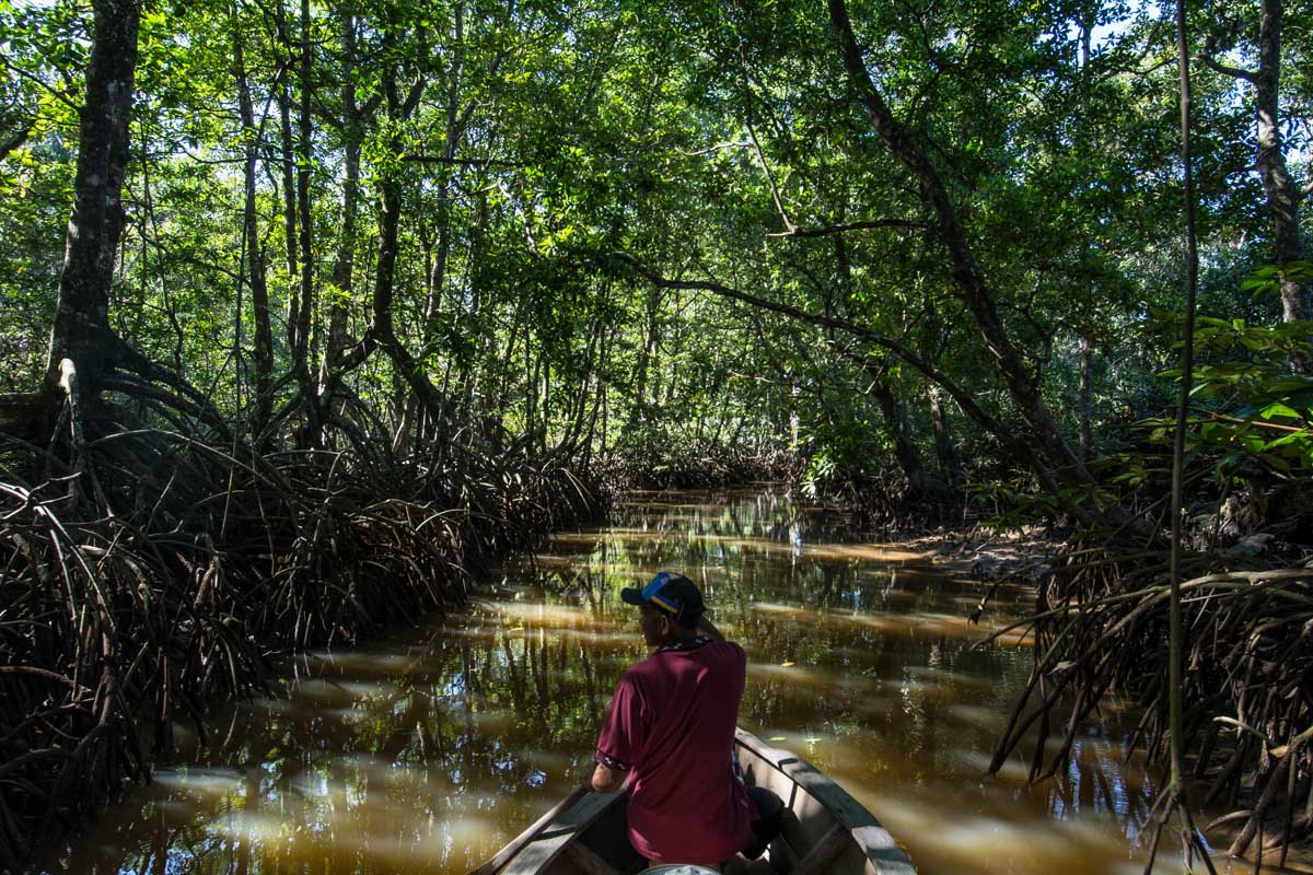
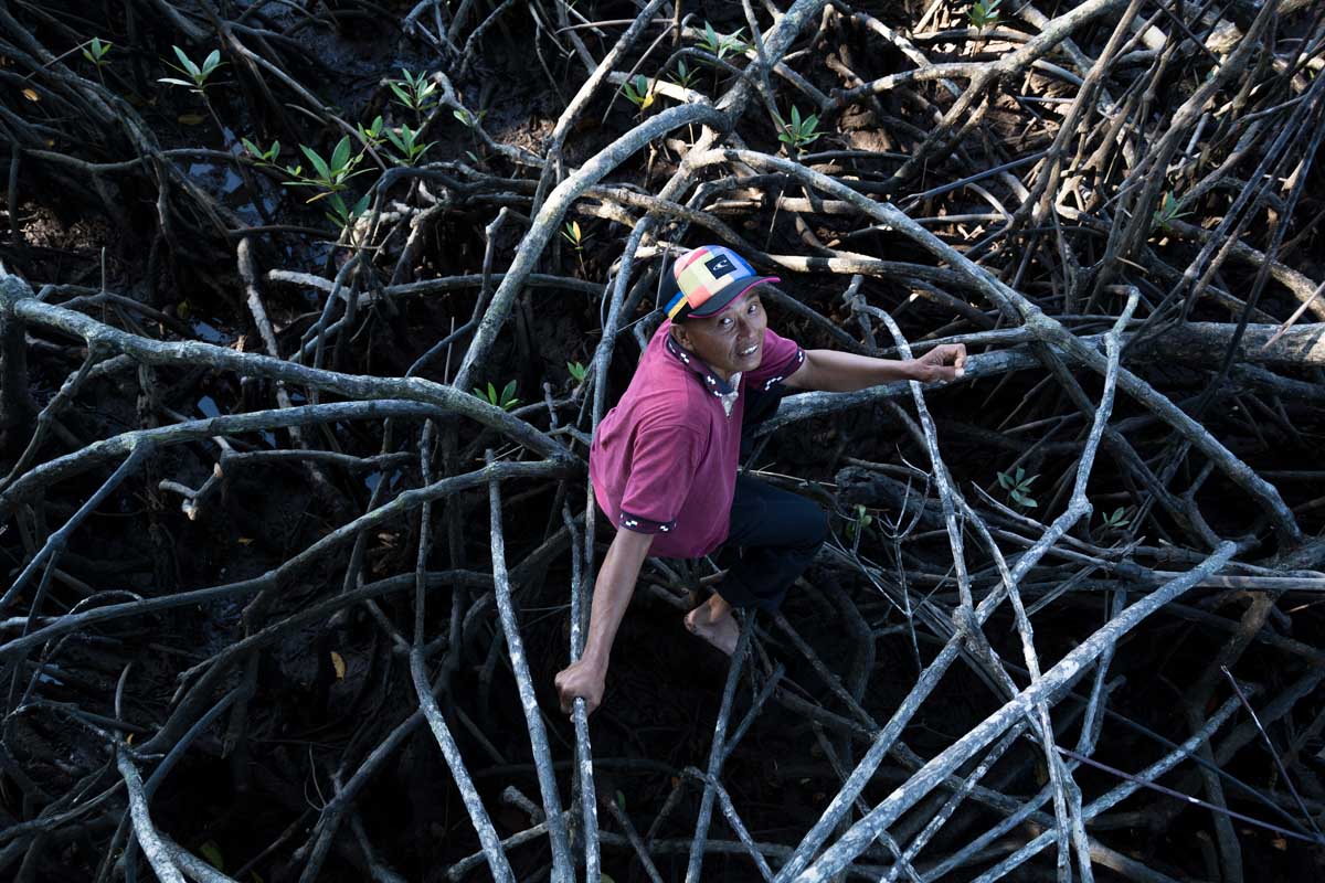
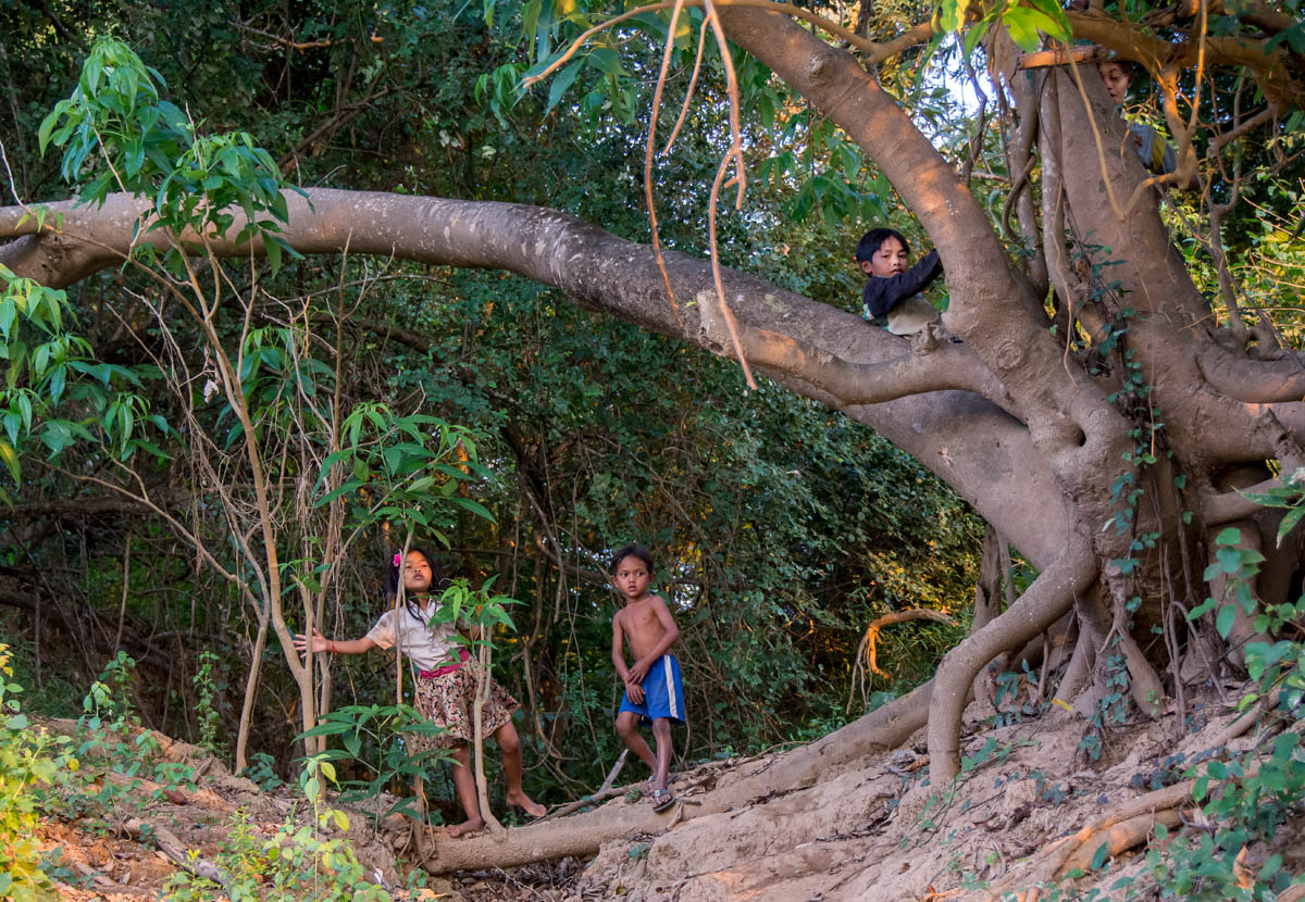
Toikot’s home, the farming community of Dorogot, is a cluster of forest farmsteads on the eastern side of Siberut, around three hours’ walk from the nearest village, mostly through arduous lowland swamp forest.
Siberut is the largest island in the Mentawai archipelago, which lies 140 kilometers (87 miles) west of the Indonesian island of Sumatra. The rainforest-swathed island has been isolated from the rest of Indonesia for half a million years, leading to an unusually high level of endemism. Two-thirds of the animals here are thought to be unique to the island.
This unique biological and cultural diversity was recognized in 1981 when UNESCO designated the island a Biosphere Reserve. This was consolidated in 1993 when Indonesia’s Ministry of Forestry established Siberut National Park, spanning 1,905 square kilometers (736 square miles) and covering most of the island’s western half.
Now, though, both Siberut’s traditional lifestyles and its biodiversity are under pressure from a spate of development projects. While the western half of the island is largely protected, the northeast is already home to a sizable timber concession and a biomass forestry concession. The central government also has big plans to develop a special economic zone in the south, and a highway linking it to the forest concessions in the north. The local government and a private company also plan to bring electricity to villages via a biomass project.
Land ownership and logging
These development plans are already coming into conflict with indigenous traditions in Siberut.
Mentawai ownership patterns are complex, relying on ancestral history passed orally from one generation to the next. Land tenure is deeply entwined with extended family clan kinship patterns, which create ties between the indigenous Mentawai people. “A land certificate is not so important as here we don’t sell the land. We know the story about the land, so that’s like a certificate,” says Fransiskus Samapoupou from Madobag village, echoing a widely held view on land ownership among the Mentawai. A candidate for a major political party in recent elections, he made land rights one of his key campaign issues. (Final election results are still not in, but Fransiskus’s name doesn’t appear among the winners in an unofficial tally.)
These sophisticated land ownership patterns, however, are not generally recognized by the government, since they rely on oral tradition rather than state-issued paper titles. As a result, the government claims ownership of most Siberut lands, and has allocated huge chunks to big development projects.
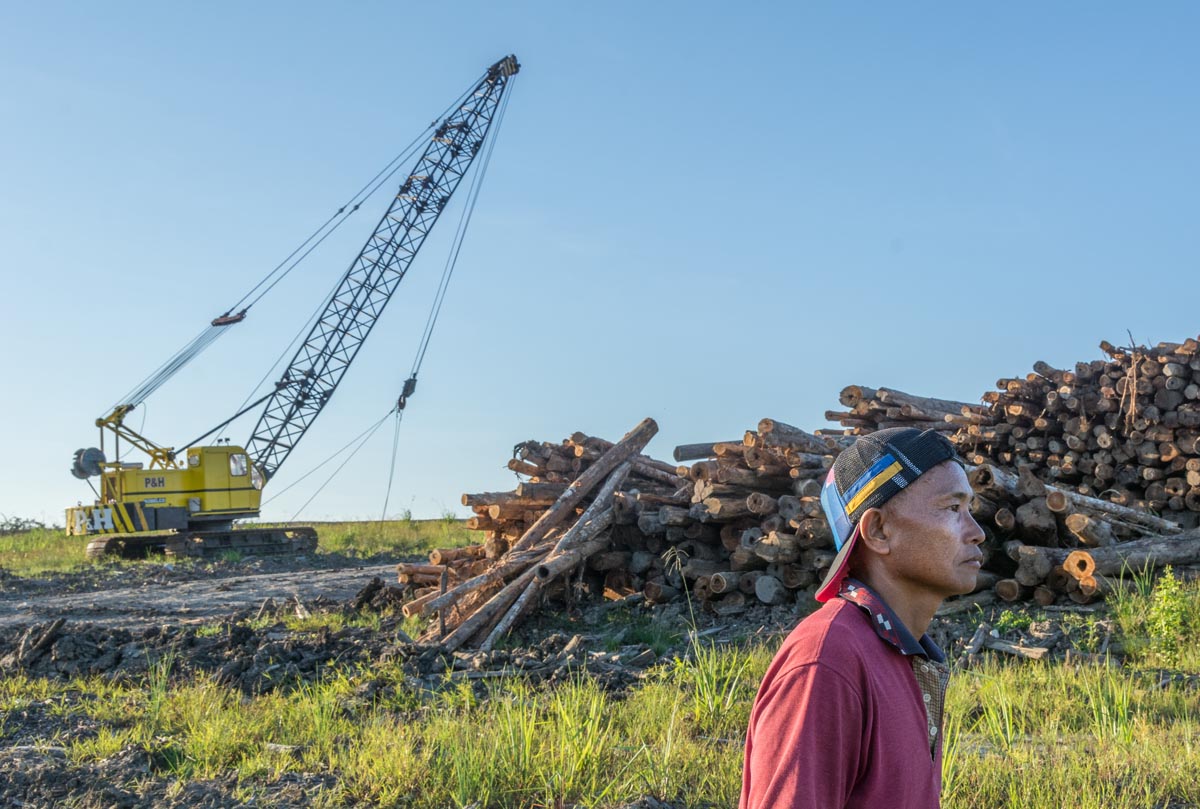
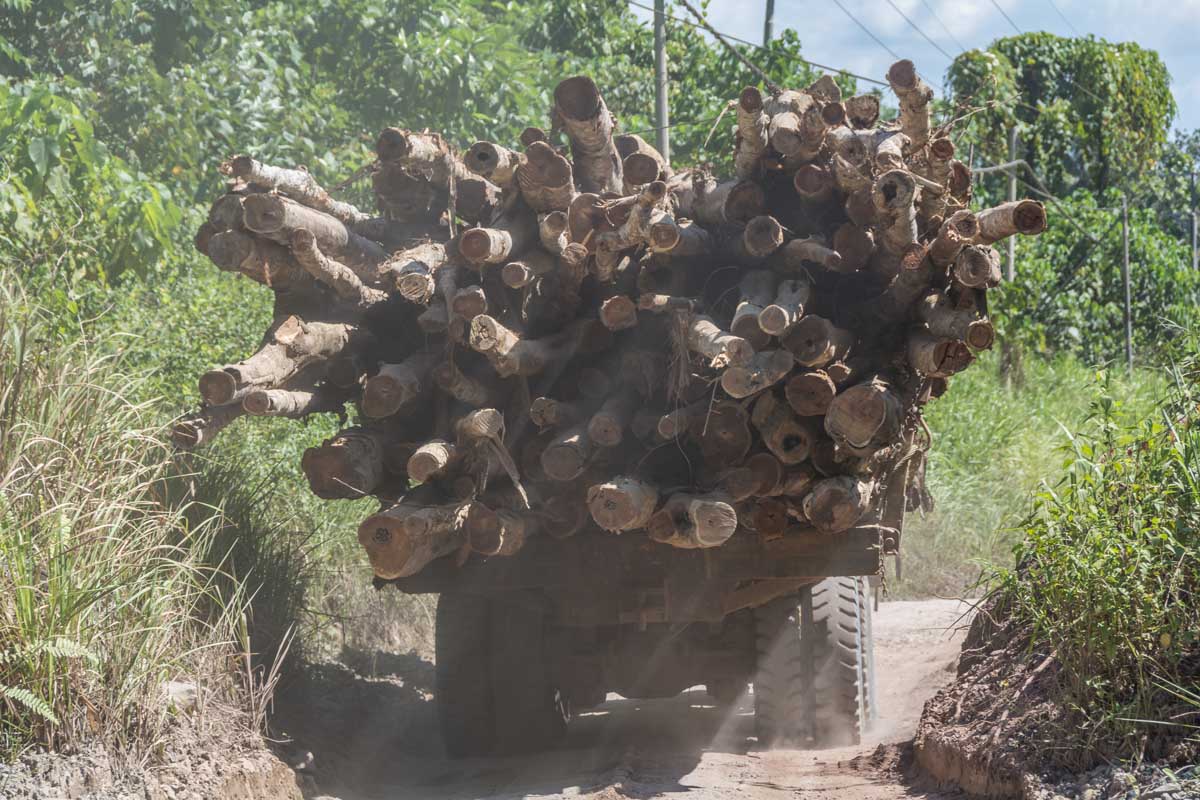
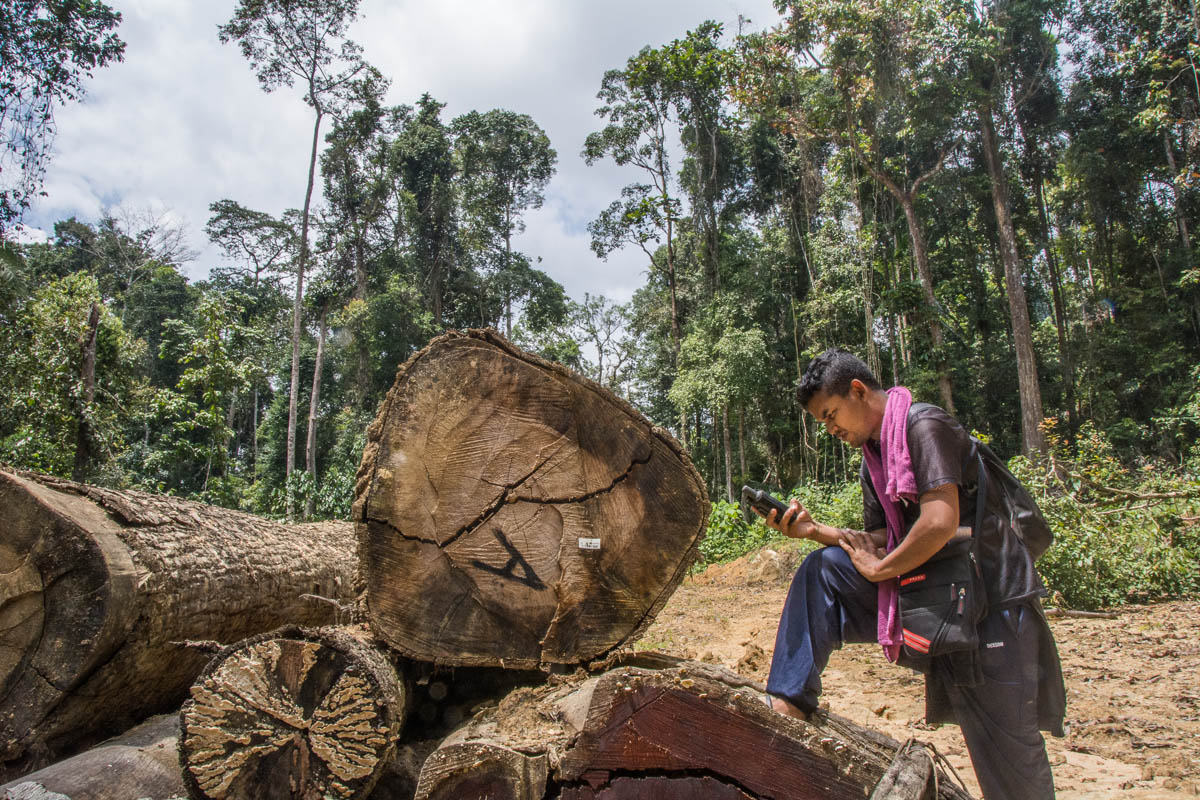
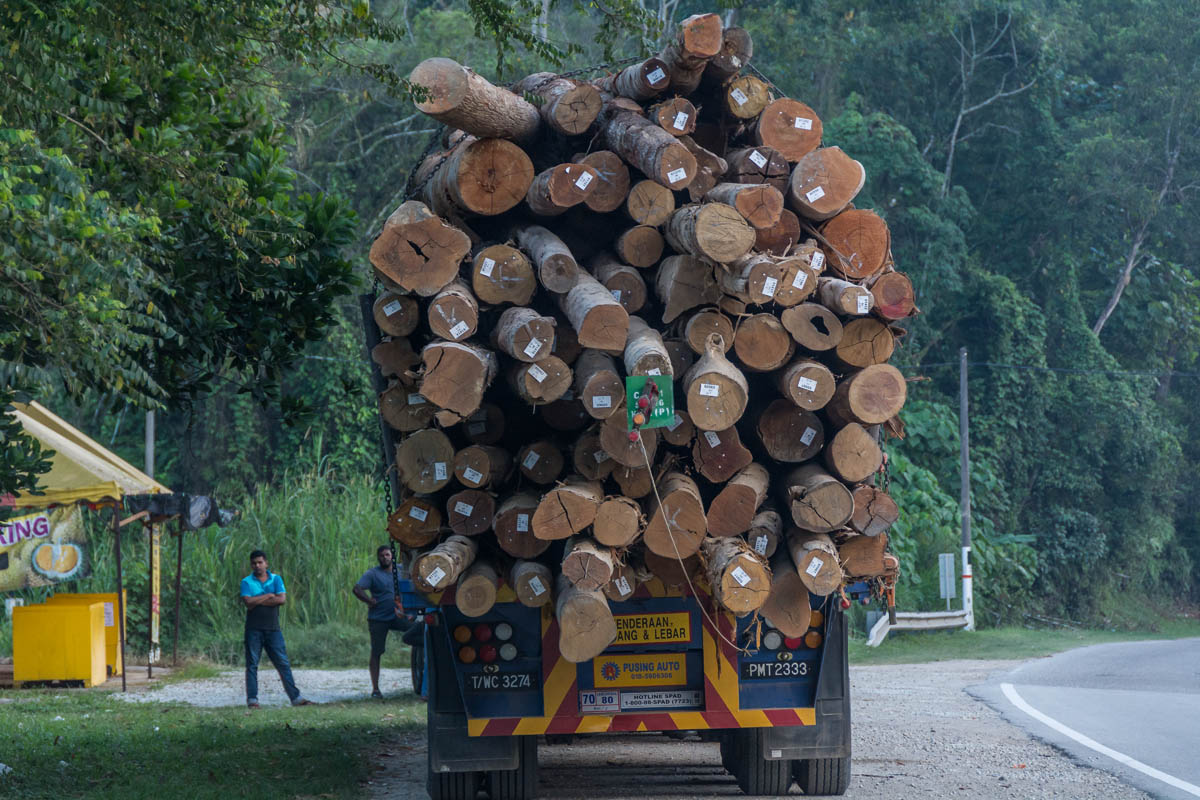
The government has since 1969 used its claim over the land to award forestry and logging concessions in the Mentawai Islands. The current logging operator is a Sumatra-based firm, PT Salaki Summa Sejahtera, which was in 2004 awarded a 45-year, 47,605-hectare (117,635-acre) timber concession covering the northeastern part of the island. Only a narrow buffer zone separates the logging concession and the national park. As of 2016, the company’s annual extraction target was 64,000 cubic meters (2.26 million cubic feet) of timber, focused on valuable species such as meranti, keruing and nyato mersawa.
Activists say that logging has brought few benefits, and many hardships, to the community. “The economic situation of the community has not improved. Our investigation shows that some of the company’s social obligations are not carried out,” says Rifai Lubis, director of the NGO Citra Mandiri Mentawai Foundation (YCMM).
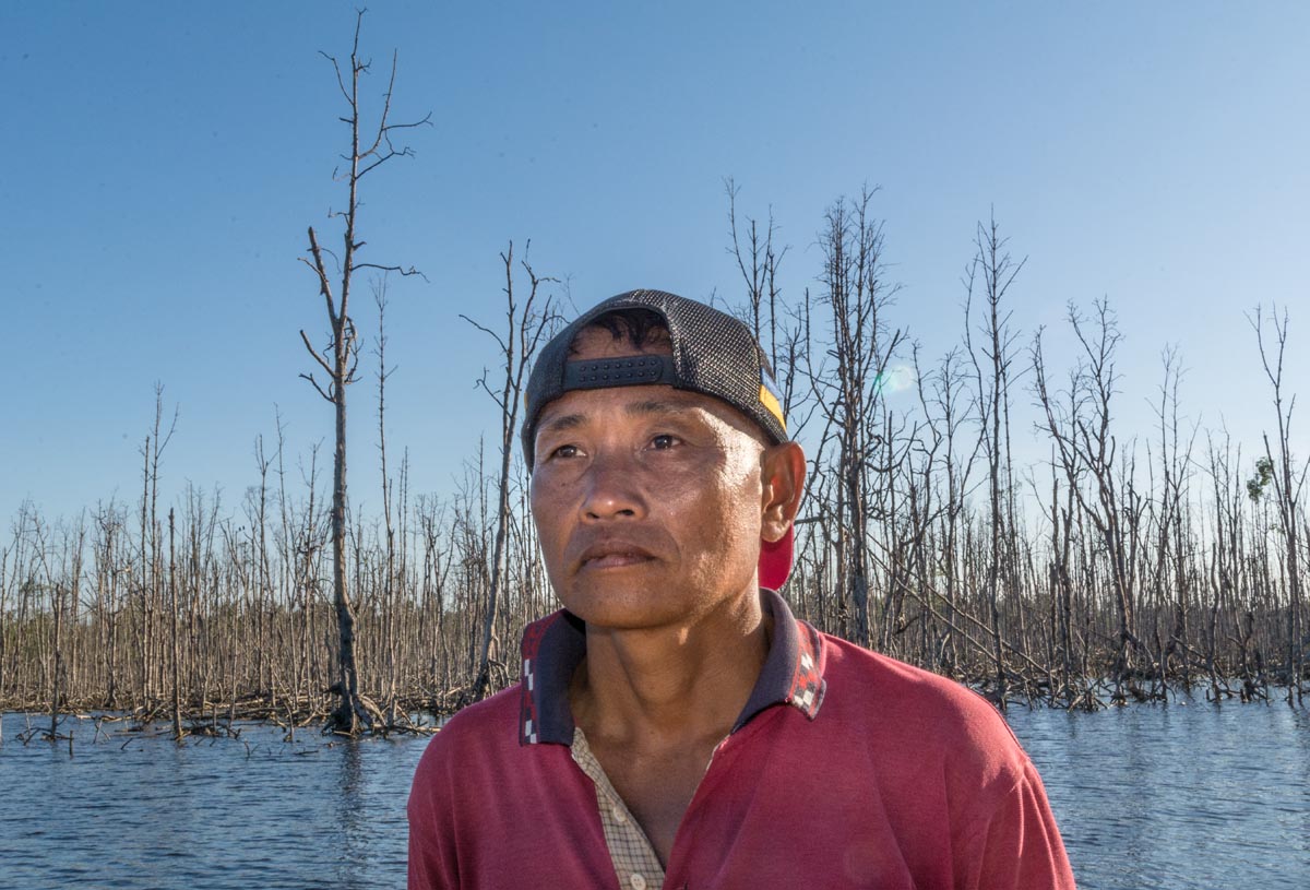
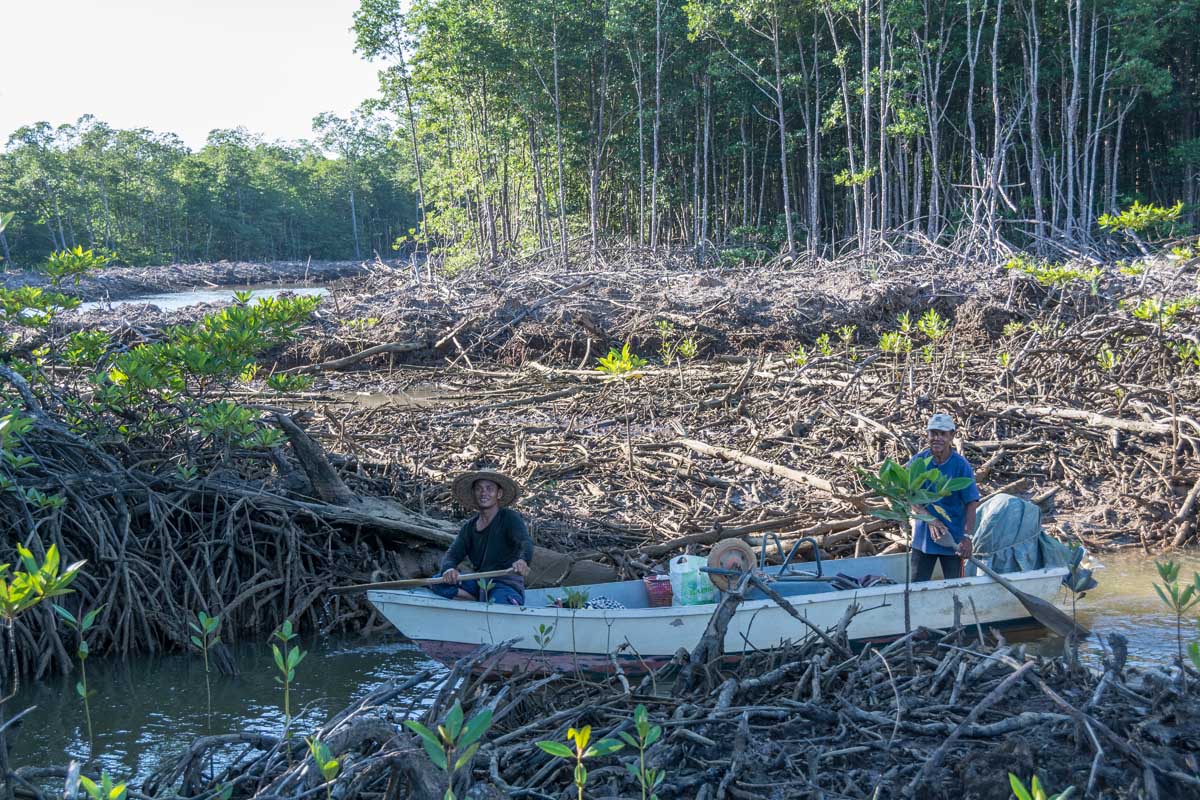
As of 2011, the company was working with the Borneo Initiative, a forestry certification platform, to achieve a certificate of sustainable forest management. However, NGOs including YCMM have blamed the logging operations for increased incidence of flooding in the concession areas in recent years. “Logging carried out by this company must be one of the causes of flood event,” says Lubis. “The occurrence of flooding is increasingly common, and the volume of water during floods is also increasing.” These floods damage crops and have even washed away houses, he says.
Biomass plantations
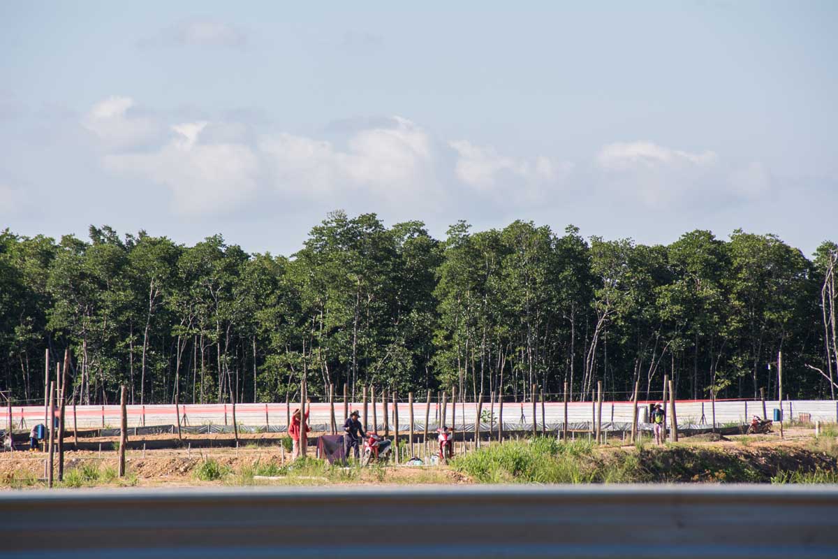
In Siberut’s central eastern area, a company called PT Biomass Andalan Energi (BAE) was in 2015 granted a 20,030–hectare (49,500-acre), 36-year concession to cut down rainforest and replace it with fast-growing exotic tree species for export as feedstock to be burned to generate biomass energy. Most of this concession abuts the national park. According to plans, three main species are due to be planted: kaliandra (Calliandra calothyrsus), gamal (Gliricidia sepium) and lamtoro (Leucaena leucocephala). Maps show a network of service roads due to be constructed on the concession.
“These invasive trees species grow easily and can displace native species. It is feared that they could disturb the trees and biodiversity of Siberut National Park,” Lubis says. YCMM has launched a petition against the project as part of ongoing advocacy efforts, which in 2016 saw local protests against the project on the island. In 2017 the district government reacted by recognizing traditional rights as a step toward granting customary forest status.
The YCMM petition, which calls on Indonesia’s president to revoke PT BAE’s permit, alleges that the biomass company acquired the permit without obtaining the consent of the local indigenous people, and that letters and petitions from tribal councils and Mentawai environmentalists, submitted in 2017, were ignored.
A previous petition to stop the company by Rainforest Rescue ended in May 2018 after drawing 245,576 signatures.
New road project
“I walk to Madobag once a week to see my grandson,” says Toikot.
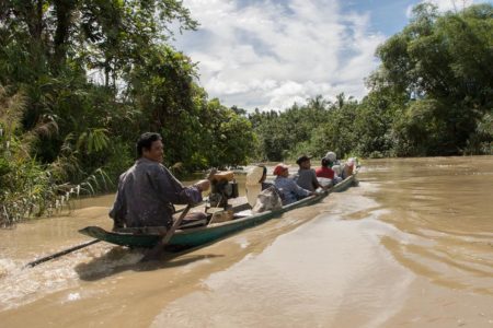
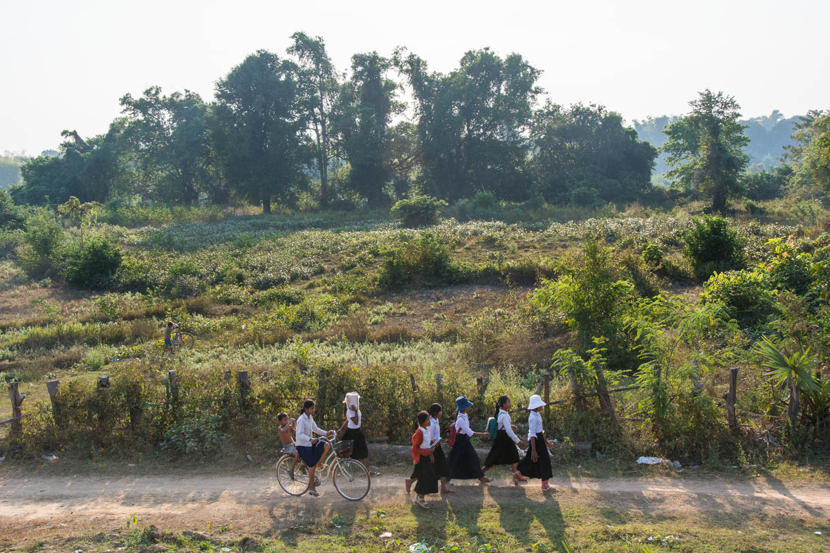
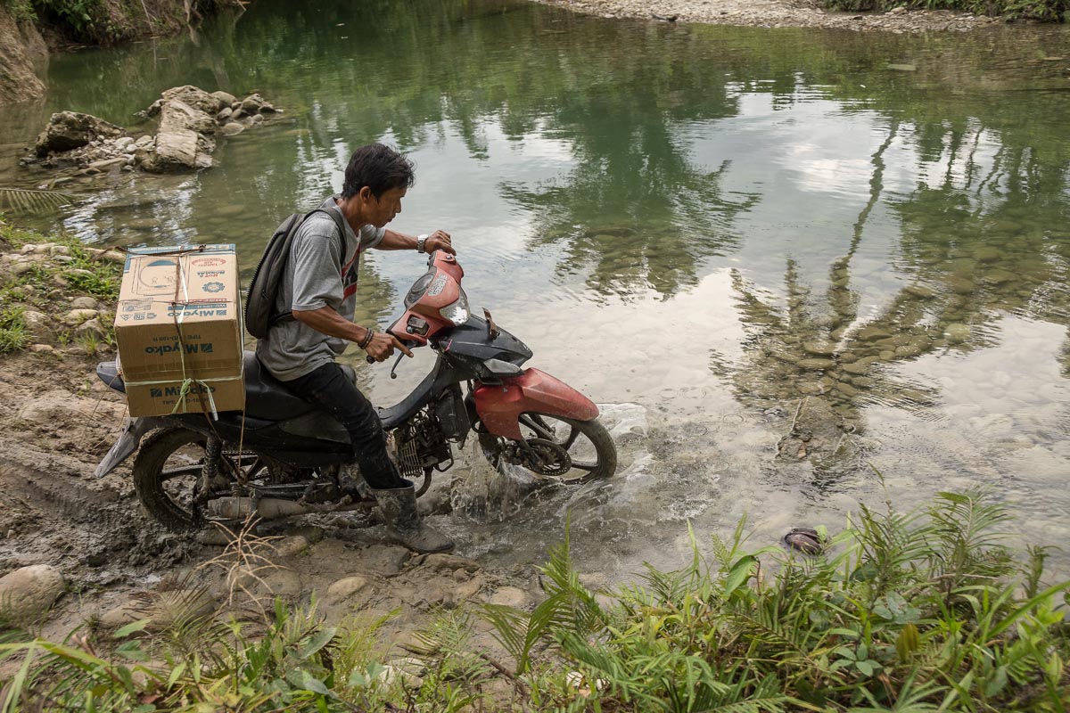
His grandson, like many high school students, lives away from home because the arduous six-hour round trip makes a daily commute impossible. To market their farm produce, people living in the interior often make the longer and more expensive journey to the market at Muara or the port at Maillepet by motorized dugout canoe. Even so, Toikot is against the prospect of new roads in the area. “A road might make it easier to walk, but there would be more accidents with cars and motorbikes,” he says. “People’s chickens would get run over.”
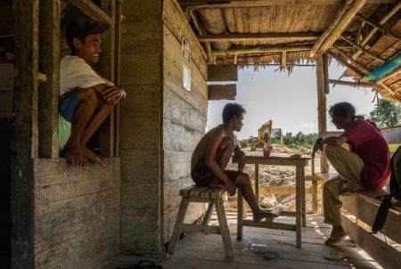
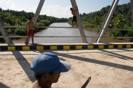
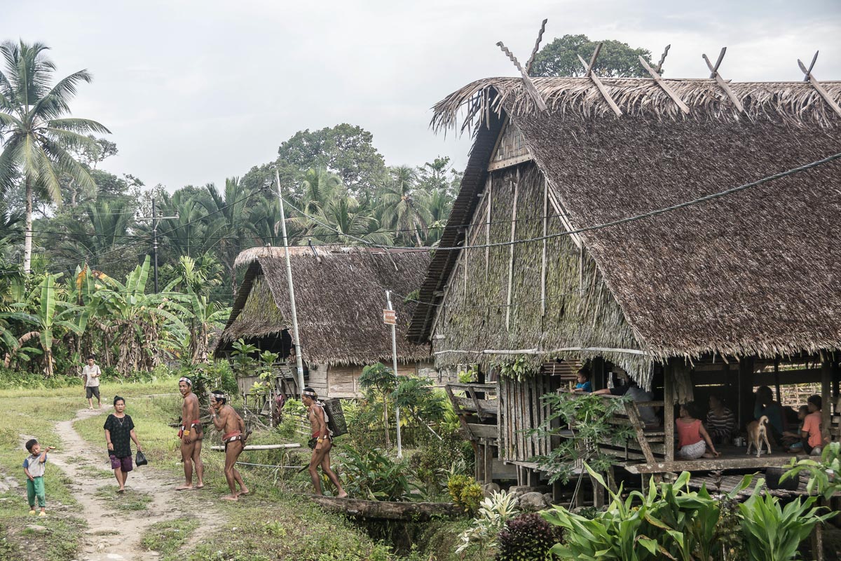
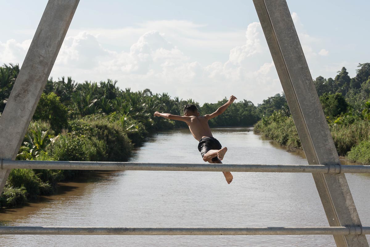
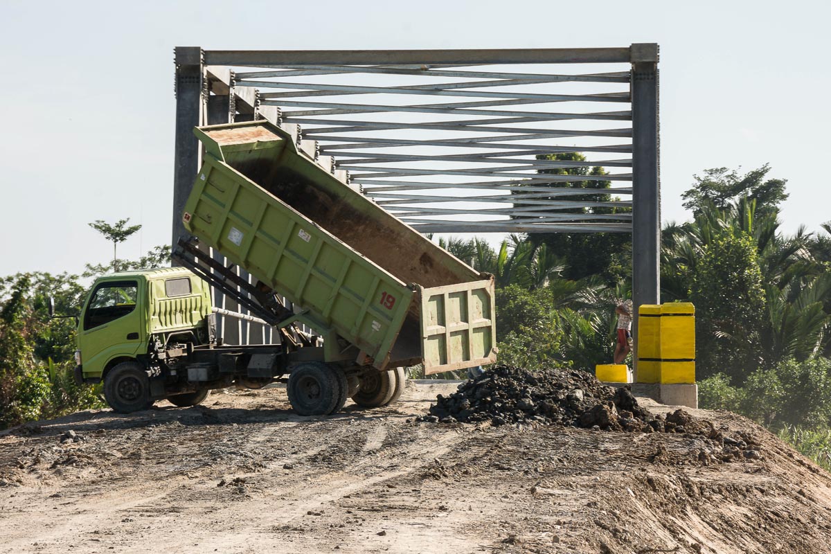
A muddy walking trail is all that links the school village of Madobag to the outside world for now. But the route is set for a major upgrade. Work is already underway to build the Trans-Mentawai highway, a two-lane paved road running north-south along the eastern half of Siberut Island, with transport links to neighboring islands, passing through the villages of Rogdog, Madobag and Matotonan along the way.
As of April, only one river bridge and a few miles of paved road had been completed, in the Muara area, an hour by motorized canoe downstream from Dorogot. A second river bridge now nearing completion has taken eight months to build and abruptly stops on the south bank, where dense forest remains. A worker on the project told Mongabay he had been working on it for six to seven months, earning the equivalent of $5.70 per day.
“A big road would be good, but if it means cutting down my areca nut trees, the government must pay,” says Aman Derik Ogo, an elderly man at a trailside coffee shop in Mangaroot village, just beyond the current end of the paved road.
On the track towards Madobag, Kornelius Sakaliou disappears from the path and slashes weeds at the base of a huge durian tree towering some 20 meters (60 feet) high. “I inherited this durian tree from my grandfather who planted it years ago,” Sakaliou says. He adds he’s horrified that widening the track into a road could condemn his durian tree, and he’s not alone.
“The government must ask who the land and trees belong to,” says local politician Fransiskus. “I want people to get money for their land and money for their durian trees.” That he’s put this issue at the top of his agenda reflects the widespread concern here about compensation for land and property requisition.
Coastal development
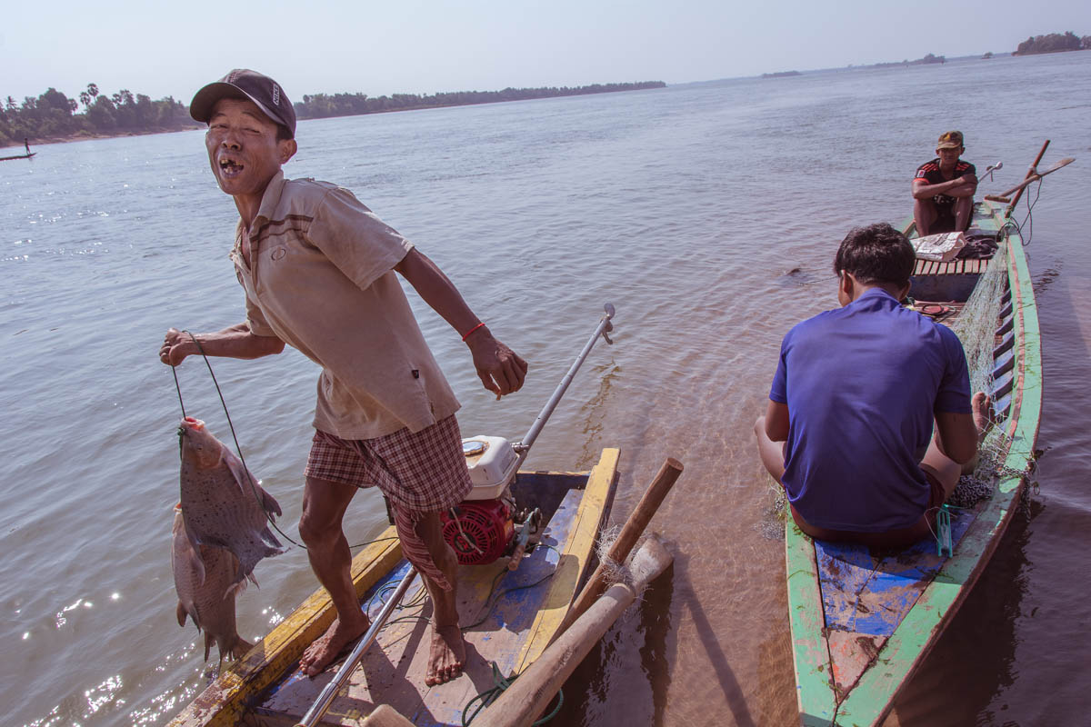
Life in the forest contrasts starkly with plans by the district government to establish a special economic zone on the south coast. Key to this project is the Mentawai Bay Resort, a 2,639-hectare (6,521-acre) coastal development, for which Java-based firm PT Putra Mahakarya Sentosa was awarded a contract. According to the company’s plans, the resort will stretch across about 10 kilometers (6.2 miles) of beachfront and extend up to 6 kilometers (3.7 miles) inland, into what is currently a traditional farming area full of multi-cropped agroforestry gardens among the forest. The area that will be swallowed up by the project also includes a freshwater lake on which people rely for fishing, particularly during the stormy rainy season when rough seas make it dangerous for fishing boats.
The first phase of construction will focus on a 300-hectare (741-acre) airport, an adjacent harbor and yacht marina, hotels, and a theme park. In all, five beachfront hotels, villas and condominium towers will take up 900 hectares (2,224 acres). A golf course, zoo, eco-theme park, hospital, college, and industrial center are also planned. A spiritual area and cultural village are included in recognition of Siberut’s unique cultural heritage.
When it comes to recognition of land rights, however, the developers are lagging behind, says Lubis of the YCMM. “There is compensation given, but only for coconut palms. Whereas land is not compensated.” Lubis says the compensation varies depending on the number or coconut palms lost, and is paid out on an annual basis for five years. Local farmers are still holding out for a comprehensive compensation package that recognizes other assets such as fruit trees, and for now construction remains deadlocked.
Biomass electricity
In addition to these large, state-backed initiatives, projects at the local level are already having an impact. In March 2017, work commenced on a biomass power plant, developed by Jakarta-based PT Charta Putra Indonesia (CPI). According to its project portfolio, the company has plans to generate power from tourist trash in Bali and establish a biomass plant in Jambi, on the Sumatra mainland. The Mentawai Distributed Power project is the company’s flagship, a $12.4 million project financed by international donors including the U.S. Agency for International Development (USAID), via the Indonesian government-administered Millennium Challenge Account (MCA).
In a 2018 presentation, founding director Jaya Wahono described biomass energy as a way to make use of the 20 million hectares [49 million acres] of degraded and marginalized lands in Indonesia. By harvesting just two to three bamboo poles per month, he said, households can meet their energy needs.
In the villages of Rogdog and Madobag, electricity meters freshly installed on the porch of each house remain a mystery to many people. In particular, people are unclear how the new electricity they have been receiving for the past year will be paid for.
“I don’t have an agreement with the company yet. They just gave me a hundred bamboo saplings to plant and 100,000 rupiah [$7] as payment for planting them,” says clan leader Aman Patdoini in Rogdog.
Wahono anticipates that after five years of growth, each seedling will yield 100 poles, equal to around 200 to 300 tons of bamboo feedstock per household. If that proves correct, the 200 households in Rogdog village would produce up to 60,000 tons of bamboo feedstock in five years, more than enough to cover the 2,555 tons required annually to fuel the plant at seven tons per day.
These estimates may be optimistic: instead of the monocrop plantation depicted in the company’s marketing materials, seedlings planted in one garden visited by Mongabay were interspersed among other crops, as is customary on the island. Several farmers also said that because they keep pigs they had given their seedlings to neighbors and helped plant them.
But most hope the sale of bamboo will be enough to cover their electricity bill. “It’s undecided whether they’ll have to pay for electricity,” says Gervasius Tasiriottoi of Rogdog village, who is in charge of keeping population records for the local government. “Maybe they can give harvested bamboo in exchange,” he speculates.
“For now, while staff training takes place, the generator is being run on gasoline. It will be switched to wood in a few months’ time,” says Tasiriottoi. The bamboo harvest is still several years away, though. “In the meantime the company are offering 300 rupiah per kilo [less than a cent per pound] for wood,” says Tasiriottoi. At the entrance to the 300-kilowatt power plant is a pile of logs gathered locally.
“There is plenty of wood, so for now they’re not cutting trees,” Tasiriottoi says. However not all agree, and there’s widespread concern about the impact the project could have on the remaining forest in the area. “There will be a four-year wait until the first bamboo harvest, so I worry the jungle will be destroyed because there is not enough wood. Wild pigs and monkeys will be affected,” says Aman Patdoini.
“Electricity is good, but if the company plant in my garden there will be problems,” says Aman Derik Ogo. “This is our land. Even for me I’m old already. If they grow bamboo everywhere, where can a person find their livelihood? No trees anymore, no medicine, no food. Water all gone. No more firewood. Nothing, because everything used in the biomass plant. No trees anymore so Mentawai people will die.”
An island at the crossroads
The Mentawai are a tight-knit tribe proud of their cultural heritage. Their forest-dependent customary beliefs and livelihood traditions have proven resilient over the ages, allowing them to live off the land without depleting it. Now, development projects are attracting a mixed reception from the Mentawai. While some benefits like electricity and transportation are broadly welcomed, concerns and suspicions about the negative impacts of development are widespread, and opposition is growing to projects that threaten the forest and cultivated gardens.
Back in Dorogot, life remains much as it has been for generations. To the untrained eye the multi-crop forest garden, where natural forest has grown around cultivated trees, could easily be mistaken for dense jungle. As the sun sinks in the sky and the pigs amble back in search of sago feed, Toikot leaps to his feet with a start. “Can you hear that eagle?” he exclaims. “It’s after my chicks.” The ambitious development plans about to take shape nearby seem distant for now, but for how much longer?
Citation:
Meyers, K., Pio, D., Rachmania, S., Hernandez, A. (2006) 25 Years of Siberut Biosphere Reserve: Saving Siberut and Its Unique Culture and Natural Heritage. UNESCO, Jakarta, Indonesia.
Published on Mongabay.com
-
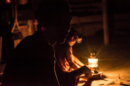 Kornelius lights a paraffin lamp in the traditional Uma clan house in Dorogot hamlet, an isolated community in Siberut's swamp forest. Electricity has yet to reach Dorogot, but is already being rolled out in neighbouring villages Rogdog and Madobag as part of a Biomass generation scheme.
 -
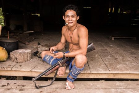
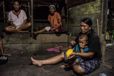
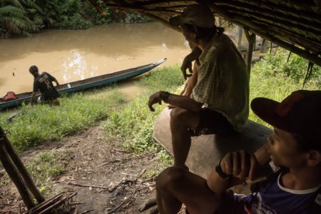
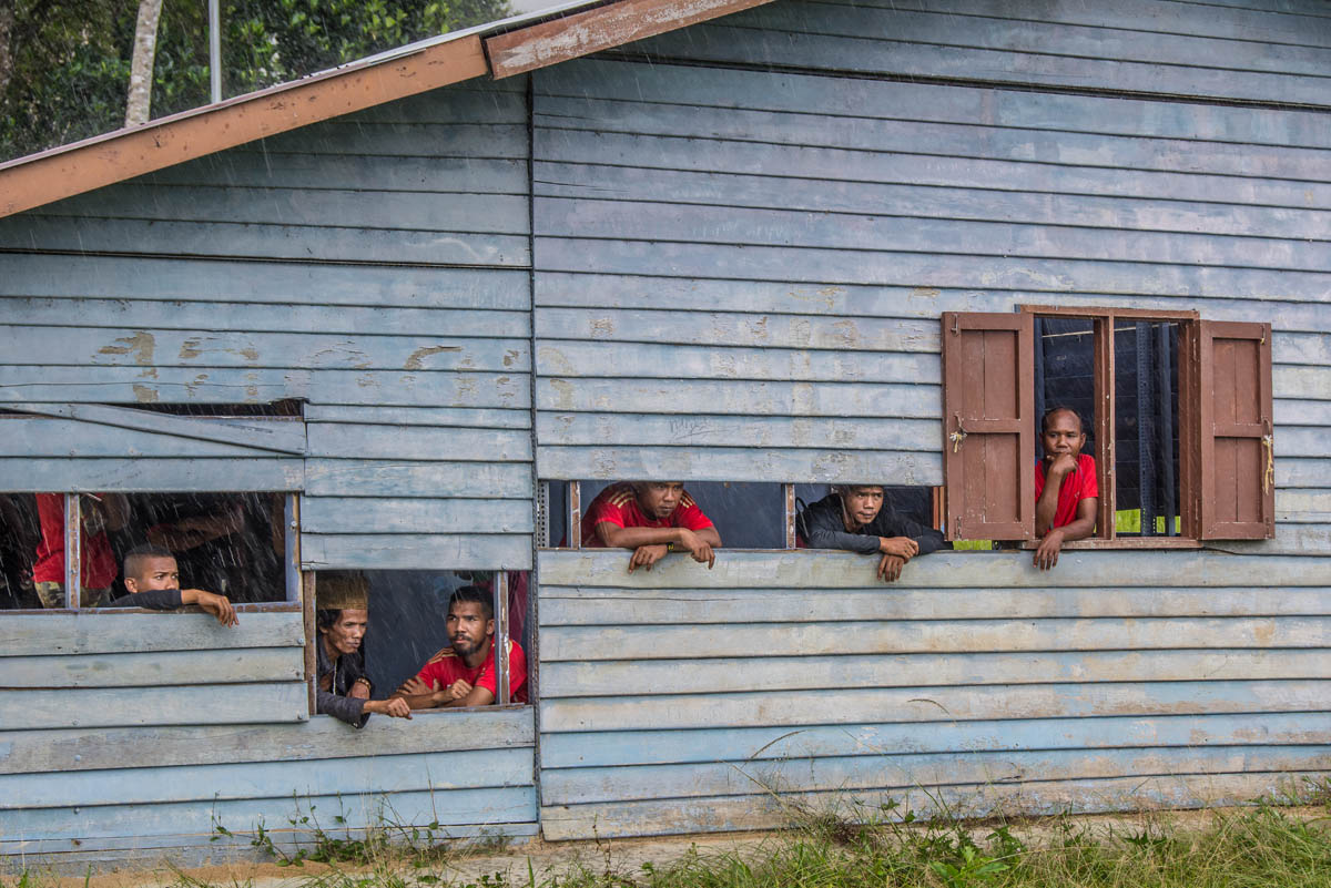
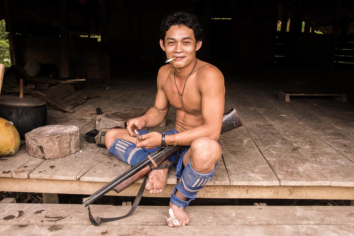
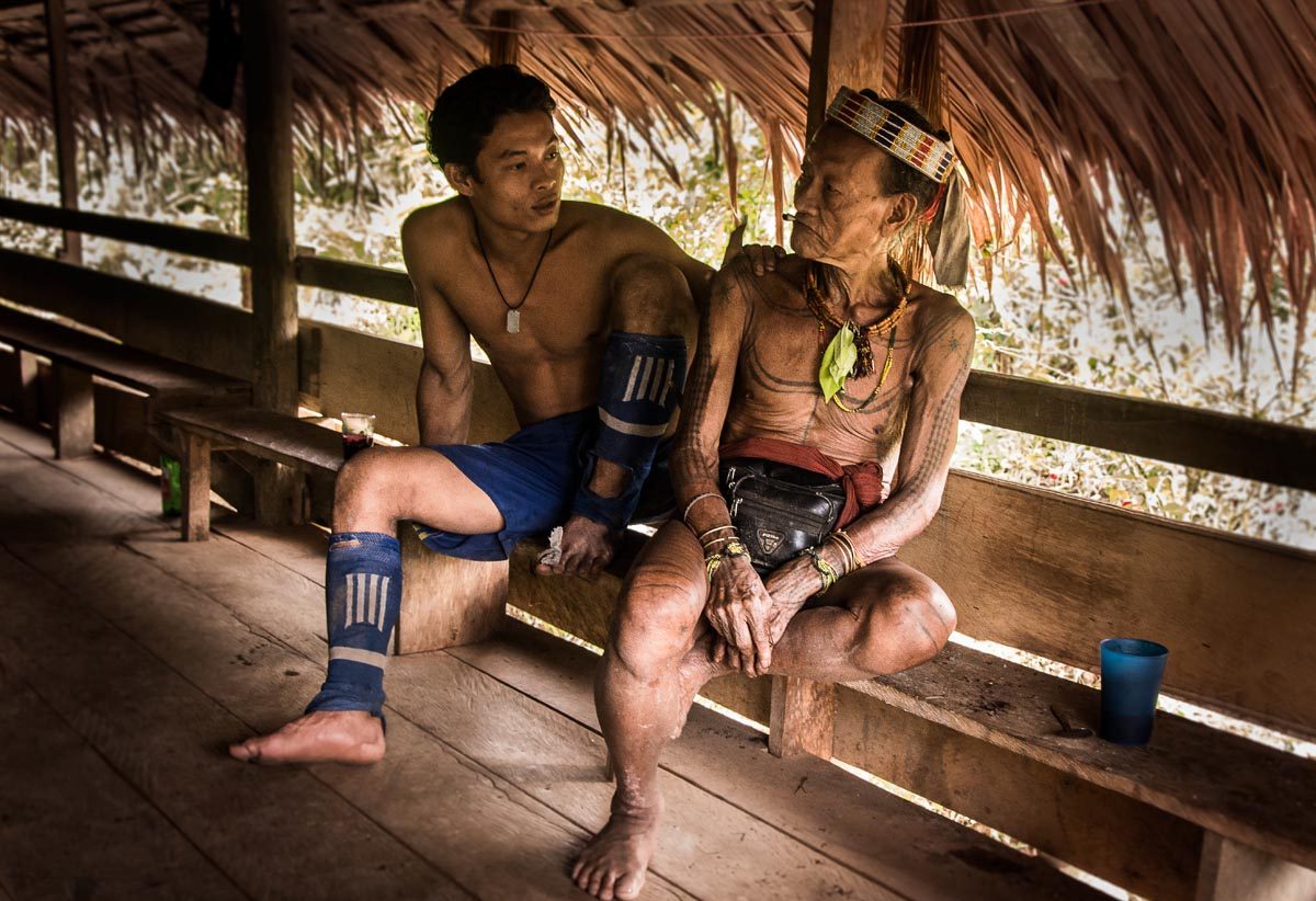
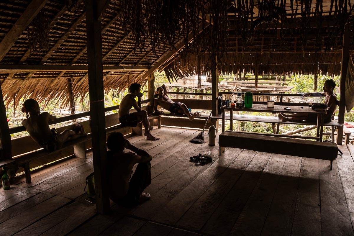
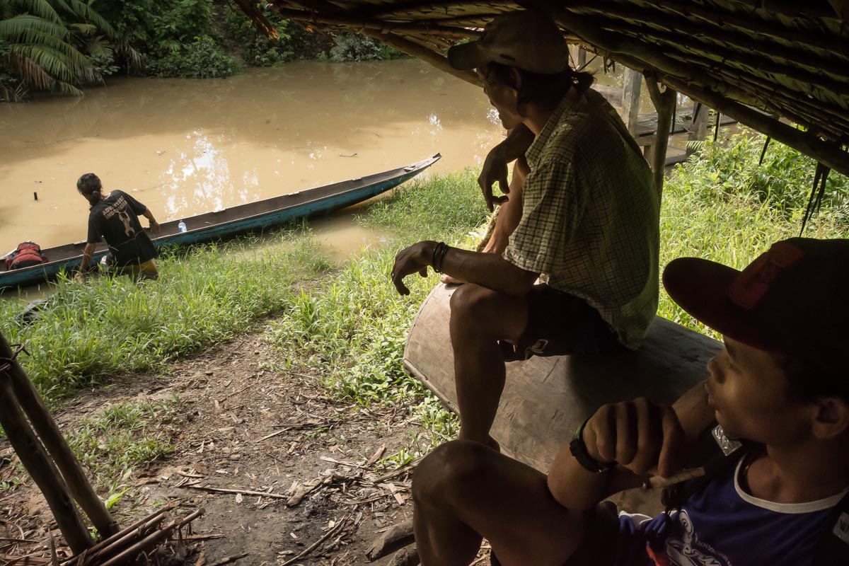
 Mentawai tribesmen sit in the traditional uma clan house in Dorogot hamlet discussing the upcoming hunting expedition. Siberut Island, part of the Mentawai archipelago in western Indonesia, is recognized as a U.N. Biosphere Reserve due to its outstanding cultural and ecological value.


