The Art of Not Being Governed – Revisited

Carrying water carriers made from thick elephant bamboo, this woman walks home through the forest from the water source spring.

Bamboo fencing lines rice fields. The Karen practice Swidden agriculture. The forested hills of Eastern Burma roll away into the distance. 

As one ventures further east from the high Himalayas where the elevation declines, vegetation takes a foothold making farming once again viable. This arc of hills and mountains spanning the countries of mainland Southeast Asia, has attracted migrants from a colourful array of ethnic backgrounds. Historically living with a high degree of autonomy, they have until recently managed to skirt the edges of lowland centres of power.  

With this unit of the Karen National Liberation Army guerrillas, armed with Kalashnikov’s and old carbine rifles, we marched along mountain ridges into the interior of the self-declared nation of ‘Kawtoolei’ comprising the extent of Karen held territory. It had taken me some while to gain permission for this journey from leader of Karen forces, General Bo Mya, who presided over the jungle base of Manerplaw, on the Thai-Burmese border.

Having at the outset passed through the Burmese army’s frontline on a speeding long-tail boat, we had taken to mountain paths and spent long days walking the hilltop ridges from one village to the next.

This was 1991 and already the Karen ethnic group had been in armed conflict with the Burmese government since Burma’s 1947 independence from its British colonists. One of our Unit expressed the bitterness shared widely across the Karen nation, that promises made by the British colonial administration, had not been honoured by subsequent Burmese government’s.

As we passed Karen farmers on the trail they regularly provided reports of the whereabouts of the Burmese soldiers, who tended to stick to the valley roads and rivers. All the villages were receptive to our arrival, providing food and supplies, always without a request for payment. This ethnic war effort was pulling together in a fight to evade capture and pursue self-determination.

The Karen are not alone in their efforts and still today ethnic groups on Burma’s mountainous periphery such as the Kachin, continue their armed struggle with the distant central government for control over their land, culture and livelihood. Now that democratic elections have to some extent been respected, the dreaded ‘Tatmadaw’ Burmese army no longer takes orders from the military junta generals, but from a democratically elected government led by Aung Sung Suu Kyi, known as the ‘Lady’ who for years led the people’s struggle for democracy.

Karen men manually saw planks in a saw pit in Eastern Burma.

Further afield, spanning regional borders across mainland Southeast Asia, a similar story of struggle for contested landscapes is continuing to play out, while the infrastructure of modern development makes inroads into the fabric of the hitherto largely natural landscapes.

In his 2009 book ‘The Art of Not Being Governed – an anarchist history of upland Southeast Asia’, James C. Scott, a Professor at Yale University in the United States, challenged modern notions of statehood in the region. Overturning conventional wisdom, he argued that for millennia the upland peoples had been playing a cat and mouse game with lowland states and concentrations of power. 

Scott describes the huge area of uplands about the size of Europe that spans the continent: “One of the largest remaining nonstate spaces in the world, if not the largest, is that vast expanse of uplands, variously termed the Southeast Asian massif and, more recently, Zomia.”

He argues that elevation of the topography is a key factor determining the reach of lowland states. And to some extent this remains the case despite the growing penetration of surfaced roads and communications infrastructure into the uplands. For the jungle base of Manerplaw, it was the purchase of military planes from the Chinese and the arial bombing that followed in the mid 1990’s that finally forced its residents to scatter. Not that it spelled the end of Karen resistance – far from it.

“Everything we know about the hill Karen – their historical fear of slavery, their self-image as an orphaned and persecuted people – suggests that their social structure and swiddening were designed to keep them at a safe distance from captivity.” Says Scott about this ethnic group.

Pulling apart and debunking historical assumptions applied to the hill people, Scott rewrites the history books in their favour. As he is keen to point out, with a strong oral tradition and little or no written language of their own, hill-tribes have often been misunderstood. All too often outside observers: rulers, colonialists and more recently development workers, have written histories of them, in mostly negative terms.

Carrying water carriers made from thick elephant bamboo, this woman walks home through the forest from the water source spring.

Scott however views this lack of written language as a pragmatic choice contributing to a complex strategy, which has enabled socially fluid hill populations to evade the imposition of bureaucracy by lowland administrators.

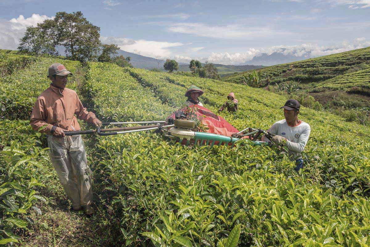
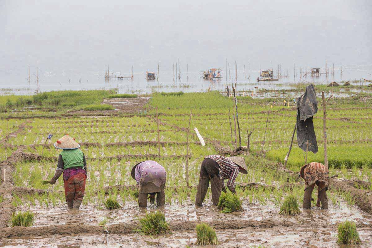
Historically a defining feature common to lowland centres of power in the region is irrigated rice cultivation: “virtually all the pre-modern state cores in Southeast Asia are to be found in ecological settings that were favourable to irrigated rice cultivation.” Says Scott.

Irrigated rice had various characteristics that rulers still favour. Scott explains how grain is relatively easy to transport as it has a “high value, per unit weight and volume, and can be stored for relatively long periods.” More importantly for state governments it is relatively easy to measure the area in cultivation, and to estimate or weigh harvested volumes. If required it is easy for state armies to appropriate grain in storage. All these characteristics make it an easy staple to tax.

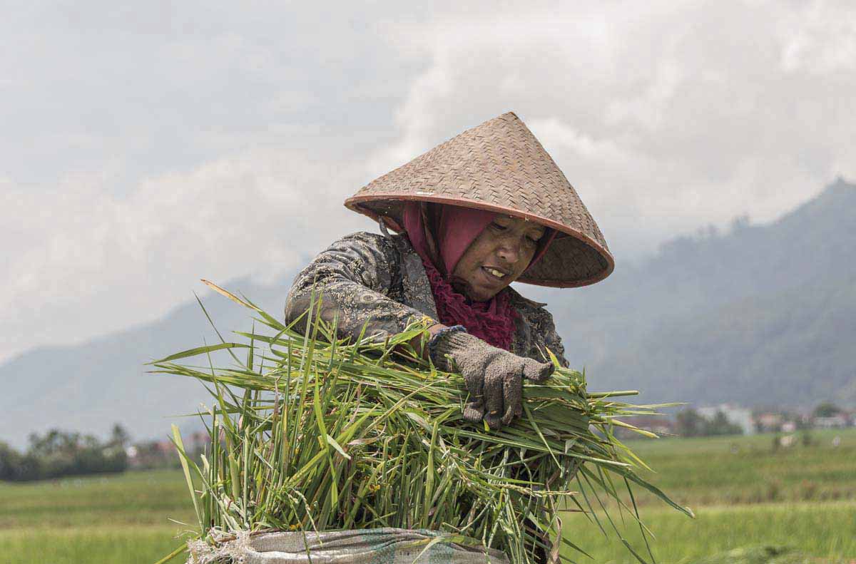
The people of the uplands like the Karen traditionally use shifting ‘Swidden’ systems for their rice cultivation, which depends on rainfall in contrast to the irrigated lowland rice paddy systems. Scott explains how the “shape –shifting,” propensity of the hill people to move their settlements at a moment’s notice, has regularly confounded centres of power, be they lowland governments or colonial administrators.

Historically at least this favoured agricultural method of shifting-cultivation is often attributed as a key reason for their nomadic tendency to move-on. Convention views assume that once forested land cleared for cultivation has become depleted of nutrients and exhausted, the community is forced to move on to find fresh land.

Logging trucks ford the Salween river border between Burma and Thailand at Mae Sam Laeb.
Logging trucks ford the Salween river border between Burma and Thailand at the Thai border village of Mae Sam Laeb.

This however is an oversimplification. If shifting cultivation, or ‘swiddening’ is done in rotation, leaving fallow fields to regenerate in-between burning, the system can be sustainable. Population pressure in recent years has in some areas caused the rotations to reduce in length, leading to shorter fallows and hence reducing the time available for fields to regenerate. Such prolonged rotations are often singled-out as the cause of deforestation in the hills, despite myriad other pressures.

 Scott however cites many other economic, social, political and religious reasons for communities to move, and analyses their motivations through the lens of freedom from slavery and oppression. He explains at length that the reasons underlying their selection of shifting agriculture are as much about evading political control as they are about efficiently producing food. A concept he terms, “escape-agriculture.”

A Karen boy plays in a mountain stream in the hills of Eastern Burma. 

“State rulers find it well nigh impossible to install an effective sovereignty over people who are constantly in motion, who have no permanent pattern of organisation, no permanent address, whose leadership is ephemeral, whose subsistence patterns are pliable and fugitive…” Scott explains.

“The technique is seen by lowland officials, including those in charge of development programmes in the hills, as both primitive and environmentally destructive.” Scott says, and highlighting the stigma attributed to swiddening by dominant ruling cultures continues:  “By extension, those who farm this way are also coded as backward. The implicit assumption is that, given the skills and opportunity, they would abandon this technique and take to permanent settlement and fixed field (preferably irrigated rice) farming.”

The “escape” advantages of swiddening involve, “poly-cropping, staggered maturities of crops, and an emphasis on root crops that can stay in the ground for some time until harvested. For the state or a raiding party, it represents an agricultural surplus and population that is difficult to assess, let alone sieze.”

Describing  the hidden qualities of the humble potato at evading capture he says: “After they ripen they can be left in the ground for up to two years and dug up piecemeal as needed. There is thus no granary to plunder.”

The violence and oppression of the state from which hill people flee remains a very real issue. Though now the land available for migration has diminished while at the same time generally the power of the state has continued to increase.

  • Weaving traditional tribal pattern at home in a hilltop village in Eastern Burma. 
  • A Karen hilltribe boy leans on a post in a hilltop Karen village in Eastern Burma. 
  • A woman Karen National Liberation Army (KNLA) commander in Eastern Burma. 
  • A Karen boy carries an ancient hunting rifle through the forest.
  • A Karen girl plays in the dirt in a hilltop Karen village in Burma.
  • A woman Karen National Liberation Army (KNLA) soldier on the parade ground at Manerplaw base camp in Eastern Burma. 
  • This woman in Eastern Burma is from the Karen tribe. She was said to be over a hundred years old.
  • Carrying a length of bamboo spliced to channel water, this Karen man inhabits a hill top village in Eastern Burma. 
  • A Karen boy wears a headband of plastic waste, at a newly formed refugee camp North of Mae Sot in Thailand. He had fled fighting between Burmese and Karen troops along the border. 
  • A Karen soldier climbs a hill through the forest carrying a pit saw. 
  • A mother and child wearing traditional Karen dress in a hilltop Karen village in Eastern Burma. 
  • A woman wearing traditional clothes from the Karen tribe, in the hills of Eastern Burma.

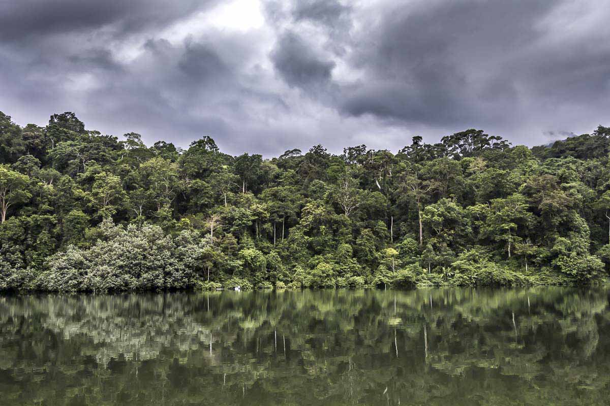
The Chong ethnic group from the Areng valley in the Southwest Cardamom mountains of Cambodia, still partly practice shifting cultivation in their valley, until recently isolated. The Areng river presents the lifeblood of the nine mile long valley, surrounded by steep hills of dense tropical rainforest.

Together with nature activists the Chong repelled a scheme to build a hydro-electric dam on their river which would have submerged the valley villages and farmlands. The struggle became a national rallying cry as the realisation dawned on Cambodians that this struggle was essentially about saving one of the last forested areas in the country. A country that until twenty years ago, had some of the most extensive tropical forests, remaining in the region.

Koh Kong province in Southwest Cambodia contains some of the most intact forests in Southeast Asia and is home to a plethora of rare species. The forests are under attack from multiple pressures bringing forest dwelling people into conflict with those exploiting the natural resources.

Prime Minister Hun Sen was installed to power by Vietnam forces and spent years trying to dislodge remnants of the retreating Khmer Rouge from their jungle hideouts. Including in the Cardamom mountains. He remains frank that no hiding place can be left for opposition to his increasingly unpopular regime. The corrupt kleptocratic elite under his leadership, is at the heart of the illegal logging and deforestation frenzy that has environmentally and socially ripped apart the country in recent decades.

Scott’s largely historical analysis still carries some relevance for our understanding of current struggles: “For early state elites, the periphery – seen frequently as the realm of “barbarian tribes” – was also a potential threat.” He says.

The awarding of over 200 hundred Economic Land Concessions (ELCs) each of at least 10 thousand hectares in size, has been deeply unpopular policy in a country where the majority of the population still lives off the land. Sold off to the highest bidder, often to powerful cronies within the elite and to international corporations, the land is explicitly designated for intensive industrial agriculture.

Demarcation of the ELCs has paid no regard to the existing inhabitants, nor the status of the land. National Park forests, Indigenous peoples communal forest areas, everything is up for grabs. The tragic story being played out is causing deep fissures in society as an estimated half a million farmers and forest dwelling people are forced either to stand and fight for their land or to move on.

Residents of Prek Smach commune, Kiri Sakor district building a road blockade to guard their village from threats by the Union Development Company. Botum Sakor national park, Koh Kong Province, Cambodia.

In the Areng valley the current road upgrading is being debated. In many senses it makes life easier, with regular transport to commercial centres for supplies now feasible for most of the year. Still the tropical rainy season has a major impact, washing away much of the seasonal road improvement building. In addition power cables are being erected alongside the road, causing encroachment into the forest. People raise concerns that such conveniences may also hold hidden threats to their forests as poachers arrive from outside, and an increased presence of state authorities threatens their relative autonomy.

Last year the Chong people, perhaps emboldened by their victory against the dam, embarked on the process of pursuing recognition for their indigenous rights (under the UN Declaration on the Rights of Indigenous Peoples, to which Cambodia is a signatory), with United Nations support. The Cambodian Government refuses to recognise the existence of ethnic groups, let alone the concept of Indigenous Rights.

Scott makes no claim that his analysis can be applied to today’s circumstances characterised as all pervasive:  “At a time when the state seems pervasive and inescapable, it is easy to forget that for much of history, living within or outside the state – or in an intermediate zone, was a choice, one that might be revised as the circumstances warranted.”

The increasing penetration of state control over the land, is a crucial difference to Scott’s historical past where population density was low enough for hill peoples to move away from the reach of dominant state control and into largely uninhabited spaces where land for cultivation was plentiful.

However it would be wrong to suggest that this is a defining factor. For the Chong people, the experience of being galvanised into active struggle has led to a heightened level of self-empowerment. So as well as the land they are now pursuing recognition of their indigenous rights as a supplementary means of maintaining their traditional autonomy.

Likewise the growing numbers of young student activists in Cambodia who have campaigned in support of the Chong, are opening up new spaces of activism on the internet, which like their forefathers inhabiting land spaces, allows some agility to be able to act while evading the constant shadow of state oppression.

Originally published in, The Land Magazine, Issue 21.

Photography Gear

The Burma photos were shot on transparency film, mostly Kodachrome. They were scanned using a Nikon coolscan LS 9000.

They were shot using a Nikon FE body with lenses: Nikkor 50mm f1.4 Ais, 28mm f2.8 Ais, and a Vivitar series 1, 70-210mm f2.8-4.
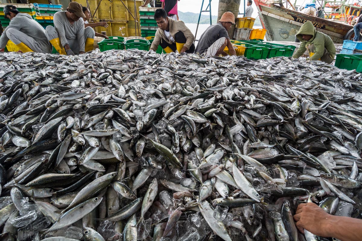
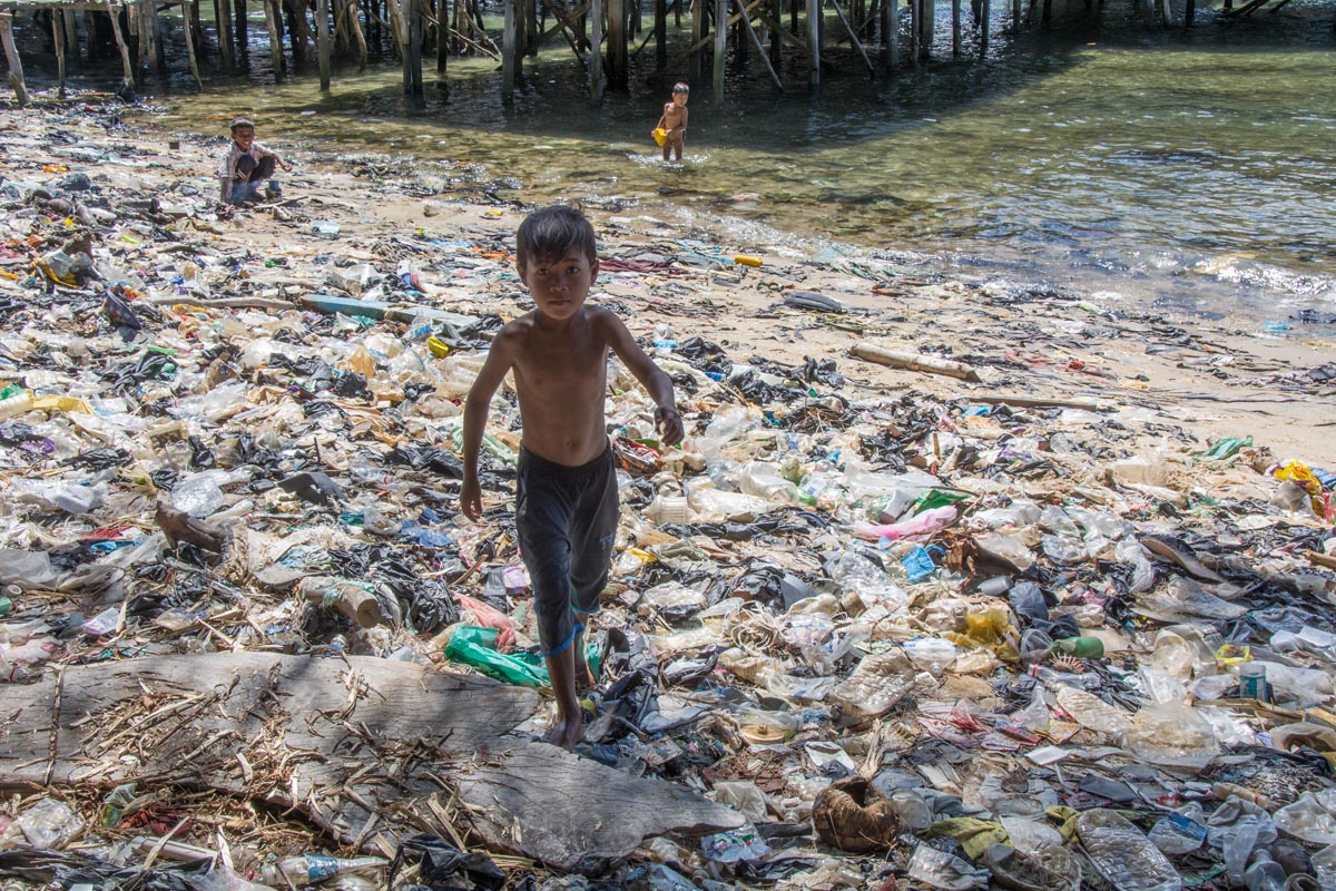
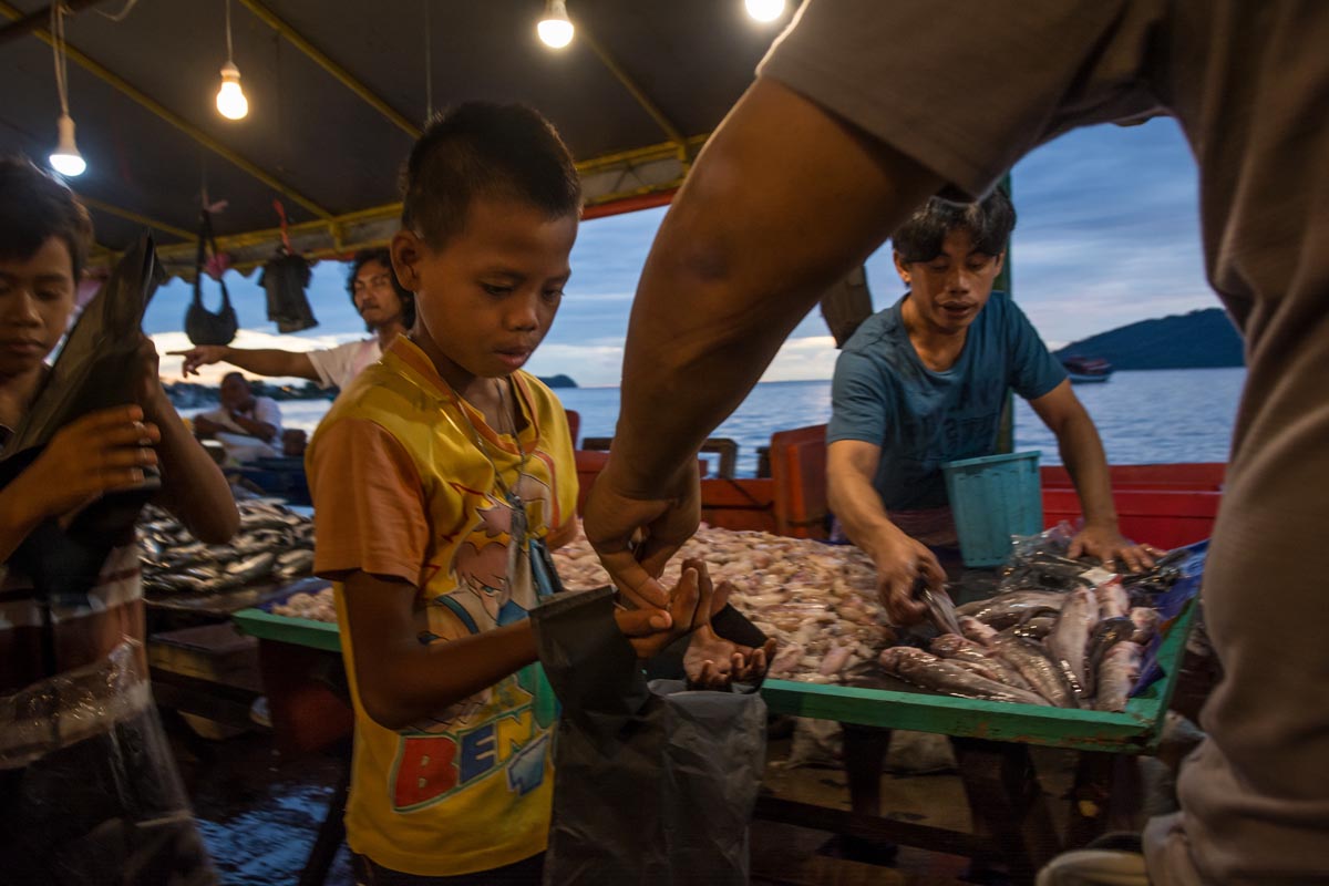
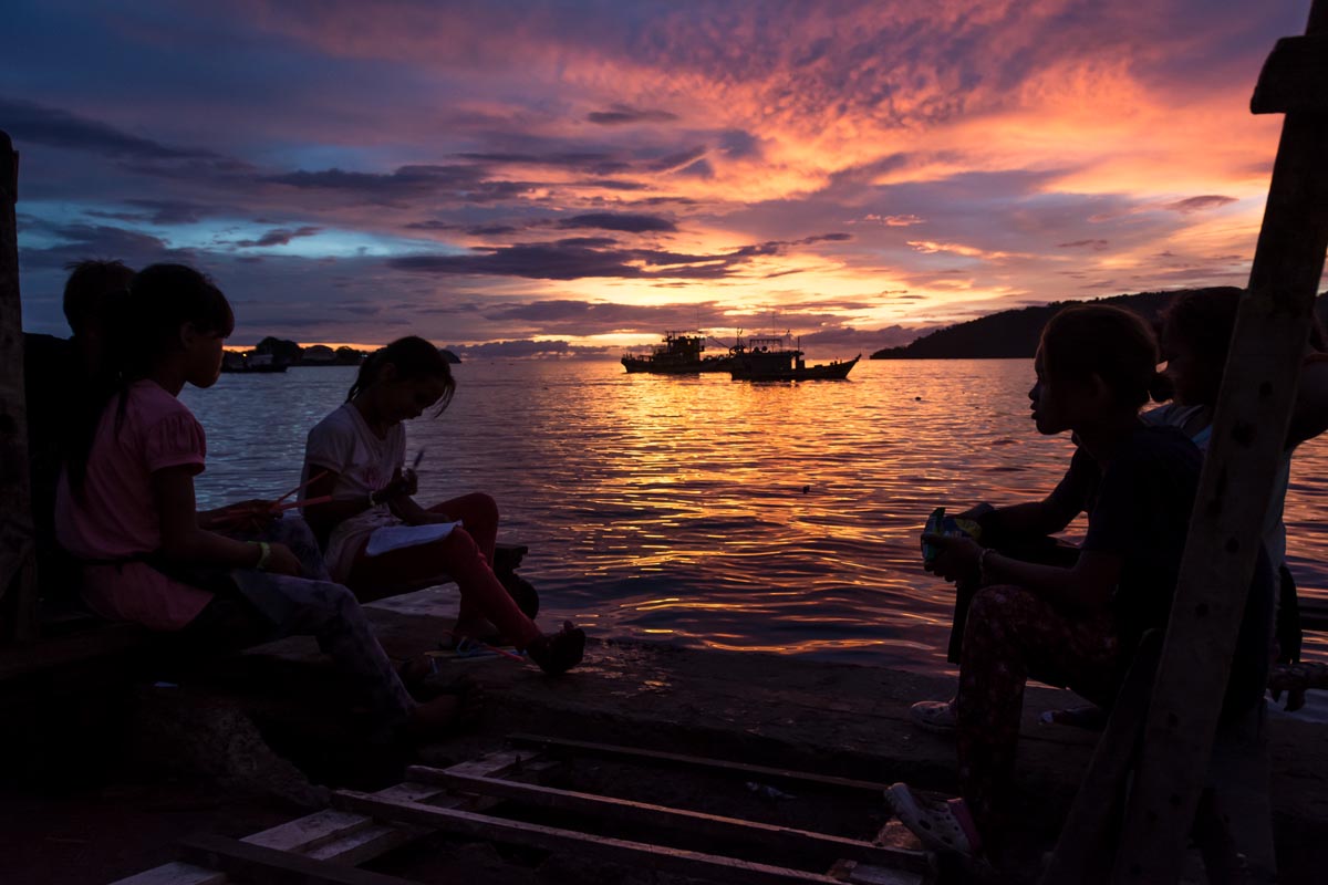
Roads threaten Indonesia’s last Tiger territory

Tea harvesting on the slopes of Kerinci volcano Lake Kerinci's floods leave fertile sediment on the rice paddies Valley cultivation puts pressure on the forest Rain clouds over the Tiger forest
  • Sumatra’s Kerinci Seblat National Park is part of a UNESCO World Heritage Site known as the Tropical Rainforest Heritage of Sumatra (TRHS), which has been inscribed on UNESCO’s List of World Heritage in Danger since 2011.
  • UNESCO has noted particular concern about a spate of road projects planned for Kerinci Seblat and other protected areas within the TRHS.
  • According to park officials, Indonesia’s forestry ministry has refused permits for all new roads within the park; the sole project to receive permission is the upgrade of an existing road.
  • The park still faces immense pressure from encroachment for agriculture, logging, mining and poaching.

The rainforests that once carpeted Indonesia’s Sumatra Island are among the world’s most biodiverse ecosystems, home to iconic species like the Sumatran tiger, rhino and orangutan. They are also among the most imperiled; in just two decades, between 1990 and 2010, Sumatra lost 40 percent of its old-growth forest. The tigers, rhinos and orangutans that roamed those forests are now critically endangered.

Much of the intact forest that remains is protected, at least nominally, in a series of National Parks, and, since 2004, as a UNESCO World Heritage Site known as the Tropical Rainforest Heritage of Sumatra (TRHS).

In recent years, concern has grown that Indonesian authorities are not doing enough to protect this critical biodiversity hotspot. Since 2011, the site has been inscribed on UNESCO’s List of World Heritage In Danger due to the risks of logging, encroachment, road expansion and poaching.

In 2016, UNESCO flagged up concerns about road construction in the area, particularly in Kerinci Seblat National Park, a protected area extending for 350 kilometers (217 miles) from northwest to southeast along the rugged spine of the Bukit Barisan Mountains.

In the years since, it’s been some good news and some bad news for Kerinci Seblat National Park.

Cancelled Roads

In 2016, UNESCO identified 12 planned or proposed road projects in four zones of the park. Now, park officials say, the list of road expansion projects of concern has been whittled down to five. And of those, four are cancelled. The only project currently set to go forward is the improvement of an existing road, which runs from Sandaran Agung mountain across to Tapan near the West coast.

According to Hadinata Karyadi, a spokesman for Kerinci Seblat National Park in Sungai Penuh, the town encircled by the park, the local office of the forestry ministry had formally recommended to the minister that the four now-cancelled projects be denied approval. For example, Karyadi says his office urged the ministry to refuse approval for a proposed road through the village of Lempur because it threatened critical tiger habitat. Those rejections were duly issued over a two-year period, with the last project being denied a permit in 2018.

The road-improvement project that was approved presents fewer environmental concerns, Karyadi says, because it involves upgrading an already existing road rather than building a new one. The current road is steep, winding and currently in such bad condition that even public minibuses will not use it, Karyadi says. Once improved, though, he says the road will be sufficient to serve as an evacuation route in case of natural disasters — one of the frequent justifications for proposing new road projects in the park. “Improving the existing road is better than building a new one,” he says. “If it is good, it will be enough for evacuation needs for now.”

Some concerns do remain, because any increase in traffic on a road through the park could affect the local wildlife. In late 2018, Fauna & Flora International (FFI), an NGO working closely with the national park management, planned an “intensive biodiversity survey” to “assess impacts of upgrading a road running through the national park and make recommendations to government.”

For now, the most hazardous road proposals seem to be off the table, though FFI notes that “local political elites” continue to push for the revival of the cancelled projects. But the park and its ecosystems remain under serious threat due to population growth, agriculture and industry.

“Encroachment on the national park is the main problem,” Karyadi says. He adds that the current staff of around 70 rangers isn’t enough to police the huge perimeter and that his office has requested a larger budget.

A rejected road

One of the most controversial projects was the proposed new road in the south of the park, through Lempur. At present a trail runs from Lempur, through the village rice fields and continues as a wide rocky walking trail that winds through the forest. According to locals, it’s been there ever since anyone can remember. These days it’s used mainly to get to local tourist sites such as Kaco Lake and for trekking to the national park.

“My team made a full report and gave it to the ranger,” says trekking guide Andi Tiasanoawa in Lempur, explaining his response to the road proposal. “We don’t want people cutting the trees,” he says, adding that he makes his living from the forest and doesn’t want it damaged.

Guide Zacky Zaid, who has been trekking these hills regularly for 10 years, says a past road project in the area made people aware of the potential downsides such developments can bring. Zaid says that around five years ago the government agreed to build an access road to the village of Renah Kemumu inside the park boundary. “This route was one of the popular five-day treks that we did,” Zaid says. But once the road was built, the wildlife that the tourists came to see dwindled. “Lots of people cut the trees when the government built the road,” he says. “The nature is not really good anymore. There are no big trees anymore. For us I’m so sad. We closed trip there a couple of years ago.”

Ultimately, the Lempur road was rejected “because it threatened the tiger core area,” Karyadi says.

Fertile farming

At 3,805 meters (12,483 feet) above sea level, Mount Kerinci is the tallest volcano in Indonesia, and dominates the landscape here. The alluvial sediment deposited by past eruptions provides the valley with mineral-rich soil that draws farmers. Steep hills that ring the valley create the boundary to the national park beyond. Migration into the valley has led to pressure on the park as farmers encroach on the hills.

A huge 10,000-hectare (24,700-acre) tea plantation stretches across the valley floor; in between, farmer’s plots host a variety of everything from potatoes to tomatoes and coffee.

As the elevation rises and the valley floor gives way to the steep mountain slopes, the crops change to cinnamon, rubber, coffee and cloves. These tree crops give the slopes a forested appearance, but close up the hills are cultivated and densely populated with farming communities.

“The cinnamon boom is a particular problem” driving encroachment, says Karyadi. Others see it as a benign and sustainable traditional practice that also has economic benefits for poor farmers.

In the farming village of Talang Kemulun at the foot of the hills that form the valley’s southern perimeter, Eibru Hajar says he mainly grows cinnamon and coffee on his own land. “I have around a hundred cinnamon trees and cut them in a rotation cycle of 15 years,” he says. “I get around 50 kilos [110 pounds] per tree.

“The rangers come by every couple of months,” Hajar adds. “So I’m afraid of cutting the trees [inside the park boundary]. The penalty for cutting forest trees is a big fine and if you don’t have money you get several months in prison.”

But the threat of penalties doesn’t deter everybody, and NGOs like FFI report that land continues to be cleared within the borders of the park.

Illegal mining is another threat. In a 2018 report, FFI said it found alluvial gold mining sites in and around the park’s borders, “posing serious threat to a key tiger corridor with a dirt road constructed which entered the edge of the national park.” Despite the central government’s commitment to protecting the park, local political pressure on the park remains high. In 2017, it spilled into open conflict when gold miners held a municipal government official hostage, according to FFI.

FFI also tracks illegal logging and poaching of pangolins, tigers and other wildlife. It notes that law enforcement efforts since 2016 did seem to have an impact on reducing the poaching, but that these efforts remain a challenge.

With agribusiness and extractive industries hungry for new land, the pressure on Sumatra’s forests is relentless. Kerinci Seblat is no exception, and migrant farmers have swelled the local population, placing further pressure on the national park.

Last year the park management set up a Role Model Program, to try and stem escalating encroachment, especially by migrant farmers who frequently claim that the park’s boundaries are unclear.

“The park boundary is well demarcated with concrete markers about one meter [3 feet] tall,” Karyadi says. “In some places locals have dug up the marker posts.”

The scheme aims to restore encroached forest and establish alternative livelihoods. Along the way are manifold obstacles, not least gaining the participation and cooperation of sometimes reluctant farmers.

“This week we caught some illegal loggers and handed them to the police. They will be judged by the law,” Karyadi says. His office is trying to navigate a tricky path between encouraging farmers to change their practices through incentives (some get financial rewards under the Role Model scheme), and punishing offenders who have clearly broken national park rules.

For now, encroachment by farmers is ongoing, but local political attempts to accelerate this by opening up new areas through road-building have been limited. Meanwhile, political tensions remain between politicians seeking more infrastructure building and the forestry ministry, which works with the support of international NGOs to maintain the integrity of the national park and its borders.

First published by mongabay.com

  • Tea plantation, Kerinci valley, Sumatra, Tiger territory, conservation conflict, agriculture, rice farming, tropical rainforest
  • Tea plantation, Kerinci valley, Sumatra, Tiger territory, conservation conflict, agriculture, rice farming, tropical rainforest
  • Tea plantation, Kerinci valley, Sumatra, Tiger territory, conservation conflict, agriculture, rice farming, tropical rainforest
  • Tea plantation, Kerinci valley, Sumatra, Tiger territory, conservation conflict, agriculture, rice farming, tropical rainforest
  • Kerinci valley, Sumatra, Tiger territory, conservation conflict, agriculture, rice farming, tropical rainforest, sugar cane factory
  • Kerinci valley, Sumatra, Tiger territory, conservation conflict, agriculture, rice farming, tropical rainforest, sugar cane factory
  • Kerinci valley, Sumatra, Tiger territory, conservation conflict, agriculture, rice farming, tropical rainforest, sugar cane factory
  • Kerinci valley, Sumatra, Tiger territory, conservation conflict, agriculture, rice farming, tropical rainforest, coffee factory
  • Kerinci valley, Sumatra, Tiger territory, conservation conflict, agriculture, rice farming, tropical rainforest, coffee factory
  • Kerinci valley, Sumatra, Tiger territory, conservation conflict, agriculture, rice farming, tropical rainforest, rice factory
  • Kerinci valley, Sumatra, Tiger territory, conservation conflict, agriculture, rice farming, tropical rainforest, rice threshing factory
  • Kerinci valley, Sumatra, Tiger territory, conservation conflict, agriculture, rice farming, tropical rainforest
  • Kerinci, Sumatra, Tiger territory, conservation conflict, agriculture, rice farming, tropical rainforest
  • Kerinci valley, Sumatra, Tiger territory, conservation conflict, agriculture, rice farming, tropical rainforest
  • Kerinci valley, Sumatra, Tiger territory, conservation conflict, agriculture, rice farming, tropical rainforest
  • Kerinci valley, Sumatra, Tiger territory, conservation conflict, agriculture, rice farming, tropical rainforest
  • cinnamon factory, Kerinci, Sumatra, Tiger territory, conservation conflict, agriculture, rice farming, tropical rainforest
  • Farmer, Kerinci, Sumatra, Tiger territory, conservation conflict, agriculture, rice farming, tropical rainforest
  • cinnamon factory, Kerinci, Sumatra, Tiger territory, conservation conflict, agriculture, rice farming, tropical rainforest
  • cinnamon factory, Kerinci, Sumatra, Tiger territory, conservation conflict, agriculture, rice farming, tropical rainforest
  • cinnamon factory, Kerinci, Sumatra, Tiger territory, conservation conflict, agriculture, rice farming, tropical rainforest
  • Kerinci, Sumatra, Tiger territory, conservation conflict, agriculture, rice farming, tropical rainforest, cinnamon factory
  • cinnamon factory, Kerinci, Sumatra, Tiger territory, conservation conflict, agriculture, rice farming, tropical rainforest
  • Kerinci, Sumatra, Tiger territory, conservation conflict, agriculture, rice farming, tropical rainforest, cinnamon factory
  • Kerinci, Sumatra, Tiger territory, conservation conflict, agriculture, rice farming, tropical rainforest
  • Kerinci, Sumatra, Tiger territory, conservation conflict, agriculture, rice farming, tropical rainforest
  • Kerinci, Sumatra, Tiger territory, conservation conflict, agriculture, rice farming, tropical rainforest

Stateless: Sabah fails children of the sea

A boy paddles using his shoes in an upturned aluminium washing-up bowl he is using as a boat offshore from Gaya Isand, Sabah, East-Malaysia. He is one of thousands of stateless people on Gaya island, mainly from the Bajau Laut community of sea-gypsies and immigrants from the Sulu area of The Philippines.

STATELESS CHILDREN OF BORNEO Children of Sabah's migrants are invisible to the state Sorting fish from a month at sea Stateless means no school Market work starts young

Thousands of undocumented immigrant children live in Sabah, East Malaysia on Borneo Island. Some have lived there for many years and have families. Not eligible for official documentation they are stateless people.

Lacking official recognition, children cannot attend state school and many end up with no education working in menial jobs. Others are exploited by traffickers. Many are Bajau sea-gypsies, others are immigrants from the Muslim Sulu area of Southern Philippines. Indonesian workers also come across the porous border from Kalimantan seeking work.

Sea gypsies migrate

Many of the Bajau Laut sea gypsies have now settled in Sabah. Climate change, overfishing and poverty have caused them to give up their nomadic life on the sea in favour of the shanty towns of coastal Sabah. The presence of migrants has been tolerated because many are contributing work in the state. However in recent years a rise in Muslim terrorist activity at tourist resorts around the coast has made the government less tolerant towards the migrants and less inclined to provide residency papers. So these shanty communities remain in limbo, trapped in an insecure situation where they cannot progress.

This story follows children from the shanty villages of Gaya Island, offshore from capital Kota Kinabalu, as they fight, play and hustle for a living in the capital’s busy fish docks and markets.

error: Content is protected !!